Camarillo, California
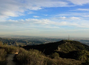
Camarillo, California is a hub for top outdoor adventures. One of the best trails is the Calleguas Creek Bike Path. This 6-mile trail offers scenic views of the local farmland and the Santa Monica Mountains. With its flat terrain and paved path, it's suitable for all fitness levels. For a more challenging trail, head to the Camarillo Grove Park. The park's trail network winds through dense oak groves and past unique rock formations. It's a must-visit for birdwatchers, with over 150 species spotted in the park. Nearby, the Conejo Valley Botanic Garden offers 33 acres of native plants and walking paths. For water-based activities, head to the nearby Channel Islands Harbor where you can kayak, sail, or simply enjoy the ocean views. With these attractions, Camarillo is a great destination for outdoor activities.
Top Spots in and near Camarillo
-
Santa Barbara, California
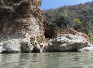
Red Rock Pools
0.89 mi / 10 ft gainRed Rock Pools is a relatively popular swimming hole located along the Santa Ynez River about an hour outside of Santa Barbara, California. The trail to the swimming hole is relatively short, but more pools can be found if you follow the Gibraltar Trail down to the Gibraltar Dam (an additional ...Read more -
Los Angeles, California
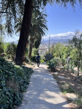
Landa St Stairs (Esther's Steps)
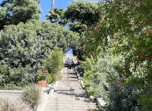
5.00.18 mi / 138 ft gainOne of the hidden gems of the neighborhood, a beloved local named Esther Aagaard Tapebland walked these steps everyday, for 50 years in Silver Lake. Fountain Ave becomes Landa St. Park on Griffith Park Ave and hike your way up the steep driveway. Amazing views of Hollywood, the Hollywood Sign, th...Read more -
Los Angeles, California
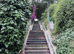
Micheltorena Stairs
3.00.19 mi / 75 ft gainI preferred the steps, before anything was painted on them. Whoever thought it would be a great idea to do that was wrong. No upkeep and these stairs have been heavily vandalized. The steps are a series of stairways you will find throughout Silver Lake and neighboring areas. They facilitated peo...Read more -
Los Angeles, California
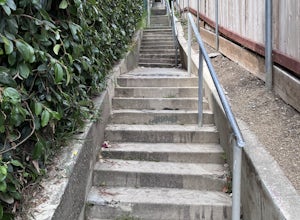
Descanso Steps
4.00.1 mi / 20 ft gainThe steps are a series of stairways you will find throughout Silver Lake and neighboring areas. They facilitated people from the neighborhood in getting to the “red” streetcars, that used to run throughout the city. Cool relics of a mostly-forgotten past. These particular steps take you down from...Read more -
Los Angeles, California
Piano Mural Staircase aka “Murray Staircase”
5.00.08 mi / 69 ft gainThe “Piano Stairs” is a stair mural in Silver Lake neighborhood section of LA. Not to be confused with the “Music Box” staircase that is close by. These 90 steps were painted to look like the piano keyboard by the artist Carrey. Great for a cardio workout and not as creepy as some of the stairs h...Read more -
Los Angeles, California
Music Box Steps
5.00.08 mi / 20 ft gainClimb a historical landmark in LA. This is where the famous, Academy Award winning short, Laurel and Hardy made called "The Music Box”. Filmed back in the 1930's the story is about two movers trying to deliver a piano, up these steps. There is a plaque is dedicated at the bottom to this film. It’...Read more -
Los Angeles County, California
Trail Canyon Falls
4.04.56 mi / 1017 ft gainTo get to the trail, take Big Tujunga Canyon Road until you see signs for Trail Canyon Road. The entry point is easy to miss, but keep an eye out for a stop sign and cars parked at the bottom of a dirt path. Drive up the dirt path for direct parking at the trailhead (4x4 is definitely recommended...Read more -
Los Angeles, California
Silver Lake Reservoir Trail
3.02.18 mi / 79 ft gainSilver Lake Reservoir Trail is a loop trail that takes you by a lake located in the Silver Lake neighborhood of Los Angeles, California. This urban escape is used by people running, walking, and birding. The trail is stroller-friendly, so you may see parents along the trail with their younger fam...Read more -
Agua Dulce, California
Vasquez Rocks
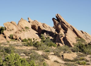
5.02.42 mi / 367 ft gainThis is a Natural Park Area located in Santa Clarita, within the Sierra Pelona Mountains. It features amazing diagonal rock formations, created because of the force between two tectonic plates pushing against each other. This place is a photographer's paradise, and every spot in this 900+ acre l...Read more -
Los Angeles, California
Mattachine Steps
5.00.09 mi / 52 ft gainThe Mattachine Steps, also known as the Cove Avenue stairway, is dedicated to the Mattachine Society (The name was taken from a medieval French secret society that set out to right wrongs.) in 2012 in memory of Harry Hay, who cofounded the gay rights group. Right along this stairway is a small ho...Read more -
Santa Clarita, California
Hike the PCT and Foot Trail Loop through Vasquez Rocks
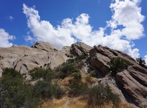
5.05.5 mi / 287 ft gainThe Pacific Crest Trail and foot trail hike is a 5-mile loop with a quick PCT branch-off that leads under the 14 freeway through a long, well-maintained (but very dark) tunnel. Pull into the well-marked parking lot and stop in the visitor center to take a look at the topographical park model and...Read more -
Los Angeles, California
Secret Stairs Astro Loop
2.34.21 mi / 600 ft gainI learned about these remnants of Los Angeles history, just a few months ago. When I found myself in L.A. this past month, I decided to find some of these stairs, and find out what they’re all about. Back in the 1920’s these stairs were created for pedestrians to have direct routes to the trans...Read more -
Los Angeles, California
Three Stooges Stairs
4.00.07 mi / 43 ft gainThe stairs are about 147 steps. Located at Fair Oak View Terrace and Edendale Place in the Silver Lake, a district of Los Angeles. They are famous for where the Three Stooges short "An Ache In Every Stake" was filmed in 1941. It is a classic scene of where they have to deliver a block of ice all ...Read more -
Los Angeles, California
Echo Park Lake
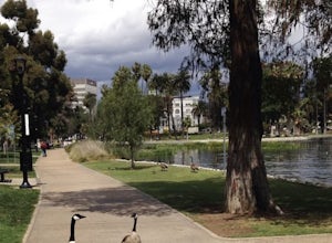
3.00.98 mi / 0 ft gainEcho Park Lake in Los Angeles has a loop that is about 1 mile around. It’s a pretty busy park, that has ducks and geese everywhere. Beautiful lotus blossoms and iris flowers in the lake. Generally flat and one tiny incline that can easily be avoided. You can also rent swan paddleboats that light ...Read more -
Glendale, California
Beaudry Loop
5.79 mi / 1572 ft gainThe Beaudry Loop trail features a bench at the top with 360 degree views of the greater LA area. The trailhead is a little hidden on Beaudry Blvd. As Beaudry Blvd turns into Beaudry Terrace, you'll see cars parked at the paved trailhead. There is very little shade on the trail so bring ample sun...Read more -
Glendale, California
Mt. Thom and Tongva Peak
6.06 mi / 1480 ft gainMount Thom and Tongva Peak are accessed by using the 6.2 mile out and back trail, Las Flores Motorway located in the north part of Glendale, CA. Roadside parking is not allowed near the trailhead, you will need to park in the nearby residential area along Sunshine Drive about 0.15 miles away from...Read more

