Big Creek, California
Big Creek, California offers some of the best trails and outdoor activities. One must-visit is the Big Creek Trail, a scenic route that takes you through a dense forest of pine and redwood trees. The trail is moderately challenging, making it perfect for those seeking a bit of an outdoor adventure. Along the way, you'll pass by the stunning Big Creek Bridge, a historic landmark that provides panoramic views of the surrounding wilderness. The trail also features a variety of natural attractions, including the roaring Big Creek Falls and the tranquil Big Creek Lake. Whether you're into hiking, birdwatching, or simply enjoying the great outdoors, Big Creek is a top destination for all.
Top Spots in and near Big Creek
-
Mono County, California
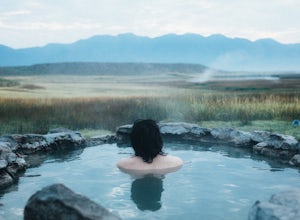
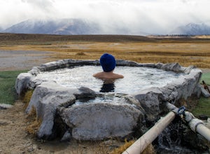
Crab Cooker Hot Springs
Getting There: Take Highway 395 heading toward Benton Crossing Road. Turn onto Benton Crossing and you’ll see an adorable wee green church. Continue two miles down the road. You’ll make a left turn and head down a dirt road. Cell service is scant in this area, so you'll probably want to...Read more -
Mono County, California
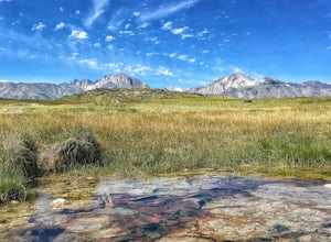
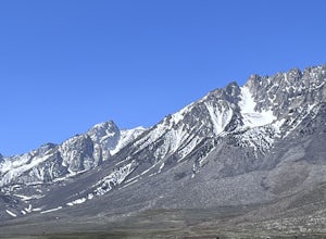
Shepherd Hot Springs
4.0Located a short distance from US 395 near Mammoth/Yosemite Airport, Shepherd Hot Spring provides a great opportunity to relax while taking in spectacular views of the Eastern Sierras and surrounding area. After a hard day on the slopes or long day on the trail this hot spring provides a comforta...Read more -
Mariposa County, California
Backpack to Clouds Rest from Glacier Point
4.023.85 mi / 6942 ft gainStart from Glacier Point around 7,200 feet leaving on the Panoramic Trail. Head down 2 miles to Illilouette Falls (5,800 feet). Once you cross the bridge at Illilouette Falls you go up Panorama Point and head back down to Nevada Falls (5,971 feet). Once you reach Nevada Falls fill up on as much w...Read more -
Mono County, California
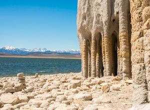
Explore Crowley Lake Columns
4.0Starting from Mammoth Lakes you head South on Highway 395 until you get to Benton Crossing Rd. (Green Church on the corner) and make a left.From Bishop you head North for about 30-40 miles until you hit Benton Crossing Rd. and make a right.From here, continue West and bending South for close to 2...Read more -
Mammoth Lakes, California
Soak in Mammoth's Hilltop Hot Springs
4.3Mammoth’s volcanic valley floor is peppered with these natural steamy tubs with panoramic views of the Eastern Sierra. It’s pretty damn whimsical. My personal favorite is the Hilltop Hot Tub, which is a man-made stone pool fed by a bubbling, steamy creek. According to some corner of the web, it i...Read more -
Bishop, California
Buttermilk OHV Road
5.014.73 mi / 2802 ft gainButtermilk OHV Road is a point-to-point trail that provides a good opportunity to see wildlife located near Bishop, California.Read more -
Mono County, California
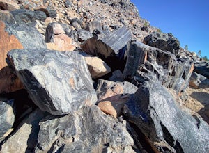
Obsidian Dome Trail
3.01 mi / 75 ft gainObsidian Dome Trail is an out-and-back trail that provides a good opportunity to view wildlife located near June Lake, California.Read more -
Mariposa County, California
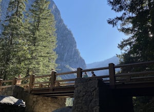
Vernal Fall Foot Bridge Trail via Mist and John Muir Trail
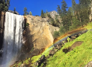
5.02.4 mi / 761 ft gainVernal Fall Foot Bridge Trail via Mist and John Muir Trail is a loop trail that takes you by a waterfall located near Yosemite Valley, California.Read more -
37.732842,-119.557782
Panorama Trail
4.816.87 mi / 3200 ft gainThe Panorama Trail is an outstanding hike that takes you from the Yosemite Valley floor up to Glacier Point. Or you can hike it downhill going from Glacier Point to Yosemite Valley. You can camp and make it an overnight trip or do it as a day trip by leaving a car at one end and taking a park sh...Read more -
Mariposa County, California
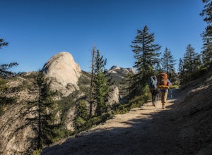
Little Yosemite Valley Campsite and Half Dome
4.613.88 mi / 4800 ft gainFirst things first. You will need to get a wilderness pass by entering the lottery for Half Dome access. If you don't get a pass via lottery just go to the Yosemite Valley visitor center, tell the clerk you are backpacking to Little Yosemite Valley and that you would like to hike up Half Dome. Th...Read more -
Yosemite Valley, California
Mist Trail to Vernal Falls
4.93.11 mi / 1319 ft gainThis is one of the most epic short hikes that you can do in Yosemite. Highly recommend it for anyone staying in the valley or visiting with enough time for a 2-3 hour hike. While the distance isn't long, you will stop a lot along the way to take in the beauty and also spend time at the top of the...Read more -
YOSEMITE NATIONAL PARK, California
Illilouette Falls in Yosemite National Park
4.55.07 mi / 1400 ft gainThe hike begins at Glacier Point. Find the marker for the Panorama Trail just beyond the viewing steps (to the right, if you’re looking at Half Dome). The first section of the hike will be lined with open views of Half Dome, Vernal Falls and Nevada Falls. It will be hard not to stop to listen ...Read more -
Mariposa County, California
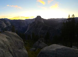
Photograph Yosemite's Half Dome at Glacier Point
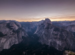
4.7Glacier Point gives you a classic view of Half Dome and Yosemite Valley. You can get a different perspective of Half Dome if you jump on any of the trails heading out of Glacier Point. Illilouette Falls trail gives you a different view of Half Dome. This trail is around 4-5 miles round trip fro...Read more -
Mariposa County, California
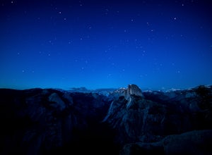
Stargaze and Photograph the Night Sky at Glacier Point
5.0The summer months of June, July, and August tend to provide the best views of the stars, and particularly in August during the meteor showers. Amateur astronomers often gather on Saturdays during the summer, and provide first hand knowledge and guidance. Glacier Point can accommodate hundreds of ...Read more -
Mariposa County, California
Reverse Summit of Glacier Point in Yosemite National Park
4.517 mi / 6100 ft gainYosemite's Panorama Trail is undoubtedly one of the most scenic and worthwhile trails in the entire national park. The stretch that reaches from the valley floor to the top of Glacier Point involves 8.5 miles and a monumental amount of elevation gain. If you want to see the entire stretch of trai...Read more -
Mono County, California
Gem Lake via Rush Creek
5.06.91 mi / 2313 ft gainThis hike starts next to Silver Lake in the June Lake Loop, located just north of Mammoth Lakes, CA off HWY 395. There is a parking lot near the RV park as well as street parking across the road from the trailhead. Once you head out on the hike, you'll start gaining elevation as you hike up tow...Read more

