Big Bear, California
Big Bear, California is known as a top destination for outdoor adventurers. With its scenic mountains, lakes, and trails, it offers a variety of top activities and attractions. Hiking, fishing, and camping are popular options. For a unique experience, take a trip to the Alpine Slide at Magic Mountain, which is a luge-style cart ride down the mountain. For a more relaxing experience, visit Big Bear Lake to take in the views while kayaking or paddle boarding. If you’re looking for something more adventurous, explore the San Bernardino National Forest, where you can go mountain biking, rock climbing, and horseback riding. There are also plenty of must-visit attractions in the area, like the Big Bear Solar Observatory and the Big Bear Discovery Center. With so many activities and attractions, Big Bear, California is the perfect place to explore nature and have an unforgettable adventure.
Top Spots in and near Big Bear
-
Landers, California
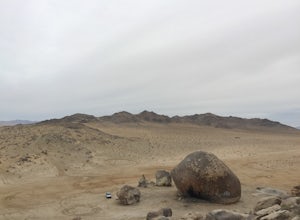
Explore Giant Rock
This is an adventure that my wife and me have been wanting to do for a while now. We finally decided to make the 30 minute journey out to Landers from Yucca Valley. There are quite a few points of interest along the way, but that is a story for another adventure.Giant Rock is 5.2 miles northwest ...Read more -
Desert Hot Springs, California
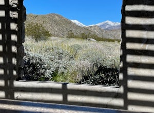
Mission Creek Trail
15.33 mi / 1594 ft gainMission Creek Trail is an out-and-back trail that takes you by a river located near Whitewater, California.Read more -
Hesperia, California
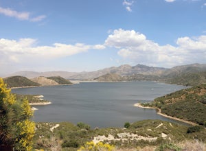
Sawpit Beach
Sawpit Beach, is nestled within the Silverwood Lake State Recreation Area. The beach offers a peaceful respite along the southern shores of Silverwood Lake. With lifeguards on duty during the summer months, families can enjoy a worry-free day of swimming and relaxation. The sandy shores provide t...Read more -
Hesperia, California
Cleghorn Beach and Day Use Area
Nestled at the southwestern edge of Silverwood Lake lies Cleghorn Beach and Day Use Area, a perfect spot for a leisurely afternoon. This family-friendly beach boasts lifeguards on duty during the summer months and offers reservable picnic shelters for your convenience. Unlike other parts of the l...Read more -
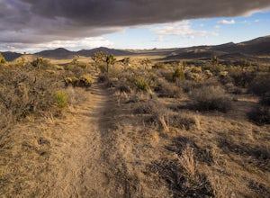
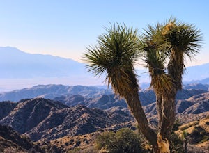
Yucca Valley, California
Backpack the California Riding and Hiking Trail in Joshua Tree
36.97 mi / 2792 ft gainThe starting point for this hike is at the Black Rock campground, 5 miles from the town of Yucca Valley. You'll need to self register for a free backcountry permit before starting. The first section of the trail follows a wash then the trail narrows and, after only a mile or two, you'll begin cl...Read more -
Banning, California
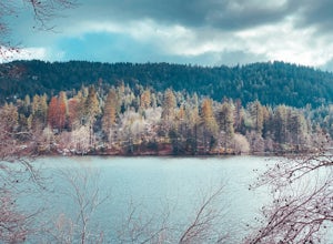
Lake Fulmor Loop Trail
5.00.53 mi / 89 ft gainLake Fulmor is a small lake in the San Jacinto Wilderness near Idyllwild, CA. The trail loops around the lake offering spectacular views and is good for all skill levels. There are picnic tables, grills, and a small dock where you can peer out over the lake or cast a line. To fish in Lake Fulm...Read more -
Palm Springs, California
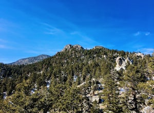
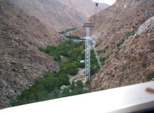
Climb at the Tramway of Mount San Jacinto
John Muir once wrote, "The view from San Jacinto is the most sublime spectacle to be found anywhere on this earth!" So it's no surprise that this is a sought after destination for hikers and climbers alike. Named after the fact that most climbers use the Palm Springs Aerial Tramway to reach this...Read more -
Palm Springs, California
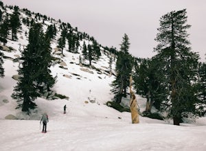
Winter Climb San Jacinto from the Tram
5.08 mi / 2400 ft gainIntermediate: No snow.Advanced: Lots of snow.Expert: Snow w/ high winds and low temps. GPX: https://www.gaiagps.com/datasu... San Jacinto, at 10,834 feet, is the second-highest peak in the Southern California. It's unique in that it has a rotating tram car (think slow motion disco floor) that r...Read more -
Palm Springs, California
Scramble Cornell Peak
3.5 mi / 1000 ft gainEntering Mt San Jacinto State Park via the Palm Springs Aerial Tram is one of the easiest ways to get into the wilderness area. Purchase your ticket and ride to the station where you'll be able to walk out the backdoor and onto the trail. In order to get to Cornell, your route finding skills wil...Read more -
Riverside, California
Hike Two Trees Trail
2.5 mi / 977 ft gainParking is free at the trailhead, but there is only room for approximately five cars. The trailhead is on the edge of a neighborhood, so you can park there if needed. From the parking lot, head west, and immediately veer right and across the bridge. If you go left at the first fork, you can stay ...Read more -
Yucca Valley, California
Eureka Peak
5.00.47 mi / 82 ft gainAccessing Covington Flats in Joshua Tree National Park requires a high ground-clearance overland vehicle. Bring spare water and emergency tools incase of a breakdown. From Route 62 in Yucca Valley, CA take La Contenta Dr. South toward Joshua Tree. This is a backcountry entrance that does not hav...Read more -
Riverside County, California
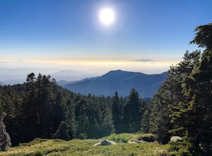
San Jacinto Peak via Marion Mountain Trailhead
11.25 mi / 4505 ft gainSan Jacinto Peak is the second highest peak in Southern California which sits at 10,833'. There are several trails to summit San Jacinto, but Marion Mountain is the shortest but also a tough one. You will start the hike at an elevation of 6300' and continuously climb 4500' in less than 6 miles. ...Read more -
Palm Springs, California
Palm Springs Tram to Idyllwild
5.010.09 mi / 1404 ft gainPalm Springs Tram to Idyllwild is a point-to-point trail where you may see wildflowers located near Palm Springs, California.Read more -
Palm Springs, California
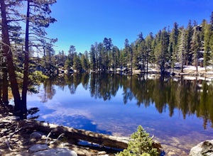
Hidden Lake via Willow Creek Trail
3.35 mi / 518 ft gainHidden Lake via Willow Creek Trail is a loop trail that takes you by a lake located near Palm Springs, California.Read more -
Palm Springs, California
Caramba Overlook
12.97 mi / 2779 ft gainCaramba Overlook is an out-and-back trail that provides a good opportunity to see wildlife located near Palm Springs, California.Read more -
Palm Springs, California
North Lykken Trail from W. Crescent Drive
1.67 mi / 906 ft gainNorth Lykken Trail from W. Crescent Drive is an out-and-back trail that takes you past scenic surroundings located near Palm Springs, California.Read more

