California
Looking for the best backpacking in California? We've got you covered with the top trails, trips, hiking, backpacking, camping and more around California. The detailed guides, photos, and reviews are all submitted by the Outbound community.
Top Backpacking Spots in and near California
-
Mammoth Lakes, California
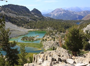
Duck Lake via Duck Pass Trail
4.79.29 mi / 1880 ft gainThe Duck Pass trail in the John Muir Wilderness combines breathtaking views, wildflowers and plenty of icy mountain lakes for swimming into a trail that is moderate in both difficulty and distance. With multiple lakes along the way to pitch your tent and plenty of day hike options from a base cam...Read more -
Junction City, California
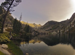
Canyon Creek Lakes
4.314.35 mi / 2605 ft gainNumerous starting points with over 550 miles of trail and easily 50+ different featured trails depending on length and what type of activity you are are looking for. One of the more popular trails, and rightfully so, is Canyon Creek Lakes Trail. This 16 mile roundtrip hike has an overall elevatio...Read more -
Bolinas, California
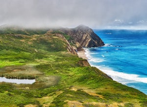
Glen Camp Loop via the Palomarin Trailhead
4.715.72 mi / 3091 ft gainDay 1 Before heading to the trailhead, make sure to stop by the Bear Valley Visitor Center to pick up your permit. To stay overnight in Point Reyes, you must stay at one of the trail camps. Camping anywhere else in the park is not allowed. Permits for the trail camps can be booked up to 6 mo...Read more -
San Diego County, California
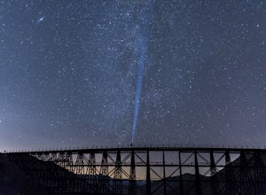
Hike to the Goat Canyon Trestle
5.07 miThe main attraction of this hike is the wooden trestle. This engineering marvel was built in 1932 and still remains the tallest and longest curved wooden trestle in the U.S.This hike is recommended for the physically and mentally prepared. From Mortero Palms, it's a 3.5 mile (7 miles roundtrip) t...Read more -
Los Olivos, California
Backpack Zaca Ridge
5.07.32 mi / 2077 ft gainFrom Santa Ynez, CA take Armour Rd until it hits Happy Canyon Rd, and make a left. Follow this scenic drive through vineyards and oak shaded pastures into the Angeles National Forest. A half-mile section of asphalt is rough from winter storms, so drive slow. The road becomes Sunset Valley Rd and ...Read more -
Santa Barbara County, California
Beach Camp on Santa Rosa Island
5.019.72 mi / 3097 ft gainChannel Islands National Park is California's least visited National Park. If you visit, you will see many unique plants and animals, including a rare native fox species, and Torrey Pines, only found here and in a small grove near San Diego. This adventure is not for the inexperienced. There is ...Read more -
Point Reyes Station, California
Coast Campground via Laguna Trailhead
4.34.02 mi / 633 ft gainThis campground is the closest you can get to staying overnight on Pt. Reyes coastline if you're backpacking in. Once you get there, enjoy the view! The easiest way to get to the camp is from the slightly uphill hike along the Laguna Trail and the Firelane Trail. The trailhead for the Laguna Tra...Read more -
Gilroy, California
Redfern Pond via Hunting Hollow
5.07 mi / 1263 ft gainHenry W. Coe State Park, northern California's largest, provides outdoor enthusiasts with over 89,000 acres of land to explore, as well as 22,000 acres of designated wilderness area. With all of this space, the outdoor adventures are seemingly endless. We recommend a multi-day backpacking trip to...Read more -
Tulare County, California
Jennie Lake via Fox Meadows
4.510.71 mi / 1929 ft gainJennie Lake is a beautiful subalpine lake located in the Jennie Lakes Wilderness just outside of Sequoia National Park. There are no backpacking quota restrictions making this a perfect trip that requires little planning. Your journey starts at the Fox Meadows trailhead on paved Forest Service R...Read more -
Pinecrest, California
Backpack to Bear Lake (Emigrant Wilderness)
4.58.34 mi / 705 ft gainStart by picking up your wilderness permit at the Summit Ranger Station near Pinecrest - (209) 965-3434. There's no quota for this area, so no need for reservations in advance. To reach the trailhead, make your way south from the Ranger Station and turn left onto Crabtree Rd. Drive along this ro...Read more -
Arnold, California
Backpacking to Sword Lake
5.0Getting There Take 108 to Pinecrest Lake to pick up a free backcountry permit at the Summit Ranger Station. (If you reach Strawberry you've gone too far.) Continue past Beardsley Lake to Clark's Fork Road on the left. Cross two bridges and Forest Route 6N06 will take you to the trailhead (County ...Read more -
Big Sur, California
Pine Ridge, North Coast Ridge Loop
2.033.45 mi / 11388 ft gainIf you are looking to do some backpacking in the Big Sur area, you've come to the right place. This post shares a suggested 4-day backpacking loop in the Ventana Wilderness that will offer a bit of everything - challenging hiking with a healthy does of elevation, beautiful primitive camping amon...Read more -
Sequoia National Park, California
Hike Crescent Meadow
4.51.6 miCrescent Meadow is a collection of loops in the Giant Forest in Sequoia National Park. The trailhead is located just past the tunnel log east of General's Highway 198. The main loop is 1.6mi total. However you can take any of the loops to the General Sherman tree 3mi, Tharp's Log trail 0.5mi, or ...Read more -
Point Reyes Station, California
Sky Trail Loop
5.09.55 mi / 1818 ft gainSky Trail in Point Reyes National Seashore is a dramatic, mostly single-track trail that runs along the main spine of the Inverness Ridge and across highest mountains in Point Reyes, looming above the Olema Valley and Highway 1 which mark the San Andreas Fault rift zone and the dividing line betw...Read more -
Fort Jones, California
Sky High Lakes in the Marble Mountains
5.011.88 mi / 2070 ft gainThe Marble Mountains are part of the Klamaths, a biologically and geologically diverse range of peaks and ridges often overshadowed by its western neighbors in the Cascades. The Marble Rim is the signature feature of this subrange, a white wall of rock that glimmers in the sun. The nearby Sky Hig...Read more -
South Lake Tahoe, California
Middle Velma Lake via Eagle Falls Trailhead
4.59.18 mi / 2251 ft gainHiking or backpacking to the Velma Lakes area is a must do if you want to explore and escape the summer crowds of South Tahoe. There are 3 lakes, Upper, Middle, and Lower Velma Lake. The trek out to Middle Velma is 9+ miles roundtrip, but you can add to it depending on how many other lakes you wa...Read more

