Amboy, California
Amboy, California is a must-visit for outdoor adventurers. One of the top attractions is the Amboy Crater Trail, a moderate level hiking trail that offers scenic views of the desert landscape and the extinct Amboy Crater. The trail is 3 miles long and is best used from November until June. Another must-visit is the Bristol Dry Lake, a large salt pan where you can witness the unique process of salt crystallization. For those interested in history, the Route 66 roadside attractions like the Roy's Motel and Café provide a glimpse into the past. These are just some of the best trails and outdoor activities in and near Amboy, making it a great destination for those who enjoy outdoor adventures.
Top Spots in and near Amboy
-
Twentynine Palms, California
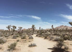
Willow Hole Trail in Joshua Tree National Park
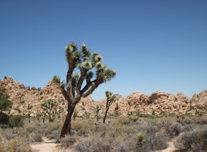
6.8 mi / 341 ft gainThe Willow Hole hike begins at Boy Scout trailhead and winds past and through the Wonderland of Rocks to a marshy stand of willows. The trail is flat, but with little shade so be sure to bring lots of water! As you leave the parking lot you'll enter an expansive stand of Joshua Trees that grows...Read more -
Twentynine Palms, California
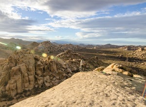
Watch the Sunset from Echo Rock
5.00.5 mi / 200 ft gainPark your car at the Echo Rock Parking Area. The trail starts next to the outhouse and heads north. As you walk through the sand, there is a large rock pile to your right, the top of that is your destination. Continue walking until you've reached the far north end of the rock formation and the...Read more -
Cima, California
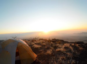
Camp on an Isolated Mesa
From the Hole in the Wall information center, drive north on Black Canyon Road. Table Top is a fairly identifiable mesa to the east. Pick what you think is a suitable approach point and park your car in a dirt pullout. Grab your backpack and make a beeline for the mesa, straight through the dese...Read more -
Riverside County, California
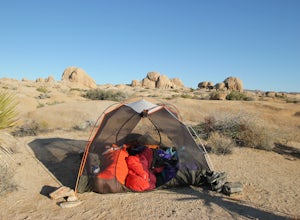
Backcountry Camp in Joshua Tree
5.02 miBackcountry camping can be done at various locations throughout the park (13 different locations). Upon arrival to the park, you will be given a map and can backcountry camp from any of the locations marked with a "B".At these locations you will find a backcountry registration board. It's extrem...Read more -
Twentynine Palms, California
Camp at Hidden Valley in Joshua Tree
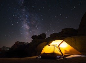
4.8Joshua Tree National Park is known for its world class rock climbing, out of this world landscapes, and some of the darkest skies around. Having a base camp inside of the park is incredibly important as it's quite massive and I found that Hidden Valley Campground is strategically placed smack dab...Read more -
Riverside County, California
Hike Ryan Mountain
4.82.86 mi / 1056 ft gainOne of the most prominent peaks in Joshua Tree National Park in Ryan Mountain. It's centrally located rising to a total of 5,456 feet above the valley floor. The trail to the peak is a moderate hike with a little over 1,000 feet elevation gain with panoramic views of Lost Horse Valley, Queen Vall...Read more -
Riverside County, California
Winter Hike to Ryan Mountain
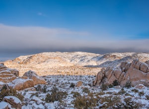
2.86 mi / 1056 ft gainHike starts at the base of Ryan Mountain. The trail runs along side the mountain, offering great views overlooking Joshua Tree. Once you hit the summit, you'll get great panormaic views of the national park as the top of Ryan Mountain is at an elevation of 5457ft. The trail is open during all se...Read more -
Twentynine Palms, California
Climb at Intersection Rock in Joshua Tree
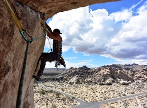
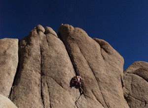
Intersection Rock is located in the Hidden Valley Campground with lots of parking!Overhang bypass route5.72 PitchesStandard Trad RackIntersection Rock has many classic routes- I found right ski track and overhang bypass to be 2 of my favorite routes in j tree.Start left of the flake in a crack, t...Read more -
Twentynine Palms, California
Rock Climb Locomotion in Joshua Tree National Park
5.0Locomotion is a great spot to set up for the day and enjoy the world class climbing that Joshua Tree has to offer. Camp at the nearby and coveted Hidden Valley Campground and you'll be within walking distance to Locomotion and a dozen other quality climbing spots. Joshua Tree really is a camping/...Read more -
Twentynine Palms, California
Climb The Spire in Joshua Tree National Park
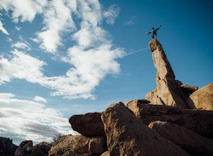
0.75 miPark at the Hidden Valley Nature Trailhead. Instead of going into Hidden Valley, follow the obvious climber's trails to the Southwest for about 3/4 mile keeping the rocks of Hidden Valley on your right. The trail wraps around the outside edge of Hidden Valley, turning Northwest. After about 20 mi...Read more -
Riverside County, California
Hidden Valley Nature Trail
4.41.03 mi / 164 ft gainTurn off of Park Blvd near Intersection Rock (there will be signs for the turn) and follow the paved road for about a minute. There is a large parking lot with many picnic tables. The trail begins with a slight uphill of around 100 ft and continues through a opening between two large rocks. Af...Read more -
Riverside County, California
Climb at the Hall of Horrors in Joshua Tree
The Hall of Horrors is across the road from the well-known Saddle Rocks. There is good space in this crag, so don't be discouraged with a full parking lot. Like most places in Joshua Tree, the weather is the largest dictator on when and where you'll climb. There isn't much shade here, so waiting ...Read more -
Riverside County, California
Hall of Horrors
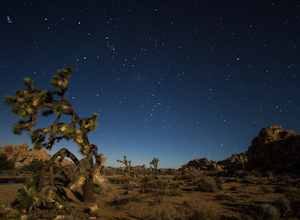
0.75 mi / 95 ft gainA trip to Joshua Tree is an adventure in itself, but if you plan so that you are shooting Joshua Tree under a full moon, you'll lose yourself in its beauty all over again. See the park's gorgeous, unique characteristics in a completely different light. Although there may seem to be infinite loca...Read more -
Riverside County, California
Photograph the Cholla Cactus Gardens
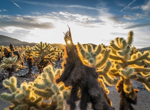
4.40.25 mi / 0 ft gainThe Cholla Cactus Garden is something everyone can appreciate and enjoy. The trail is in total about a 0.25 loop, but you are certainly free to wander around more. Plan on spending at least 30 minutes to an hour enjoying the scenery. If you are a photographer, you will be enthralled by the light...Read more -
San Bernardino County, California
Explore the Mojave Desert Lava Tube
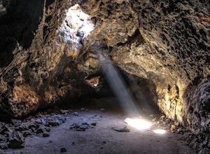
4.70.1 mi / 20 ft gainWhen visiting the Lava Tubes, you must have a full tank of gas, radiator coolant, and a couple gallons of water before you enter the Mojave Desert Preserve! The preserve doesn't offer any services other than the occasional place to fill up on water.From The North: From Baker, CA on Interstate 15,...Read more -
Riverside County, California
Cap Rock Nature Trail
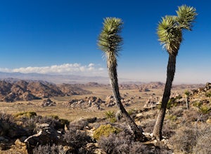
3.00.75 mi / 161 ft gainThere are two Joshua Trees guarding the trail, which makes for a perfect photo op. There are some monzogranite rock formations (of which the park is famous for). Watch for bunnies and lizards! The trail is handicap accessible, so parents with young children in strollers or those in wheelchairs ca...Read more

