Amboy, California
Looking for the best photography in Amboy? We've got you covered with the top trails, trips, hiking, backpacking, camping and more around Amboy. The detailed guides, photos, and reviews are all submitted by the Outbound community.
Top Photography Spots in and near Amboy
-
San Bernardino County, California
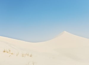
Hike Kelso Dunes
4.5There is no particular route to the top of Kelso Dunes from the trailhead – the wind is constantly moving the sands (and trail) around. Instead, follow the footsteps in the sand, avoid the vegetation, and aim for the tallest peak. It is pretty hard to get lost as you can see the parking lot from ...Read more -
Twentynine Palms, California
Boy Scout's Trail in Joshua Tree
4.516.12 mi / 1539 ft gainThe Boy Scout trail connects the main part of the National Park to the outer rim campground, Indian Cove Campground. All backcountry overnight trips must be registered at a registration board (free, self-registration). Start this trip at the registration board located in either Indian Cove Campgr...Read more -
Landers, California
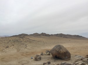
Explore Giant Rock
This is an adventure that my wife and me have been wanting to do for a while now. We finally decided to make the 30 minute journey out to Landers from Yucca Valley. There are quite a few points of interest along the way, but that is a story for another adventure.Giant Rock is 5.2 miles northwest ...Read more -
Twentynine Palms, California
Split Rock Loop
5.01.94 mi / 220 ft gainStarting out at the Split Rock Trail parking lot, you'll see Split Rock, which might be the most visited boulder in the park. Everyone makes a visit to it and while it is absolutely amazing, it's great to take the hour or two to wander around to more amazing scenery. Immediately upon starting t...Read more -
Twentynine Palms, California
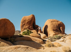
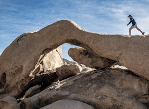
Arch Rock Nature Trail
4.31.24 mi / 92 ft gainThis is a rock formation very popular with young crowds at Joshua Tree. The views from this hike are spectacular. If you hike this trail at sunset, the gorgeous colors of the ski are reflected onto the rocks. There is a plaque along the trail detailing rock formations and facts about the parks ...Read more -
Riverside County, California
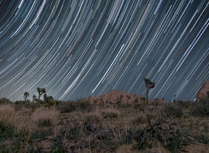
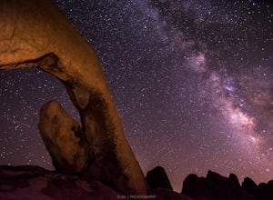
Night Shoot at Arch Rock
4.7If you're setting up camp, be sure to check out White Tank Campground, which is home to one of the most epic rock formations. The Arch is located here. It's only about 1/2 round trip of walking to this spot. Geology Tour Road offers some flat wide open views of Joshua Trees in all directions. If ...Read more -
Riverside County, California
Camp at Joshua Tree's White Tank Campground
5.0White Tank Campground is in the perfect spot to get a taste of all that Joshua Tree has to offer. As a central location to nearby hiking and climbing, it is easy to access the various parts of the park. Removed from the border of the park, White Tank doesn't attract as many visitors as the more p...Read more -
Twentynine Palms, California
Tour Keys Desert Queen Ranch in Joshua Tree National Park
Joshua Tree National Park flawlessly combines otherworldly landscapes, incredible recreational opportunities, and a colorful, wild-west history. Before it was a national park, Joshua Tree was home to cattle rustlers, gunslingers, miners, and rugged homesteaders. One of the most quirky characte...Read more -
Twentynine Palms, California
Skull Rock Trail at Joshua Tree National Park
5.01.7 mi / 131 ft gainYou can park at the Jumbo Rocks Campground to start this quick hike. There are two parking locations for this campground and it will be easiest if you use the first one you see, rather than going farther off the road and right next to the campsites. To start the hike, start going north and immedi...Read more -
Riverside County, California
Camp at Joshua Tree's Jumbo Rocks
4.8Set your tent up next to a wall of tall boulders. This campground can offer a little shade, which is key especially during the warmer months. At the campground, there are 124 first-come, first-serve sites for $10 per night. Each campsite comes available with a picnic table and fire ring. The camp...Read more -
Riverside County, California
Hike the Barker Dam
1.28 mi / 85 ft gainThe Barker Damn trail is a 1.5 mile loop trail across flat terrain which makes it great for the whole family. The hike starts out from the Barker Dam parking lot which is shared with the Wall Street Mill trailhead. You can find the Barker Dam trailhead just to the left of the bathrooms. After ...Read more -
Riverside County, California
Wall Street Mill
4.02.43 mi / 131 ft gainHike along the easy Wall Street Mill Trail for about one mile and you will reach the mill - if you are into night photography, this is an amazing subject that will bring you back again and again, always capturing something different. Explore around off trail - there are tons of boulders to play a...Read more -
Twentynine Palms, California
Willow Hole Trail in Joshua Tree National Park
6.8 mi / 341 ft gainThe Willow Hole hike begins at Boy Scout trailhead and winds past and through the Wonderland of Rocks to a marshy stand of willows. The trail is flat, but with little shade so be sure to bring lots of water! As you leave the parking lot you'll enter an expansive stand of Joshua Trees that grows...Read more -
Twentynine Palms, California
Watch the Sunset from Echo Rock
5.00.5 mi / 200 ft gainPark your car at the Echo Rock Parking Area. The trail starts next to the outhouse and heads north. As you walk through the sand, there is a large rock pile to your right, the top of that is your destination. Continue walking until you've reached the far north end of the rock formation and the...Read more -
Cima, California
Camp on an Isolated Mesa
From the Hole in the Wall information center, drive north on Black Canyon Road. Table Top is a fairly identifiable mesa to the east. Pick what you think is a suitable approach point and park your car in a dirt pullout. Grab your backpack and make a beeline for the mesa, straight through the dese...Read more -
Riverside County, California
Backcountry Camp in Joshua Tree
5.02 miBackcountry camping can be done at various locations throughout the park (13 different locations). Upon arrival to the park, you will be given a map and can backcountry camp from any of the locations marked with a "B".At these locations you will find a backcountry registration board. It's extrem...Read more

