Alamo, California
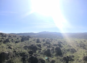
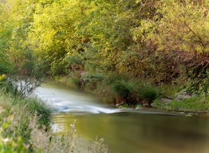
The best trails and outdoor activities in Alamo, California, offer a variety of scenic and must-visit locations. One of the top choices is the Iron Horse Regional Trail, a popular hiking and biking path that stretches over 32 miles, passing through Alamo and connecting two counties. It's an easy to moderate trail with a flat, paved surface, making it accessible for all fitness levels. The trail offers views of the surrounding hills, creeks, and local wildlife. Another must-visit is Mount Diablo State Park, located near Alamo. This park offers challenging hikes with panoramic views, unique rock formations, and a variety of flora and fauna. Both locations offer great outdoor adventures for those seeking to enjoy Alamo's natural beauty.
Top Spots in and near Alamo
-
Saratoga, California
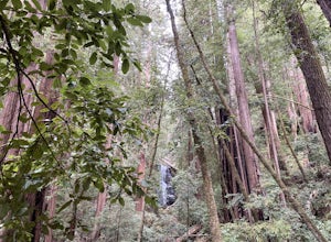
Skyline-to-the-Sea Trail
4.530.8 miWant to experience one of the bay area's most memorable backpacking trips? We've got the details to get you out on the trail. To start the trek, drop your car at the Castle Rock State Park Parking Lot, which is located ~2.5 miles south of the junctions of Highways 35 and 9 off of Highway 35. Not...Read more -
Saratoga, California
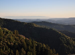
Backpack Castle Rock State Park
4.7Castle Rock Trail Camp has a different policy than other backcountry camps in the area (i.e. campsites along Skyline to the Sea). This campground is open all year and is available on a first come, first served basis. If you can, grab a spot a Frog Flat Camp. To get to the camp, park your car at t...Read more -
Los Gatos, California
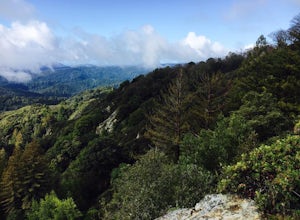
Hike the Saratoga Gap Trail
4.64.7 miThe Saratoga Gap Trail is relatively lightly trafficked trail that is good year round, although waterfalls peak in late winter and spring. Overall, this 4.7 mile partial loop hike is moderate, with about 1000 feet in elevation change. Trailhead elevation is about 3090 feet. The featured hike desc...Read more -
Galt, California
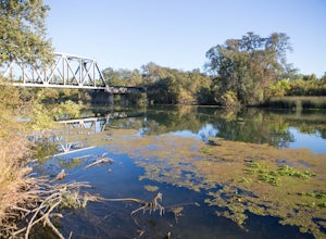
Hike the Cosumnes River Walk Trail
3.1 mi / 16 ft gainThis trail is a short, easy, accessible and beautiful trail for a nice afternoon walk (or photoshoot). I recommend the River Walk Trail (~3 miles). It is flat and easy to walk. There are multiple loops so you can turn back at any time. There are small bridges, access to the water, meadows, e...Read more -
Point Reyes Station, California
Bear Valley to Coast Camp Loop
5.016.18 mi / 2818 ft gainPermit and Trail Camp Info To stay overnight in Point Reyes, you must stay at one of the Trail Camps. Camping anywhere else in the park is not allowed. Permits for the Trail Camps can be booked up to 6 months in advance. If you are looking to go on a weekend, then you'll want to start loo...Read more -
Glen Ellen, California
Corridor Ridge Loop Trail
4.02.48 mi / 289 ft gainCorridor Ridge Loop Trail is a loop trail where you may see wildflowers located near Glen Ellen, California.Read more -
Glen Ellen, California
Sonoma Ridge Trail
9.2 mi / 1955 ft gainSonoma Ridge Trail is a beautiful 9.2-mile out-and-back hike located near Glen Ellen, California. This hike is moderately difficult, with about 1955 feet in elevation change. 95% of the trail is covered in forest shade. Important Notes:Bikes and Horses are permitted on the trails. Dogs are NOT p...Read more -
San Jose, California
Hike the Quicksilver Trail
4.35.1 mi / 915 ft gainThe trails are well maintained and offer good visibility. The trail can be muddy after it rains, and does not have much shade (so bring extra water in the summer). Dogs are allowed on this trail but must be kept on leash. Keep your eyes peeled for wildlife - this trail is frequently used for bir...Read more -
Glen Ellen, California
Wolf House in Jack London SP
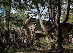
There is a museum in "The House of Happy Walls" which Mrs. London built in redwood grove find park information, exhibits and a small sales area there. A nearby trail leads to Jack London’s grave and to the remains of "Wolf House," London’s dream house which was destroyed by fire in 1913. The par...Read more -
San Jose, California
Explore Santa Teresa County Park
4.58.3 mi / 2053 ft gainThe Santa Teresa County Park loop is perfect for wildlife viewing! Be ready to see deer, coyote, hawks, turkeys, pigs and cows. The trail is rated as moderate - be cautious with mud if you are visiting the park after a rain shower. Dogs are allowed in the park, but must be kept on leash. There i...Read more -
Winters, California
Homestead & Blue Ridge Loop
5.04.46 mi / 1299 ft gainAt the bend in the road on Highway 128, you will pass two silver gates. The gate with the UC Davis logo is the entrance to the trailhead. Past the entrance there is a large dirt pullout off the road with plenty of parking. Starting at the trailhead, go left in the fork to start the loop trail. T...Read more -
Winters, California
Hike the Stebbins Cold Canyon Loop
4.04.5 mi / 350 ft gainStebbins Cold Canyon is a great day hike for all skill levels, accessible year round, and offers an abundance of wild flower viewing, including the California poppy. Tog get to the hike, head about 8 miles west of Winters, CA, where a silver fire gate marks the main entrance to the Stebbins Cold ...Read more -
Winters, California
Hike the Homestead-Blue Ridge Loop
5.0From the official trailhead, start off by taking the Homestead Trail, which forks towards the right. A trail connecting Homestead and Blue Ridge will take you to a creek nearby. Veer off the trail along the creek and there is a water hole for cooling off on hot days. Onward into the trail, you wi...Read more -
Winters, California
Fly Fishing on the Putah
4.0Putah Creek is a little over an hour drive from SF without traffic. The creek has flows beginning in April, which can reach up to 700cfs during the summer months. The creek begins to drop after September. Keep in mind that wet-wading isn't recommended until the river is under 300cfs. Most fly fis...Read more -
Point Reyes Station, California
Sky Trail Loop
5.09.55 mi / 1818 ft gainSky Trail in Point Reyes National Seashore is a dramatic, mostly single-track trail that runs along the main spine of the Inverness Ridge and across highest mountains in Point Reyes, looming above the Olema Valley and Highway 1 which mark the San Andreas Fault rift zone and the dividing line betw...Read more -
Point Reyes Station, California
Sky Campground via Sky Trail
2.66 mi / 495 ft gainEntering Point Reyes National Seashore from Bear Valley Road the Sky Trailhead is a 4.9 mile drive. Camping in Sky Camp requires a Camping Permit. Once at the Sky Trailhead parking lot. The Sky Trailhead will be on the left side pulling in. The hike is not very strenuous and not all that lo...Read more

