Harriet, Arkansas
Looking for the best photography in Harriet? We've got you covered with the top trails, trips, hiking, backpacking, camping and more around Harriet. The detailed guides, photos, and reviews are all submitted by the Outbound community.
Top Photography Spots in and near Harriet
-
Hagarville, Arkansas
Pam's Grotto Trail
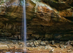
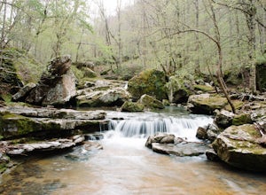
4.00.92 mi / 384 ft gainGetting to this trailhead is the most difficult part. The small parking area/campground is located about a half mile east of the Haw Creek Falls Campground. You will see a pull off on the east side of the road where you can park your car. Once you are ready to hit the trail you will cross the ro...Read more -
Jasper, Arkansas
Buffalo River Trail: Ponca to Steel Creek
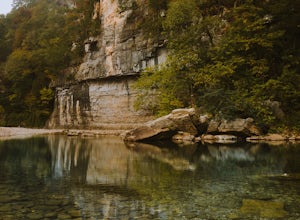
4.35 mi / 1079 ft gainStart this adventure by crossing the Ponca Low Water Bridge over the beautiful Buffalo National River and proceed up the path till you reach the trail sign on the other side. You have the option of going either right or left at this point, follow the sign to the left and you will see a gate (sim...Read more -
Compton, Arkansas
Hike to Scenic Big Bluff
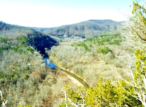
5.06 miThe hike starts at the Centerpoint Trailhead and follows a clearly defined trail for 3 miles (approximately one hour) with mostly downhill or flat terrain and views through the trees of the rolling Ozark landscape. When you are almost to Big Bluff, the trail opens up into a large round area with ...Read more -
Compton, Arkansas
Big Bluff via the Centerpoint Trailhead
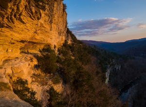
4.96.21 mi / 991 ft gainThis adventure begins at the Counterpoint Trailhead just north of Ponca, AR. Follow the trail downhill for about 2.7 miles until you reach a split in the trail. Take the trail off to the right and follow it for another .5 miles until you reach the Big Bluff area. There is a lot of area to expl...Read more -
Kingston, Arkansas
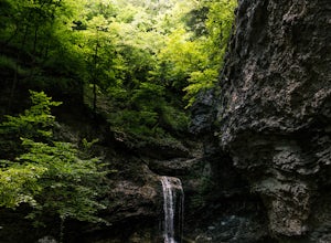
Eden Falls via Lost Valley Trail
4.92.32 mi / 453 ft gainThis is a beautiful trail that is easily accessible and only a short 3 mile hike. Start at the trailhead on the north end of the parking area. There is a map and some details about the main features of the trail. The first main feature that you come to on the trail is a beautiful bluff with a ...Read more -
Batesville, Arkansas
Climb at Jamestown Crag
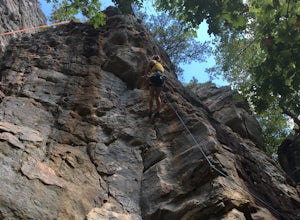
5.0Jamestown Crag is just a few minutes south of Batesville and is one of the largest, most exposed areas of Atoka sandstone in Northeast Arkansas. There are 70+ well bolted sport routes ranging in difficulty from 5.5 to 5.13. The crag offers many top rope and lead routes, the tallest of which being...Read more -
Kingston, Arkansas
Hike Big Spring Trail
5.5 mi / 500 ft gainBig Spring Trail is located in Smith Creek Preserve just south of Boxley, Arkansas. There is a small parking area at the entrance. Detailed maps of the area provided by The Nature Conservancy can be found just past gate. Walk through the gate and begin your hike with a steady decline down the s...Read more -
Jefferson Township, Arkansas
Hike the Glory Hole Falls Trail
4.42 mi / 345 ft gainThis trail and waterfall is located 13.8 miles south of Boxley, AR or 5.7 miles east of Fallsville, AR. The easiest way to get to the trailhead is to locate the Cassville Baptist Church on your GPS system. If you are headed east, the church is 0.7 miles east of the trail. If you are headed west, ...Read more

