Young, Arizona
Looking for the best hiking in Young? We've got you covered with the top trails, trips, hiking, backpacking, camping and more around Young. The detailed guides, photos, and reviews are all submitted by the Outbound community.
Top Hiking Spots in and near Young
-
Payson, Arizona
Cabin Loop Trail
18.82 mi / 2028 ft gainPeople think Arizona is all just desert, but this hike will show you otherwise. Up on the Mogollon Rim, this trail takes you past old cabins, through lush forest, and near many creeks. Day 1: (10 miles) Drive on Rim Road to the General Springs Trail Head. The cabin marks the start of the tr...Read more -
Tonto Basin, Arizona
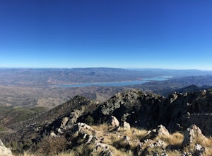
Hike to Brown's Peak
5.06 mi / 1957 ft gainStarting at the trailhead you will begin hiking through oak trees and forest. At numerous times throughout the hike Roosevelt Lake can be seen to the northwest. Approximately 3 miles into your hike you will reach a small campsite in the saddle of the mountain. This is your turnaround point if you...Read more -
Pine, Arizona
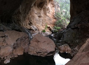
Hike the Pine Creek Loop in Tonto Natural Bridge SP
4.71.8 mi / 300 ft gainThere is a fee to enter this area. It was $7 when we went. There are 4 trails with many viewpoints from the parking lot, all of which are out and back. We followed the recommendation of the ranger working at the visitor's center and took the Gowan Trail down to the observation deck located in the...Read more -
Happy Jack, Arizona
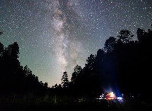
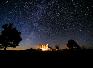
Car Camp the Mogollon Rim
4.8The Mogollon Rim is part of the Colorado Plateau in eastern Arizona above Payson. The rim stretches across the Coconino National Forest and at some parts drops off nearly 2,000ft. This area is ideal for over-night car-camping. The expansive vistas above thousands of acres of national forest land ...Read more -
Show Low, Arizona
Hike the Show Low Bluff Trail
5.01.5 mi / 76 ft gainBuilt in 2012, this loop is part of the white mountain trail system and you may park directly at the trailhead. A paved walking path starts at the trailhead and leads you to a bridge that provides a beautiful view of Show Low Creek and the surrounding meadow. After crossing the bridge, you will e...Read more -
Navajo County, Arizona
Blue Ridge Cave Trail
6.8 mi / 554 ft gainRight off Arizona Highway 260 at Porter Mountain Rd., you'll find this easy out-and-back hike that will wind you past Scott Reservoir to an ancient lava tube cave. To access the trailhead, take Porter Mountain Rd. for one mile off Highway 260, the parking area is easily visible about 0.1 mi past...Read more -
Rogers Trough Trailhead, Arizona
Hike Rogers Canyon Trail
5.08 mi / 1108 ft gainThe Superstition Wilderness is a vast rugged landscape where you can find the cultural remains of ancient Hohokam, Salado, Apache, and Yavapais tribes. Rogers Canyon Trail takes you to one of the most impressive and best preserved archaeological sites this region has to offer. These Salado ruin...Read more

