Tempe, Arizona
Top Spots in and near Tempe
-
Scottsdale, Arizona
Climb Brusin' and Crusin' on Gardner's Wall
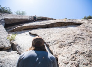
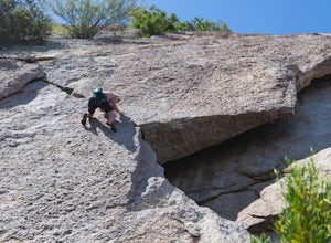
This is a 100 foot 5.8 trad climb. Access the Hanging Garden's climbing area off of the Tom's Thumb Trail. About half way up the trail you will see signage for "Rock Climbing Access Route." On the sign you will see an arrow pointing towards Gardner's Wall. This is the direction you want to take. ...Read more -
Scottsdale, Arizona
Climb Girlie Man Near Tom's Thumb
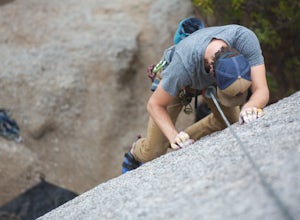
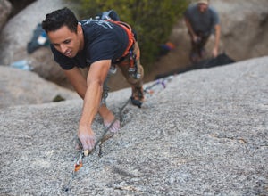
5.9+ 3 bolt slab. About 65ft. To get there you will start on the Tom's Thumb Trail for about .1 mi. Then take the Mesquite canyon trail left (SE) for .2mi. It will connect with the Feldspar trail. Turn left (E) and continue on until you see the climber access sign. Continue on the well marked tra...Read more -
Scottsdale, Arizona
Climb Hanging Garden's on Gardner's Wall
This is a 2 pitch 5.6 trad climb. About 130 feet in total. Access the Hanging Garden's climbing area off of the Tom's Thumb Trail. About half way up the trail you will see signage for "Rock Climbing Access Route." On the sign you will see an arrow pointing towards Gardner's Wall. This is the dire...Read more -
Scottsdale, Arizona
Climb Sphincter Boy Near Tom's Thumb
5.9 trad route. About 60ft. Can be set up as a Top Rope. To get there you will start on the Tom's Thumb Trail for about .1 mi. Then take the Mesquite canyon trail left (SE) for .2mi. It will connect with the Feldspar trail. Turn left (E) and continue on until you see the climber access sign. Cont...Read more -
Queen Creek, Arizona
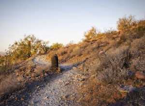
Hike the Dynamite and Goldmine Loop
5.04.7 mi / 773 ft gainThis trail is a moderately-rated hike. It is used for a variety of activities including hiking, mountain biking, running, and walking. To access the trail, it is important to note that there is a $7 cash parking fee, so be prepared! The beginning of the trail is the most challenging part as it ...Read more -
Maricopa County, Arizona
Hike the Goldfield Ovens Loop
7.5 mi / 575 ft gainA Tonto Day Pass is required for this hike as you will park your vehicle at the Blue Point Picnic Area. The trail starts North of the restrooms which are located at the backside of the parking lot. The trail takes you through a mesquite filled area alongside large rock faces. Be sure too look for...Read more -
Scottsdale, Arizona
Bike the Pemberton Loop in McDowell Mountain Park
15.4 miThis is a 15.4 mile loop that has 879 feet of elevation gain and descent. We took this trail clockwise. The trail is very well marked and maintained. It starts out flat from the parking lot. Once you have made it across the road it begins to climb. You continue with a gradual climb until you've g...Read more -
Scottsdale, Arizona
Pinnacle Peak Trail
4.43.87 mi / 896 ft gainPinnacle Peak is a 3.8 mile out-and-back hike along a beautifully groomed trail with a moderate gain of ~1,000ft. This distinctive 600ft granite summit can be seen from most of the surrounding valley and offers spectacular views of the McDowell Mountains, iconic Four Peaks, Granite Mountain and t...Read more -
Scottsdale, Arizona
Pima and Dynamite Loop
5.050.27 mi / 2136 ft gainPima and Dynamite Loop is a loop trail that provides a good opportunity to view wildlife located near Scottsdale, Arizona.Read more -
Mesa, Arizona
Kayak the Lower Salt River
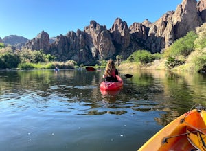
5.0It's not an Arizona summer without time spent on the Salt River! And there's no better way than by kayak. Summertime on the Lower Salt is full of people, mostly in tubes and on SUP's. Getting on the river in the early hours of the morning help avoid some of the crowds. The best launch point by...Read more -
Mesa, Arizona
Horseback Ride in the Sonoran Desert
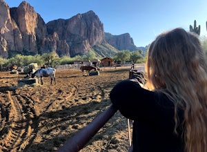
5.0This picturesque location is truly unique; featuring Saguaro Lake, the spectacular Bulldog Cliffs and the Salt River winds through the Ranch property, and you’re able to experience it all on horseback. What I loved most is that the horses were well cared for, the handlers obviously adored the ani...Read more -
Scottsdale, Arizona
Upper Ranch and Brown's Ranch Road Trail
3.98 mi / 154 ft gainUpper Ranch and Brown's Ranch Road Trail is a loop trail where you may see wildflowers located near Scottsdale, Arizona.Read more -
Apache Junction, Arizona
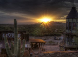
Catch a Sunset at Goldfield Ranch
4.0Although a tourist trap, Goldfield Ghost Town is a place any visitor might like stopping for a little food and a drink if they're hiking in the Superstition Mountains at the nearby Lost Dutchman State Park. It's certainly a place that has plentiful opportunities for some photography.While there y...Read more -
Apache Junction, Arizona
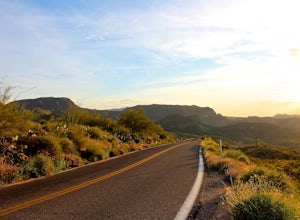
Drive Through The Apache Trail
4.8Its about a 40 minute drive to the beginning of the trail from Phoenix, and the trail itself is close to a two hour drive, if you don't plan on stopping along the way. The beginning of the trail really begins at the Superstition Mountains, you'll see a sign that says you are entering the Tonto Na...Read more -
Glendale, Arizona
Run at Thunderbird Park
5.02 mi / 475 ft gainThis is a great spot to go for a quick run or a short hike if you're in North Phoenix. Thunderbird park is easily accessible with free entry and a number of picnic areas.There are 3 main hills with a variety of trail options to hike up/around each. From the top you'll find a nice view of valley...Read more -
Apache Junction, Arizona
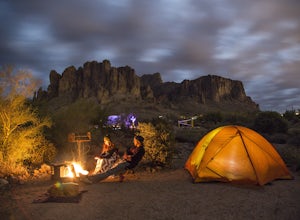
Camp at Lost Dutchman State Park
4.8Lost Dutchman State Park is located near the Superstition Mountains in central Phoenix, about 40 miles from Phoenix. There is a $7 day use fee to enter the park, which is waived if you’re camping ($15/night). The park offers 134 campsites, each with a picnic table, barbeque grill, and fire pit, a...Read more

