Grand Canyon National Park, Arizona
Looking for the best hiking in Grand Canyon National Park? We've got you covered with the top trails, trips, hiking, backpacking, camping and more around Grand Canyon National Park. The detailed guides, photos, and reviews are all submitted by the Outbound community.
Top Hiking Spots in and near Grand Canyon National Park
-
North Rim, Arizona
Grand Canyon: Rim-to-Rim-to-Rim
4.745.6 mi / 10141 ft gainDay 1 Start at the North Rim of Grand Canyon National Park at the North Kaibab Trail. You have 14 miles and 5,761 feet of elevation to descend to the Bright Angel Campground, so bring those trekking poles if you have bad knees (like myself). Along the North Kaibab Trail a few noteworthy trail m...Read more -
North Rim, Arizona
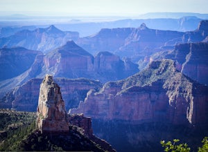
Point Sublime
5.034.27 mi / 3878 ft gainIts name says it all; this panoramic viewpoint at the north rim of the Grand Canyon is sublime: of such excellence, grandeur, or beauty as to inspire great admiration or awe. For newcomers to the Grand Canyon, this view might just leave you speechless! A relatively few people get to experience P...Read more -
36.122218,-111.949399
Sunset Hike the Cape Royal Trail
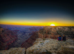
0.8 miThis is a very easy "hike" at the North Rim of the Grand Canyon. The drive itself is a little long and winding (keep your eye out for deer that bolt across the narrow road, especially at night), but the easy walk that takes you through a plethora of marked, detailed desert life completed by the ...Read more -
Grand Canyon Village, Arizona
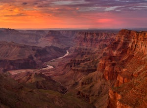
Hike to the Grand Canyon's Sunset Nook
5.0While the Grand Canyon is full of spectacular views, one particular spot has always been a favorite due to the relatively easy access and the ability to separate from all of the action. To access the sunset nook, start at the Grandview Trailhead at the South Rim (a 16 minute drive from the main V...Read more -
North Rim, Arizona
Hike Point Imperial Trail
5.38 miPoint Imperial is the highest point in the Grand Canyon, lying in the North Rim, at 8800ft and offering incredible views of staggered mountains. The trail itself is relatively easy. If you're not acclimated to the elevation you'll feel short of breath, but beyond that it mostly takes you through...Read more -
Grand Canyon Village, Arizona
Backpack the Tanner Trail in Grand Canyon National Park
18 mi / 4900 ft gainThe trip requires a backcountry permit for zone BB9 (reserve HERE). Backcountry permits in Grand Canyon National Park are available for reservation on the 1st of the month 4 months prior to your trip date (e.g. if you wanted to go on a trip on May 20 you could reserve your permit on January 1st)....Read more -
GRAND CANYON, Arizona
Capturing the Monsoons in Grand Canyon NP
5.0Being in the right place at the right time is the biggest challenge when attempting to photograph the monsoons at the Grand Canyon. Paying careful attention to the weather patterns throughout the day can help, but your best bet is to watch the clouds, pick a viewpoint, and take your chances. A fe...Read more -
GRAND CANYON, Arizona
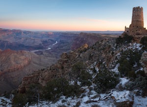
Photograph Desert View Watchtower
5.0Desert View Watchtower is a 70-foot high stone tower located on the South Rim of the Grand Canyon. Once you cross into the park through the east entrance look for the sign for Desert View, it's the first real lookout point in the park and there is plenty of parking.The tower was constructed in th...Read more -
North Rim, Arizona
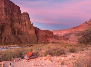
Hike and Camp at Nankoweap Granaries
5.02 mi / 700 ft gainHiking to the Nankoweap Granaries can be done in a few ways but the two most popular routes is by boat along the Colorado River or the unmaintained Nankoweap trail, which is considered by most and the park services the most difficult named trail. Nankoweap Creek drains into the Colorado creating ...Read more -
North Rim, Arizona
Thunder River Loop
24 mi / 7234 ft gainConsidered one of the canyon’s most challenging and awe-inspiring paths, the loop is a must for people looking for hard-earned big rewards. Jaw-dropping vistas, tumbling waterfalls, towering rock walls, ancient fossils and the mighty Colorado create an incomparable backcountry experience.You star...Read more -
Supai, Arizona
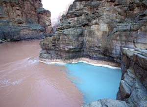
Confluence of the Colorado River and Havasu Creek
5.016.62 mi / 4199 ft gainHike: Starting from the Havasupai campgrounds, which is a 10 mile hike in itself from Hualapai Hilltop, the trail goes past Mooney Falls to Beaver Creek for 4 miles. The elevation gain is limited but makes up for difficulty with route finding. Getting to Beaver Falls will require creek crossings ...Read more -
Supai, Arizona
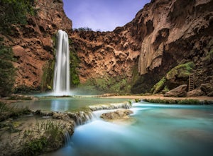
Havasu Falls in the Havasupai Reservation
4.710.4 mi / 1647 ft gainThe Havasupai Reservation is a remote area just outside Grand Canyon National Park, full of blue-green water and dramatic waterfalls. Despite being an extremely isolated location, camping in the canyon is overwhelmingly popular and reservations are required. On popular weekends you will be shari...Read more -
Supai, Arizona
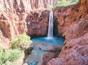
Mooney Falls
4.81.36 mi / 200 ft gainIf you hike to Havasupai and stop at Havasu Falls, you will have missed the grandest of the waterfalls in the Grand Canyon: Mooney Falls. The hike to Mooney Falls is not only scenic, but getting to the idyllic pool at its base of this 200-foot falls is an adventure, requiring you to use chains an...Read more -
Supai, Arizona
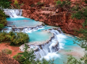
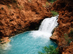
Beaver Falls
5.05.28 mi / 1200 ft gainSo you've made it down to the Havasu campground after a ten mile hike from Hualapai Hilltop - time for more hiking! The 8 mile (RT) trek to Beaver Falls is well worth the trip, and can offer some quieter moments for those looking to escape the busyness of Havasu and Mooney Falls. To start out, h...Read more -
Supai, Arizona
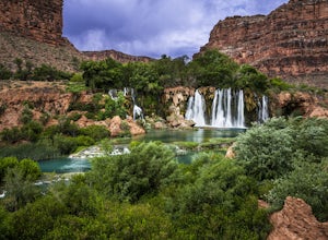
Navajo Falls
4.01.4 mi / 249 ft gainNavajo Falls Navajo Falls was created by a flash flood that tore through Havasu Canyon in August of 2008, altering the course of Havasu Creek. Visitors can reach these and other nearby falls via horseback, helicopter, or hiking from Supai Village. It is a relatively short hike from camp (just o...Read more -
Supai, Arizona
Hidden Falls in the Havasupai Reservation
5.01.25 mi / 233 ft gainComing from the campground, you'll want to backtrack back towards Navajo and Fifty Foot falls, crossing the bridge that you came over coming into the campground. Continue on the trail until you see a picnic table with a small canopy with a big piece of tarp/burlap hanging from the front. Go past ...Read more

