Crown King, Arizona
Looking for the best running in Crown King? We've got you covered with the top trails, trips, hiking, backpacking, camping and more around Crown King. The detailed guides, photos, and reviews are all submitted by the Outbound community.
Top Running Spots in and near Crown King
-
Waddell, Arizona
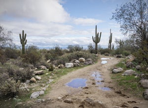
Hike Goat Camp Trail
16 miThis is one of the less traveled trails in White Tank Mountain Regional Park. If you're looking for a solid day hike in the west valley, try this one. It isn't a loop, but it ultimately connects with some of the other long trails so if you're up for a long hike, you have options. This starts f...Read more -
Scottsdale, Arizona
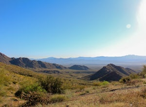
Hike Bell's Pass
7.3 mi / 1700 ft gainStarting at 1800 ft elevation, the trail begins at Gateway Loop. This part of the trail will start off pretty flat and be more crowded than Bell's Pass depending on the day and time you are hiking. If you enjoy running this would be the time to do it before you reach Bell's Pass and the incline i...Read more -
Phoenix, Arizona
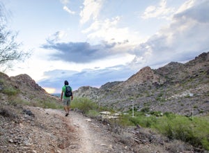
Mojave Trail #200
4.51.88 mi / 430 ft gainThe entrance for the Piestewa Peak area is located at 2701 E. Squaw Peak Drive. The Mojave Picnic Area & Trailhead is the first parking area on the right. This is a very popular trail when the outside temps drop a bit so get there early for sunset hikes to ease parking. The trail begins on t...Read more -
Phoenix, Arizona
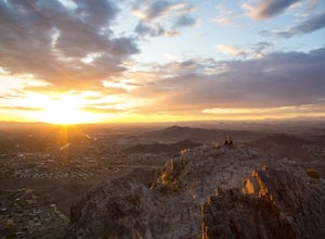
Piestewa Peak Summit
4.42.25 mi / 1050 ft gainPiestewa Peak, formerly known as Squaw Peak and conveniently located in the heart of the Phoenix metropolitan area, is a relatively short hike that yields impressive views of the city and is a perfect spot to watch the sunset. Piestewa Peak is a popular spot for locals who do not want to drive or...Read more -
Phoenix, Arizona
Mojave Connector Trail #202
2.18 mi / 820 ft gainThe best starting point to access this hike is parking at the Mojave Picnic Area and heading up the Mojave Trail #200. At .4 miles, you will hit the junction and stating point for the Mojave Connector Trail. Head left at the saddle and begin a rapid ascent up switchbacks to a small flattened summ...Read more -
Phoenix, Arizona
Ruth Hamilton Trail
3.32 mi / 981 ft gainRuth Hamilton Trail is an out-and-back trail where you may see beautiful wildflowers located near Phoenix, Arizona.Read more -
Phoenix, Arizona
Quartz Ridge Trail
4.52.29 mi / 509 ft gainQuartz Ridge in the Phoenix Mountain Preserve (also known as Trail 8A) is a great escape getaway trail that can be done as a single track or combined with many intersecting trails. It is a very popular trail for hikers, trail runners, pet walkers, sky gawkers and more! The trailhead sits in a sm...Read more -
Phoenix, Arizona
Echo Canyon Trail on Camelback Mountain
4.52.46 mi / 1214 ft gainIf you live near or around Phoenix, you know that Camelback Mountain is pretty hard to miss. Due to the mountain's height, this hike isn't exactly what you would call easy. There are two sides of the mountain you can hike, Echo Canyon and Cholla Trail. Echo Canyon is shorter, but still an extreme...Read more -
Yavapai County, Arizona
Bell Trail
7.12 mi / 591 ft gainBell Trail is an out-and-back trail that takes you by a river located near Rimrock, Arizona.Read more -
Scottsdale, Arizona
Sunrise Trail to Sunrise Peak
4.83.73 mi / 1037 ft gainSunrise Peak, also known as Sunrise Trail, is located at the residential foothills of the McDowell Mountains in Scottsdale, Arizona. The trail will start next to a residential neighborhood, but after about a quarter mile you'll be immersed in the pristine Sonoran Desert. The trail will lead you t...Read more -
Buckeye, Arizona
Hike Valley Vista from Turnbuckle Trail
5.02 miThe Valley Vista trail is a short hike in Skyline Regional Park, located in the southern region of the White Tank Mountains west of Phoenix. From the top you'll have a great view of the Estrella Mountain Range and the southwest valley. For the most direct route, take the Turnbuckle trail. This...Read more

