Black Canyon City, Arizona
Top Spots in and near Black Canyon City
-
Pine, Arizona
4.8
2.42 mi
/ 328 ft gain
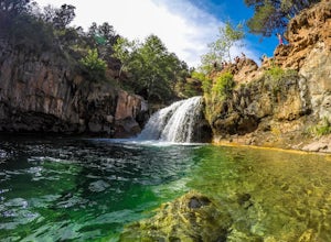
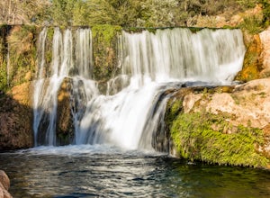
The journey is definitely worth it! Don't let the description discourage you from visiting here. This is simply to help you be prepared so that you can enjoy this wonderful place as safely as possible!
Fossil Creek Rd can only be accessed from Camp Verde via FH 9 (Hwy 260) and FR 708 due to road...
Read more
-
Prescott, Arizona
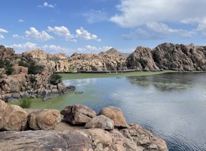
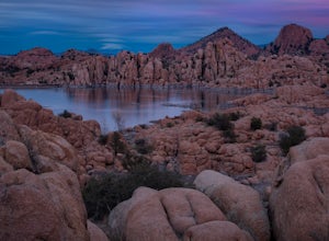
The Watson Lake and Flume Trail is a 4.5 mile loop hike that takes you next to Watson Lake near Prescott, AZ. This trail also makes for a great workout if you throw on your running shoes. Keep in mind there is no shade, so pack water and sunscreen accordingly.
Thinking about getting on the wate...
Read more
-
Waddell, Arizona
This is a great place to begin your hike in the White Tank Mountains. From the Ramada Way area, the trail begins to lead steadily into a small canyon. As you get further up, the trail will begin get more steep. After a short time it leads up to the first saddle and wraps around a ridge and bec...
Read more
-
Waddell, Arizona
So to fully enjoy the theme of this hike, make sure to try and go right after a rain. But also know that since this is a pretty easy hike, you will won't be the only one there. This is also a great hike/ waterfall to do with someone that is new to desert hiking, since it is relatively easy and th...
Read more
-
Prescott, Arizona
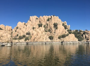
Camping sites are only available in the summer months but the park is explorable year round! Watson Lake is a very unique place, in a state primarily made up of sandstone lies a lake surrounded by uniquely shaped Granite Boulders, excellent for hiking, rock climbing and photographing! Be sure to ...
Read more
-
Prescott, Arizona
Watson lake is relatively small so it makes a great place for beginners to kayak. One end of the lake is surrounded by large granite dells. Depending on the water levels you can kayak around and in between many of them. We kayaked around for about 2 hours before we felt like we had seen everythin...
Read more
-
Phoenix, Arizona
4.5
2.46 mi
/ 1214 ft gain
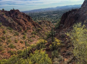
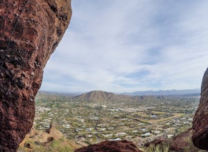
If you live near or around Phoenix, you know that Camelback Mountain is pretty hard to miss. Due to the mountain's height, this hike isn't exactly what you would call easy. There are two sides of the mountain you can hike, Echo Canyon and Cholla Trail. Echo Canyon is shorter, but still an extreme...
Read more
-
Phoenix, Arizona
Park at the Echo Canyon Parking Area.From the trailhead, hike up Echo trail until your reach the saddle. At the saddle, you will turn south and start taking the climbers trail to the headwall, which is just past the sign that says "caution, active bee area." Once you reach the headwall, there a...
Read more
-
Phoenix, Arizona
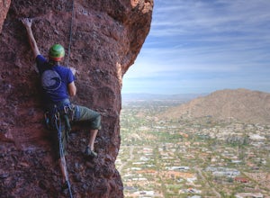
5.6 Sport climb, up an 80 foot face, 9 bolts to the top.
This was the first outdoor climb for myself. It opened the doors to getting out of the gym and becoming a part of the local climbing community. I highly recommend it, as it is not too difficult, and can be done with a group of people.
The...
Read more
-
Scottsdale, Arizona
4.8
3.73 mi
/ 1037 ft gain
Sunrise Peak, also known as Sunrise Trail, is located at the residential foothills of the McDowell Mountains in Scottsdale, Arizona. The trail will start next to a residential neighborhood, but after about a quarter mile you'll be immersed in the pristine Sonoran Desert. The trail will lead you t...
Read more
-
Paradise Valley, Arizona
4.5
2.68 mi
/ 1158 ft gain
This challenging hike up the east side of Camelback Mountain has beautiful views of Phoenix and Scottsdale, and is not often crowded.
You will begin on switchbacks heading up the mountain, with trail markers to guide you at first. The hike increases in difficulty about 1 mile in, when you reach ...
Read more
-
Waddell, Arizona
This is one of the less traveled trails in White Tank Mountain Regional Park. If you're looking for a solid day hike in the west valley, try this one. It isn't a loop, but it ultimately connects with some of the other long trails so if you're up for a long hike, you have options. This starts f...
Read more
-
Pine, Arizona
5.0
8.58 mi
/ 1650 ft gain
The Bob Bear Trail (formerly Fossil Springs Trail) is a 8.3 mile out-and-back hike that takes you through a challenging, exposed trail to a waterfall in Tonto NF near Pine, AZ. Make sure you bring plenty of water for this hike 2-3L per person and give yourself ample time to get out and back. This...
Read more
-
Yavapai County, Arizona
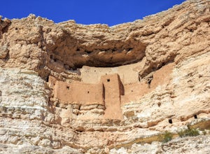
Montezuma Castle is actually one of the United State's first National Monuments. This five story 50 room cliff dwelling is one of the best preserved in all of North America. There is a short interpretive walk along the cliff in which one can see the many remnants of the previous inhabitants.The S...
Read more
-
Camp Verde, Arizona
This trail starts at the end of Bullpen Rd and your adventure begins in beautiful thickets of trees and plants. The going is easy and the tempting sound of rushing water is on your right as you continue parallel to West Clear Creek. The trail will veer left up a rocky old service road but pay att...
Read more
-
Payson, Arizona
To get to the trailhead, use the turnoff of highway 87 labeled Barnhardt trail (has a marked sign coming from both Payson and Phoenix). Barnhardt road is just over 4 miles and is unpaved. The road can be driven on by lower clearance cars because the terrain is not too rocky. Once at the trailhead...
Read more

