Apache Junction, Arizona
Top Spots in and near Apache Junction
-
Cave Creek, Arizona
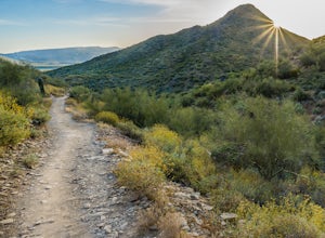
Hike the Go John Trail
5.05.6 mi / 804 ft gainAs you park at the trailhead, you have the option to take this trail in either direction. I recommend that you travel north, which will immediately provide 0.75 miles of elevation gain. You will then reach a pass with panoramic views of the Tonto National Forest. A bench in this area provides the...Read more -
Cave Creek, Arizona
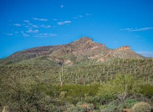
Elephant Mountain Fortress Hike
5.05.5 mi / 867 ft gainThis hike beings at Spur Cross Ranch in Cave Creek, which is a lush riparian area flowing with Saguaros. Starting at the trailhead, you will start this loop by hiking clockwise on Tortuga trail which will connect with the Elephant Mountain trail at 1.5 miles. As you start to ascend the Elephant M...Read more -
Young, Arizona
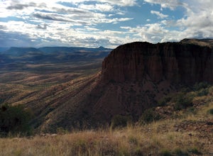
Camping on Roosevelt Lake Overlook
5.0Stumbled upon this phenomenal spot while dual-sporting through the Sierra Ancha range.Turning off 188 the Globe-Young Highway winds down into a valley and crosses the Salt River before passing some small homesteads and farms. It then climbs into the foothills of the Sierra Ancha mountain range. A...Read more -
Glendale, Arizona
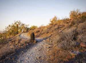
Run at Thunderbird Park
5.02 mi / 475 ft gainThis is a great spot to go for a quick run or a short hike if you're in North Phoenix. Thunderbird park is easily accessible with free entry and a number of picnic areas.There are 3 main hills with a variety of trail options to hike up/around each. From the top you'll find a nice view of valley...Read more -
Glendale, Arizona
Deem Hills Loop
3.55 miLocated in north Phoenix, the Deem Hills recreation area features a dog park, playground, soccer field, and trailhead leading into the neighboring hills. To begin your hike, get around the dog park by starting at the Circumference trailhead on the north side of the parking lot. To complete th...Read more -
Goodyear, Arizona
Hike Estrella Mountain's Baseline Trail
4.02.4 mi / 259 ft gainBaseline Trail is a 2.4 mile moderately trafficked loop trail. This trail features lovely wild flowers and is rated as intermediate. You can use this trail not just for hiking but you can also use the trail for running as well as mountain biking. On the trail you are allowed to bring your furry f...Read more -
Payson, Arizona
Hike Barnhardt Trail
4.88 mi / 1912 ft gainTo get to the trailhead, use the turnoff of highway 87 labeled Barnhardt trail (has a marked sign coming from both Payson and Phoenix). Barnhardt road is just over 4 miles and is unpaved. The road can be driven on by lower clearance cars because the terrain is not too rocky. Once at the trailhead...Read more

