Estillfork, Alabama
Looking for the best hiking in Estillfork? We've got you covered with the top trails, trips, hiking, backpacking, camping and more around Estillfork. The detailed guides, photos, and reviews are all submitted by the Outbound community.
Top Hiking Spots in and near Estillfork
-
Signal Mountain, Tennessee
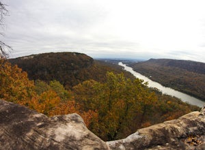
Hike to Edwards Point
4.75.8 mi / 50 ft gainThe Signal Point to Edwards Points trail serves as the southernmost leg of the Cumberland Trail, winding through part of the Chickamauga and Chattanooga National Military Park. From the initial Signal Point overlook, the path descends into Middle Creek Gorge, passes through the Rainbow Lake Wilde...Read more -
Signal Mountain, Tennessee
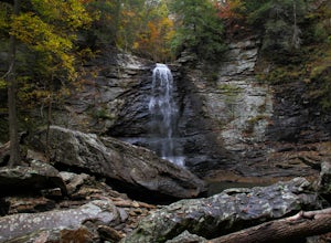
Hike to Rainbow Falls
4.75.7 mi / 1500 ft gainMost Rainbow Lake Trail hikers have seen or heard the majestic Rainbow Falls, but fewer have ventured down the treacherous path to the falls themselves. Albeit a bit daunting, especially if there has been recent rain, the path from Rainbow Lake Trail down to Rainbow Falls is a rewarding trek for ...Read more -
Palmer, Tennessee
Hike the North Plateau-North Rim Loop at Savage Gulf
4.014.7 mi / 2483 ft gainFrom the Savage Ranger Station, take the Savage Day Loop for roughly 2.2 miles until you reach the junction. From there take the North Plateau trail and return on the North Rim trail. The elevation gain on this trail is rather gradual and and subtle, but it is a long trek that requires endurance ...Read more -
Palmer, Tennessee
Savage Falls Trail
5.02.98 mi / 495 ft gainSavage Gulf Natural Area has more than 50 miles of trails, so be sure to start this adventure from the Savage Gulf Ranger Station entrance. To the right of the building, you'll find the trailhead for the Savage Day Loop. There, you can begin the 1.8-mile journey to the park's more-secluded waterf...Read more -
Fort Payne, Alabama
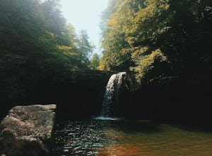
Swim at Little Falls (Martha's Falls)
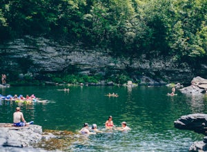
4.41.5 miLittle Falls, also referred to as Martha Falls and the “Hippie Hole” by the locals, is a popular swimming hole a part of Little River Canyon National Preserve, located along the state line of Alabama and Georgia. Perks include free parking and free admission. Drive up Lookout Mountain and pull i...Read more -
Fort Payne, Alabama
Explore Little River Falls
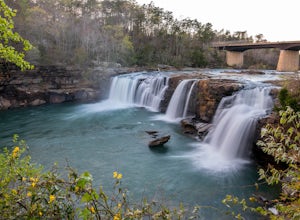
4.0Little River Falls is a popular site within the Little River Canyon National Preserve, a 12 mile long, 600 ft deep canyon.The 45-foot falls can be accessible from two different vantage points – either via a paved but steep path from the parking lot down to an overlook, or by driving to a higher l...Read more -
Fort Payne, Alabama
Little River Canyon
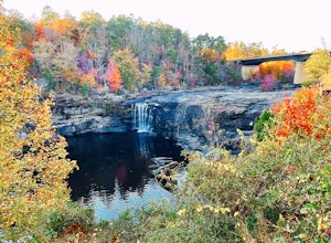
1.33 mi / 180 ft gainLittle River Canyon is a loop trail that takes you by a waterfall located near Fort Payne, Alabama.Read more

