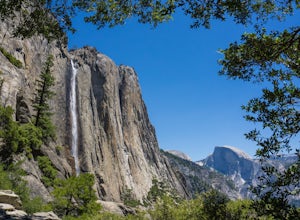
Upper Yosemite Falls
37.741904,-119.601967
4.7
5.98 mi
/ 2700 ft gain
You can find the trailhead to Upper Yosemite Falls near Camp 4. There is plenty of free parking here and you can also take a shuttle to stop #7. Be sure to start this hike early in the day as it is strenuous and can get really hot as the day goes on. Bring plenty of water and snacks and take many short breaks due to the steep ascent on the way up. The first mile of the hike is pretty much exclu...
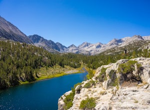
Hike Morgan Pass to 7 Scenic Lakes
Bishop, California
5.0
10 mi
Take the 395 North for 20 miles past Bishop and make a left on Rock Creek Road. Follow this road for 10 miles until you reach the free parking area at the Mosquito Flats Trailhead. Even on a holiday weekend, finding parking wasn’t a problem. The trailhead offers easy access to bathrooms and bear boxes for anyone in need. Be sure to bring plenty of water or a filter as there is no drinkable wate...
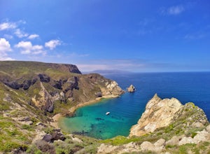
Potato Harbor Trail
Ventura, California
5.0
4.34 mi
/ 404 ft gain
As California’s largest island, Santa Cruz Island of the Channel Islands is the perfect little getaway from Los Angeles. Getting to the island is possible only by a one hour boat ride through Island Packers, click here to find out more about them. Be sure to pack light since you’ll be carrying everything onto the boat and to your campsite on your own. It is also highly recommended to call and r...
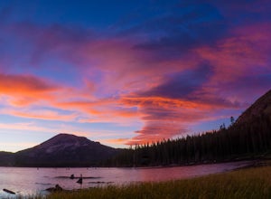
Photograph Lake Mary, Mammoth Lakes
Mammoth Lakes, California
4.0
Lake Mary is the largest of the 11 lakes in the Mammoth Mountain area. Explore the lake’s perimeter and find your own perfectly peaceful place to watch one of Mammoth’s signature stunning sunsets. Parking is easy to come by either on the side of the road or at the marina parking lot up the road.Bring a few chairs with snacks and drinks, post up at a spot you like and enjoy the view. My favorite...
Rowena Crest Viewpoint
Mosier, Oregon
4.8
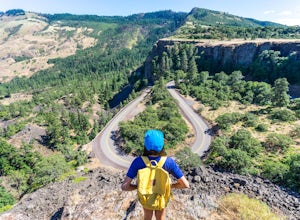
If you're looking for a minimal effort pit stop on the drive through the Columbia River Gorge with huge bang for your buck, this is the spot. Rowena Crest is an iconic viewpoint that creates a horseshoe curve along the road. This unique shape is one of the most photographed roads in Oregon. It's a very short walk from the parking lot to sweeping views of the surrounding hills, cliffs, and the g...
Explore Skógafoss in the Winter
Skógafoss, Iceland, Iceland
4.8
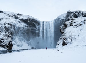
Throughout all seasons of the year, Skógafoss is one of Iceland’s most visited waterfalls. This waterfall is in the top 5 largest in the country, with a dizzying drop of 60 meters. Skógafoss is especially unique because it comes directly from two glaciers. Millions of gallons of glacier water cascade over the huge cliff every day. Because it is located right off the Ring Road in a small town ca...
Explore Crescent Falls
Clearwater County, Alberta
4.0
3.9 mi
/ 260 ft gain
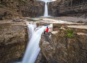
Crescent Falls may not be as well-known as some of the other attractions found in Alberta, but this waterfall is easily one of the most impressive. Crescent Falls is very easily accessible and can be found off Hwy 11, the David Thompson Highway. From the parking lot, you’ll find a well-marked trail leading to the viewing platform overlooking the upper waterfall. Watching the fall’s thunderous d...
Hike to the Johnston Canyon Cave
Improvement District No. 9, Alberta
4.4
3.4 mi
/ 700 ft gain
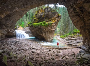
It’s amazing how much varied scenery you see over the course of the very short 1.7 mile hike. Follow the catwalks through the canyon as the stunning turquoise water flows below. If you’re feeling up for a longer hike, you can continue along the trail to the Ink Pots (makes for a great winter hike!), which is an additional 3.6 miles. To avoid the crowds, it is highly recommended to start this hi...
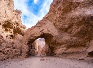
Natural Bridge Canyon
Inyo County, California
4.7
1.39 mi
/ 518 ft gain
Natural Bridge Canyon is one of the few canyons in Death Valley with an official trailhead that can be easily accessed from the parking lot. You’ll find the trailhead off Highway 178, just 4 miles south of the Artist’s Drive scenic loop. The hike is nice and easy and great for families or large groups. From the parking lot, it takes about 10-15 minutes to reach the natural bridge. As you’re ...
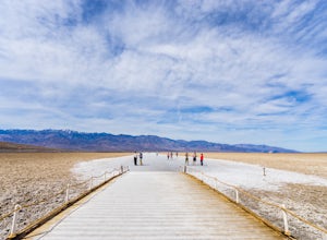
Badwater Basin's Salt Flats
Inyo County, California
4.6
1.92 mi
/ 43 ft gain
Taking a walk on the salt flats at Badwater Basin is like no other experience in Death Valley National Park. These flats cover nearly 200 square miles across the park, which makes them one of the world’s largest protected salt flats. With an elevation of 282 feet below sea level, Badwater Basin is known to be the lowest point in North America.
Just a short walk from the parking lot, you’ll sta...
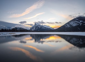
Explore Vermillion Lakes in Banff National Park
Banff, Alberta
4.7
Vermillion Lakes is one of the best spot's in Banff to catch a sunrise or sunset depending on the season. Although it's one of the most popular locations for photographers, there are so many different areas around the lakes that you'll never feel like it's too crowded. Mount Rundle can be photographed during anytime during the year, but be sure to check for ideal conditions to capture that perf...
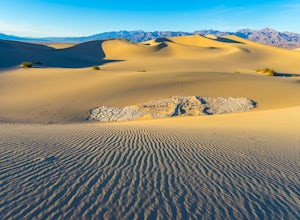
Photographing the Mesquite Flat Sand Dunes
Death Valley, California
4.9
The Mesquite Flat Sand Dunes are the most photographed dunes at Death Valley National Park. To reach the dune’s parking lot from Furnace Creek, drive 22 miles west on Highway 190. Three miles before you reach Stovepipe Wells, the dunes will be clearly visible from the road and you’ll turn right into the parking lot. There’s no official trailhead to get to the dunes so follow the path of least r...
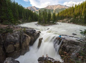
Sunwapta Falls
Jasper, Alberta
4.6
1.91 mi
/ 0 ft gain
Located in Jasper National Park, Alberta, Sunwapta is a short drive along the Icefields Parkway to the Rocky Mountain Lodge. You can park at the lodge and take a short walk out to the falls or if there's room, park at the parking area located next to the falls. This stunning waterfall lunges about 18.5 meters (60 feet) to the water below.
You can add on a quick hike to the lower falls on a 1.9...
Exploring Seljalandsfoss
Seljalandsfoss, Iceland, Iceland
4.5
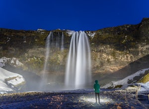
Located just off the Ring Road, Seljalandsfoss is one of Iceland’s most famous waterfalls and it's easy to see why. Reaching nearly 60 meters, this waterfall’s claim to fame is that it can be viewed from nearly every angle. The well-developed loop trail allows you to go behind the falls for an epic view. Depending on the time of year, the falls will be surrounded by snow and icicles or you may ...
Take a Sunset Surf at Manhattan Beach
Manhattan Beach, California
4.4
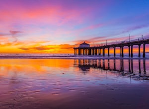
Manhattan Beach Pier is a popular spot in the South Bay of Los Angeles for surfers of all levels. With its exposed beach break with consistent surf and more than 300 days of sun per year, you can pretty much always count on good weather in Manhattan Beach so you can surf no matter the season. Ideal swells come in from the southwest, which creates mellow waves during sunset that are perfect for ...
La Jolla Cove
San Diego, California
4.8
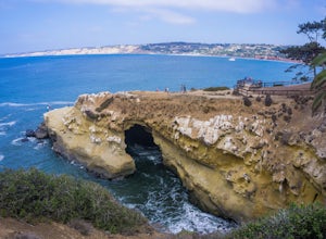
La Jolla Cove is one of the most photographed beaches in San Diego, located on the coast just south of Torrey Pines Natural Reserve. La Jolla Cove is also one of the best spots in San Diego for snorkeling and scuba diving. This calm cove is ecologically protected with many animals making their home here, including some bright orange garibaldi. There is parking nearby at paid lots, meters, or e...
Photographing Valley View
YOSEMITE NATIONAL PARK, California
4.5
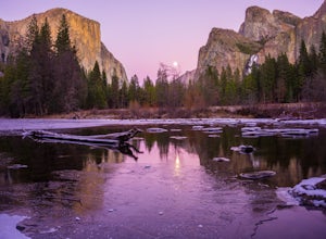
Valley View is a must stop viewpoint in Yosemite National Park. Most people visit Valley View on their way out of the park as it is the last stop, located along the one-way Northside Drive. Look for a small parking area to your left just before Pohono Bridge. There are only about a dozen parking spots, but people come and go so often that finding a spot shouldn’t be a problem.The second you s...
Mobius Arch Loop
The Mobius Arch Loop Trailhead, California
4.4
0.63 mi
/ 46 ft gain
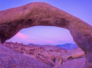
The Alabama Hills area of Lone Pine, CA is located on the eastern side of the Sierra Nevadas. As you drive along Movie Flat Road you will be surrounded by a sea of golden brown boulders of varying shapes and sizes extending in every direction. The main attraction in Alabama Hills is definitely the Mobius Arch. Many people stop by to photograph Mt. Whitney, which is perfectly framed through the ...
Athabasca Ice Caves
Jasper, Alberta
3.0
1 mi
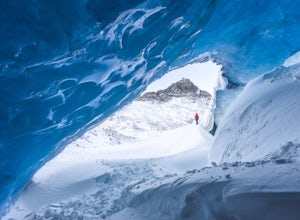
The Icefields Parkway is without a doubt one of the most beautiful drives in the world. Just off the road, you’ll find one of Jasper’s hidden gems where you can explore this stunning ice cave. Venture inside (with extreme caution) to marvel at the brilliant blue walls and admire epic views of the Canadian Rockies perfectly framed by the cave's opening.
The cave is right near the Columbia Icefi...
Lower Yosemite Falls
Mariposa County, California
4.8
1.16 mi
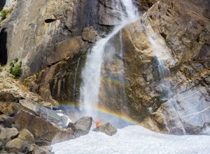
At 2,425 feet, Yosemite Falls is the highest waterfall in North America. The falls consists of three sections: Upper Falls, Middle Cascades, and Lower Falls. At 320 feet, Lower Yosemite Falls is one of the most popular attractions at Yosemite National Park. This 1-mile loop is a leisurely walk with awesome views of both Upper and Lower Falls and viewing access to the bottom of Lower Falls. The ...
Pine Creek Bridge
Hurricane, Utah
4.4
1.46 mi
/ 69 ft gain
The view of the Watchman from Canyon Junction Bridge was formerly one of the most highly photographed views in Zion National Park. Per Zion National Park regulations, standing on the Canyon Junction Bridge for photographs is not permitted. Your best alternative is Pine Creek Bridge, a pedestrian bridge, along the Pa'Rus Trail.
From the Human History Museum, you park and take a small trail to...
Camp Under Zion's Watchman
Hurricane, Utah
4.3
Watchman Campground is one of the most popular campgrounds at Zion National Park. With a prime location only a ¼ mile away from the South entrance and gorgeous scenery right outside of your tent, including the tall sandstone cliffs that surround it, it’s easy to see why this campground is everyone’s first choice. Watchman Campground is also open year-round so you can enjoy the park any time of ...
Terranea Beach Sea Cave
Rancho Palos Verdes, California
4.3
1.63 mi
/ 210 ft gain
Head to the Pelican Cove parking lot where there’s plenty of free parking right at the trailhead. From the parking lot, take the Terranea Beach Trail and you will see views of the Point Vicente Lighthouse down the coast to your right. Continue on the trail through the luxury Terranea Resort which is home to Nelson’s restaurant, where you can grab a bite to eat after exploring. As you continue,...
Hilltop Park
Signal Hill, California
4.7
Hilltop Park is located in Signal Hill and offers an unmatched panoramic view of the Los Angeles Basin. If you go on a clear day, you may even be lucky enough to see Catalina Island and the Santa Monica and San Gabriel Mountains. This park is the perfect spot for families, dogs, and even dates. There’s always plenty of parking, but be sure to come before sunset as it is a popular spot amongst L...
Community
© 2024 The Outbound Collective - Terms of Use - Privacy Policy

