Wilderswil, Switzerland
Top Spots in and near Wilderswil
-
Bognanco, Italy
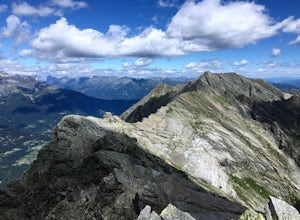
Hike to Gattascosa hut and Camoscellahorn
4.2 mi / 3290.7 ft gainThe path that I'm suggesting here can be completed in full if you feel trained for a climb of 1000m but it can also be cut in half at the Monscera pass if you prefer something simpler and lighter. In any case, your excursion will give you great reward. From Domodossola follow directions to Bognan...Read more -
Randa, Switzerland
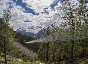
Hike to the Charles Kuonen Suspension Bridge
5.4 mi / 3280.8 ft gainTechnical specificationsLength: 494m / Height: 85m / Elevation: 2080m above see level / Time to cross: 10 min The bridge is located in the Swiss Alps, near the village of Randa, where you start the hike. It says 4h for the loop, but it takes less time if you're a good hiker. The normal route is a...Read more -
Erstfeld, Switzerland
Hike Bälmeten
9 mi / 4485 ft gainBrass Tax Distance: 9 mi out and back. Elevation Gain : 4,485 ft Difficulty: Difficult Time: Full day (overnight possibility) The Hike This hike begins in the town of Schattdorf. It is relatively accessible from most major cities by train and bus. You’ll take the cable car up at Schattdorf LS...Read more -
Silenen, Switzerland
Hike from Bristen to Sedrun via the Gotthard Tunnel
10.6 mi / 4593.2 ft gainYou start this hike at the Golzern-Talstation in the small town of Bristen in Canton Uri. As it is a point-to-point hike, I recommend to use public transportation. The journey from Amsteg to Bristen is already an adventure by itself: the road is so narrow that other vehicles cannot cross, so that...Read more -
Zermatt, Switzerland
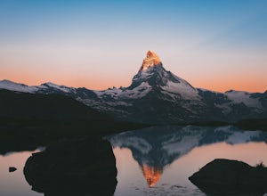
Photograph the Matterhorn
5.0Take the underground cable car from Zermatt Sunnegga valley station. At Sunnegga, take the gondula to Blauherd. Stelli Lake (look out for Stellisee) is only about 15 minutes from Blauherd station.Thousands of photos have been taken at Stellisee, so add a few more to that number. Stelli Lake featu...Read more -
Zermatt, Switzerland
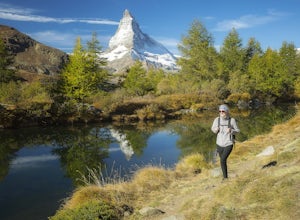
Hike to Grindjisee
1.8 mi / 150 ft gainNestled at the end of a long valley, the village of Zermatt is constantly dwarfed by the tooth-shaped Matterhorn. You can virtually hike anywhere around Zermatt and see the Matterhorn, but there are some places that offer better views than others. One of those places is a small lake called Grindj...Read more -
Zermatt, Switzerland
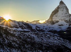
Explore The Matterhorn
5.0The Matterhorn straddles both Switzerland and Italy and is one of the most beautiful peaks you can shoot. The summit sits at 14,692 feet, making this one of the tallest peaks in Europe.There's an abundance of mellow hikes around the area - check a map in Zermatt for a trail that suits you or just...Read more -
Leysin, Switzerland
Hike and Climb the Via Ferrata de la Tour D'Ai
5.05 mi / 1000 ft gainA Via Ferrata is a protected climbing road created in the Alps made of steel. With a climber’s kit, you secure yourself to cables periodically attached to the mountain, and climb up with the help of steel pegs fixed into the mountain. The Via Ferrata of the Tour D’Ai is located in Leysin, and i...Read more

