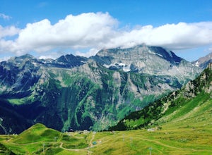
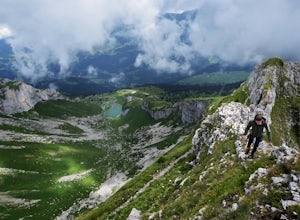
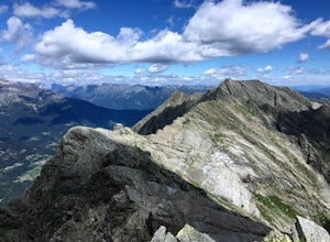
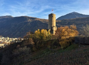
Leukerbad, Switzerland
Top Spots in and near Leukerbad
-
Lauterbrunnen, Switzerland
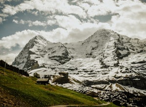
Hike to Kleine Scheidegg from Wengen in the Bernese Highlands
5.09.3 mi / 2788.7 ft gainThis summer hike from the picturesque ski town of Wengen in the Bernese Alps to Kleine Scheidegg is an easy (although sometimes reasonably steep) trail along a well signposted gravel trail. You start the hike at Wengen train station. When you exit the station bear right and follow the upper road....Read more -
Wilderswil, Switzerland
Canyoning in the Saxetenbach Gorge
Interlaken, Switzerland; a city known for its extreme sports and gorgeous scenery is a European city that is not to be missed. While you can experience the traditional extreme sports such as paragliding, bungee jumping or skydiving here, it’s a slightly less extreme yet more unique option you sho...Read more -
Saas-Grund, Switzerland
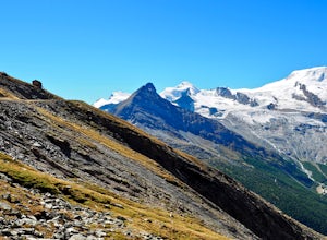
Hike the Almageller Höhenweg
6.9 mi / 689 ft gainGetting ThereStart your tour in Saas-Grund at the bottom station of the Hohsaas cableway. In summer, it costs you only 7 Swiss Francs there to park your car for the day. Then take the cable car up to the middle station (Kreuzboden) where your hike will begin.Hint: If you are staying in the Saas V...Read more -
Gündlischwand, Switzerland
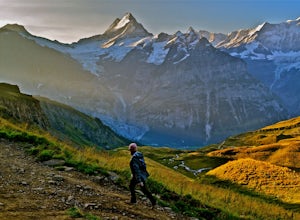
Trek in the Swiss Alps
68 miThe Trek: Words cannot describe the unparalleled beauty and scenery you will experience on this trek. The journey starts at Schynige Platte where you get your first up-close glimpse of the Berner Oberland including the Eiger, Jungfrau, Monch, and Wetterhorn. From there you will wind up and down t...Read more -
Simplon, Switzerland
Hike in the Laggintal
7.3 mi / 3359.6 ft gainThe journey begins in the village of Simplon Dorf, crouched on soft hills and lush green meadows under the Fletschhorn.The trail starts at the side of the Post Office in the center of Simplon Dorf and you'll ascend on a track very well marked crossing diagonally the wooded ridge overlooking the v...Read more -
Interlaken, Switzerland
Hike to Harder Kulm
5.05 mi / 2400 ft gainThere are a few different ways to reach the top of Harder Kulm, which are mainly dependent upon your budget and fitness level. The way many people reach the top is by a cable car, that depending on when you go, can cost around CHF 32.00, which is close to USD 32.00. The alternative way is by trai...Read more -
Château-d’Œx, Switzerland
Ski and Snowboard Chateau D'oex
Chateau D'oex sits at 3,100 feet above sea level in the French-speaking Canton of Vaud, Switzerland. The easiest way to get to this picturesque place is by train, unless you happen to be staying nearby with a car. The small mountain town of about 3,500 people is riddled with history, beautiful la...Read more -
Zermatt, Switzerland
Photograph the Matterhorn
5.0Take the underground cable car from Zermatt Sunnegga valley station. At Sunnegga, take the gondula to Blauherd. Stelli Lake (look out for Stellisee) is only about 15 minutes from Blauherd station.Thousands of photos have been taken at Stellisee, so add a few more to that number. Stelli Lake featu...Read more -
Zermatt, Switzerland
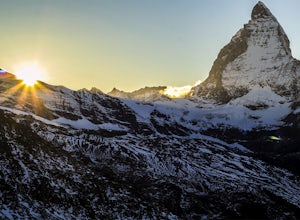
Explore The Matterhorn
5.0The Matterhorn straddles both Switzerland and Italy and is one of the most beautiful peaks you can shoot. The summit sits at 14,692 feet, making this one of the tallest peaks in Europe.There's an abundance of mellow hikes around the area - check a map in Zermatt for a trail that suits you or just...Read more -
Zermatt, Switzerland
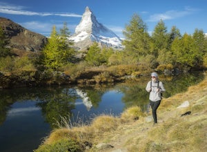
Hike to Grindjisee
1.8 mi / 150 ft gainNestled at the end of a long valley, the village of Zermatt is constantly dwarfed by the tooth-shaped Matterhorn. You can virtually hike anywhere around Zermatt and see the Matterhorn, but there are some places that offer better views than others. One of those places is a small lake called Grindj...Read more -
Grindelwald, Switzerland
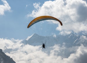
Paraglide in the Swiss Alps
5.0There are few places that are quite as magical as the Swiss Alps. Towering peaks, rich culture, iconic architecture, and rolling green pastures; it's a storybook setting. While there are a multitude of ways to enjoy Switzerland, paragliding amidst the Swiss Alps tops the list. Once the snow melts...Read more -
Grindelwald, Switzerland
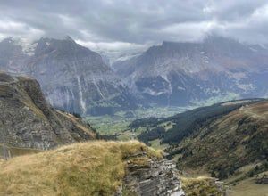
First to Balchalpsee
3.69 mi / 551 ft gainFirst to Balchalpsee is a 4-mile out-and-back trail. I did it on a rainy overcast day and the views were still spectacular. At a moderate pace, it took only 1 hour to complete the out-and-back hiking portion, with 20 minutes spent at the lake overlooking the glaciers. There is a fee to ride the...Read more -
San Anselmo, California
Hiking the Alpi Pontine - Pizzo Diei and Mount Cistella
12 mi / 4517.7 ft gainDrive to the San Domenico ski resort, a lovely small Italian alpine town where you will start. There you can opt to ride the cable car and save yourself about 450 meters of hiking up through ski tracks that are beautiful but will not add much to the adventure and which will already be very energy...Read more -
Leysin, Switzerland
Hike and Climb the Via Ferrata de la Tour D'Ai
5.05 mi / 1000 ft gainA Via Ferrata is a protected climbing road created in the Alps made of steel. With a climber’s kit, you secure yourself to cables periodically attached to the mountain, and climb up with the help of steel pegs fixed into the mountain. The Via Ferrata of the Tour D’Ai is located in Leysin, and i...Read more -
Bognanco, Italy
Hike to Gattascosa hut and Camoscellahorn
4.2 mi / 3290.7 ft gainThe path that I'm suggesting here can be completed in full if you feel trained for a climb of 1000m but it can also be cut in half at the Monscera pass if you prefer something simpler and lighter. In any case, your excursion will give you great reward. From Domodossola follow directions to Bognan...Read more -
Martigny, Switzerland
Hike to La Bâtiaz Castle in Martigny
3.6 mi / 675 ft gainStarting in the Martigny town center, the trailhead is easy to find. Follow Rue de la Bâtiaz across La Dranse Rive and after about two blocks you will see signs to Chemin du Château, the "path to the castle."A relatively easy hike, switchbacks wind through vineyards on the mountainside for 1.8 mi...Read more

