Icogne, Switzerland
Looking for the best hiking in Icogne? We've got you covered with the top trails, trips, hiking, backpacking, camping and more around Icogne. The detailed guides, photos, and reviews are all submitted by the Outbound community.
Top Hiking Spots in and near Icogne
-
Zermatt, Switzerland
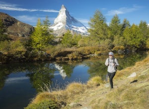
Hike to Grindjisee
1.8 mi / 150 ft gainNestled at the end of a long valley, the village of Zermatt is constantly dwarfed by the tooth-shaped Matterhorn. You can virtually hike anywhere around Zermatt and see the Matterhorn, but there are some places that offer better views than others. One of those places is a small lake called Grindj...Read more -
Saas-Grund, Switzerland
Hike the Almageller Höhenweg
6.9 mi / 689 ft gainGetting ThereStart your tour in Saas-Grund at the bottom station of the Hohsaas cableway. In summer, it costs you only 7 Swiss Francs there to park your car for the day. Then take the cable car up to the middle station (Kreuzboden) where your hike will begin.Hint: If you are staying in the Saas V...Read more -
Simplon, Switzerland
Hike in the Laggintal
7.3 mi / 3359.6 ft gainThe journey begins in the village of Simplon Dorf, crouched on soft hills and lush green meadows under the Fletschhorn.The trail starts at the side of the Post Office in the center of Simplon Dorf and you'll ascend on a track very well marked crossing diagonally the wooded ridge overlooking the v...Read more -
Bettmeralp, Switzerland
Hike the Swiss Alps
4.04 mi / 250 ft gainThis beautiful 4 mile hike takes you past several small lakes and ponds, and offers amazing views of the backside of the Matterhorn.To hike around the Jungfrau-Aletsch glacier and Alps, begin at Bettmersee Lake, just next to the village. Facing the lake, with the village behind you, head left and...Read more -
Bettmeralp, Switzerland
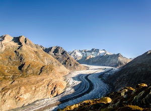
Hiking Along The Great Aletsch Glacier
From Bettmersee Lake follow the trail northeast to "Biel". There's some elevation gain until you reach a large, wider bend in the the trail at Biel, from where you have an incredible view of the Aletsch Glacier and the Swiss Alps, including the Matterhorn.Facing the Glacier, head left and follow ...Read more -
Lauterbrunnen, Switzerland
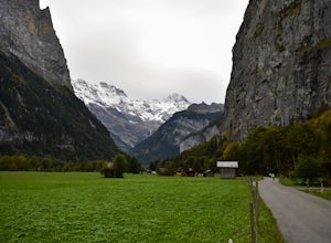
Explore the Valley of Lauterbrunnen
5.03.5 mi / 200 ft gainIf you're looking for a day in-between the big hiking days or a relaxing walk, Laterbrunnen is the place to be. Its one of those places that you always see in the pictures and I'll be the first to say it definitely lived up to its expectations. Its a smaller town up in the mountains, that can be ...Read more -
Lauterbrunnen, Switzerland
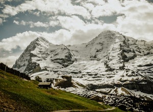
Hike to Kleine Scheidegg from Wengen in the Bernese Highlands
5.09.3 mi / 2788.7 ft gainThis summer hike from the picturesque ski town of Wengen in the Bernese Alps to Kleine Scheidegg is an easy (although sometimes reasonably steep) trail along a well signposted gravel trail. You start the hike at Wengen train station. When you exit the station bear right and follow the upper road....Read more -
Wilderswil, Switzerland
Canyoning in the Saxetenbach Gorge
Interlaken, Switzerland; a city known for its extreme sports and gorgeous scenery is a European city that is not to be missed. While you can experience the traditional extreme sports such as paragliding, bungee jumping or skydiving here, it’s a slightly less extreme yet more unique option you sho...Read more -
Gündlischwand, Switzerland
Trek in the Swiss Alps
68 miThe Trek: Words cannot describe the unparalleled beauty and scenery you will experience on this trek. The journey starts at Schynige Platte where you get your first up-close glimpse of the Berner Oberland including the Eiger, Jungfrau, Monch, and Wetterhorn. From there you will wind up and down t...Read more -
Interlaken, Switzerland
Hike to Harder Kulm
5.05 mi / 2400 ft gainThere are a few different ways to reach the top of Harder Kulm, which are mainly dependent upon your budget and fitness level. The way many people reach the top is by a cable car, that depending on when you go, can cost around CHF 32.00, which is close to USD 32.00. The alternative way is by trai...Read more -
Chamonix-Mont-Blanc, France
Hike to Le Lac Blanc
5 mi / 1657 ft gainThis adventure begins at the Flégère gondola in Les Praz (a village in the NorthEast section of Chamonix), which is easy to get to with the free Chamonix bus. Take the Flégère gondola to La Flégère, situated at 1894 meters (6,213 feet). The ride up itself shouldn't take more than ten minutes, but...Read more -
Chamonix-Mont-Blanc, France
Climb the Aiguilles Crochues Traverse
5 mi / 1476.4 ft gainThe valley of Chamonix-Mont-Blanc is most well known for the mountain it’s named after, Western Europe’s highest peak. Yet just right across the valley on its north side lies a dramatic and beautiful range that cuts the horizon with tall rock spires: The Aiguilles Rouges.Part of the Rouges range,...Read more -
San Anselmo, California
Hiking the Alpi Pontine - Pizzo Diei and Mount Cistella
12 mi / 4517.7 ft gainDrive to the San Domenico ski resort, a lovely small Italian alpine town where you will start. There you can opt to ride the cable car and save yourself about 450 meters of hiking up through ski tracks that are beautiful but will not add much to the adventure and which will already be very energy...Read more -
Bognanco, Italy
Hike to Gattascosa hut and Camoscellahorn
4.2 mi / 3290.7 ft gainThe path that I'm suggesting here can be completed in full if you feel trained for a climb of 1000m but it can also be cut in half at the Monscera pass if you prefer something simpler and lighter. In any case, your excursion will give you great reward. From Domodossola follow directions to Bognan...Read more -
Chamonix-Mont-Blanc, France
Explore the Le Brévent Summit Alpine Area
Begin this hike by either making the 3.5 hour hike from the town of Chamonix to the top of Le Brévent (roughly 4,900 ft gain), or take the Brévent cable car to the top.(31€ roundtrip). Once at the summit take a moment to enjoy the 360° view, the fun is only getting started. After getting your fil...Read more -
Alagna Valsesia, Italy
Hike to Alpe Testanera - Monte Rosa
10.2 mi / 3641.7 ft gainThis is an enjoyable hike that will lead you to a beautiful arena where your can admire the south side of the Monte Rosa.After parking at Wold, after the village of Alagna Valsesia, just follow the road to the Acqua Bianca falls. Here you can find the trail (7a) that leads to Turlo pass and, once...Read more

