Welschnofen, Italy
Looking for the best photography in Welschnofen? We've got you covered with the top trails, trips, hiking, backpacking, camping and more around Welschnofen. The detailed guides, photos, and reviews are all submitted by the Outbound community.
Top Photography Spots in and near Welschnofen
-
Welschnofen, Italy
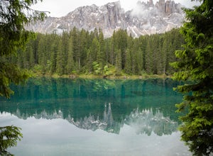
Loop hike around Lago Di Carezza
1 mi / 20 ft gainOne of the most scenic lakes in the Dolomites, this spot can be found right along the road as you drive by from Lake Garda toward Lago Di Brais. One of the richest and deepest blues in a glacial lake in the Dolomites. Definitely worth your time to stretch your legs and hike around this amazing s...Read more -
Santa Cristina Valgardena, Italy
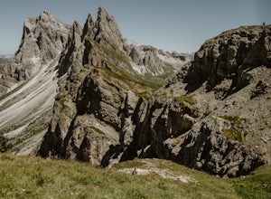
Hike from Col Raiser to Seceda in the Dolomites
Seceda is one of the most famous (and most photographed) spots in all of the Italian Dolomites. This summer I decided to finally visit it to see if it was really worth the hype, and to see if there was a way to escape the worst of the crowds.Most tourists visit Seceda from Ortisei, taking the cab...Read more -
Funes, Italy
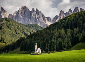
Photograph St. Johann Church
5.0This small church sits in a cow pasture just outside of Puez-Geisler Nature Park. The church is next to a hotel, making parking and visiting a little easier. To get the best vantage point of the church and mountains, walk down the road and shoot through the fence. The mountains are fairly lumi...Read more -
Villnöß, Italy
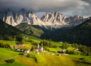
Photograph Santa Maddalena Church in the Dolomites
3.0Santa Maddalena, also known as St. Magdalena, is a picturesque medieval church sequestered in the northern mountains of Italy. The Odle Mountain Group of the Dolomites tower above the surrounding valley and provide an incredible backdrop for images. To reach the best vantage point to photograph...Read more -
Cortina d'Ampezzo, Italy
Croda Da Lago Circut
7.8 mi / 1148 ft gainBrass Tax Hiking tracks: 437, 434, 435 Distance: 7.8 miles / 12.5 km - 759 meter elevation change. Time: 7+ hours Difficulty: Moderate/difficult Stay: Rifugio Palmieri Things to Note: Trails in the Dolomites are defined by numbers. You will also notice in your planning that there are also tra...Read more -
Castel Belfort, Italy
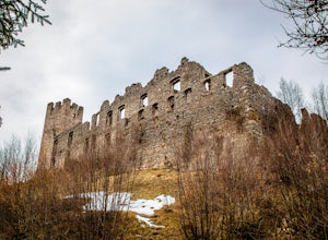
Explore the Ruins of Castel Belfort
5.0While traveling through the Italian Dolomite's, be sure to plan a stop at Castel Belfort. Though partially in ruin, the castle adorns a large tower, wide rectangular outer walls and spectacular views. The ruins are open to the public to explore and photograph at your own leisure. The Medieval...Read more -
Braies, Italy
Hike or Run the Alta Via 1 in the Dolomites
5.093.2 mi / 26250 ft gainThe Alta Via 1 is the definite trail through the Italian Dolomites, showcasing some of the most scenic terrain in all of the Alps. It begins at Lago di Braies and ends in the town Belluno, covering 150 kilometers and over 26,000' of elevation gain.Unlike backpacking or fastpacking in the United S...Read more -
Braies, Italy
Hike and Canoe at Lago Di Braies
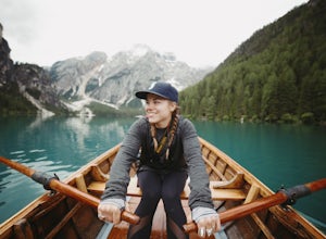
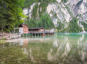
4.02.2 miStarting at the Hotel Lago Di Braies, you have the option to loop around the lake to hiker's left or right. To the left is the local dock, while to the right is a chapel and barn. Either way, you will end up where you started no longer than an hour and a half later. Once you are done with the loo...Read more -
Braies, Italy
Paddle on Lago di Braies
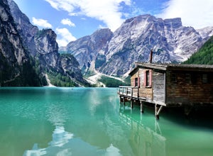
5.0This beautiful alpine lake is often compared to the famous Lake Louise in Alberta, Canada and is an absolute must if you are in the Dolomites region. Lago di Braies is the largest natural lake in the Dolomites and depending on the light, its crystal clear waters can be seen in shades of blue, gr...Read more -
Braies, Italy
Explore Pragser Wildsee
4.02.2 mi / 400 ft gainPragser Wildsee, also known as Lago di Braies, lies in a mostly German-speaking area of northern Italy close to the border with Austria. This glacial blue lake is surrounded by towering mountains and thick evergreen forests, which can be experienced on the 2.2-mile loop trail or Alta Via 1 trail....Read more -
Misurina, Italy
Photograph The Dolomites Near Misurina
The Dolomites in this area are absolutely stunning, and you can pair these massive mountains well in pictures with small towns like Auronzo, Reane, and Misurina. It may be a bit cold, but going in October or later will allow you to see the mountains with some snow sprinkled among the peaks. If y...Read more -
Misurina, Italy
Photograph Lago di Misurina
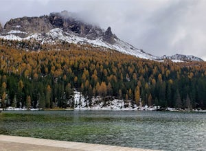
This beautiful lake and small town are tucked away in the Dolomite Mountains. It is the largest lake in Cadore, and also was the last outdoor location ever used for an Olympic speed skating event. There is ample parking alongside the lake along with a dock where you can set up your tripod. On a c...Read more -
Auronzo di Cadore, Italy
Hike to Rifugio Auronzo & The Three Peaks in the Dolomites
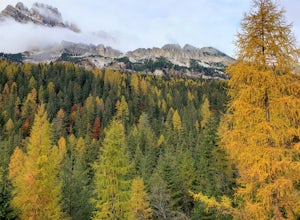
8.7 mi / 1935.7 ft gainYou start this easy hike from just before the toll road station on the road up from Misurina to Rifugio Auronzo. As you are looking towards the peaks and the trail starts on the right side of the road. The first part of the route takes you through some forest and across a couple of streams before...Read more -
Rabbi, Italy
Backpack to Sternai Lakes in Stelvio National Park
18.6 mi / 4265.1 ft gainWe start our excursion just below Saent waterfall at 1529 mt at around 11 am. The sky is dark and pushes us to move quickly not to get all the storm on our heads. The hut is still far and we move beside waterfalls and woods (trail 106). At around 2000 mt we cross the forest border and we find our...Read more -
Auronzo di Cadore, Italy
Tre Cime Di Lavaredo Loop
5.06.27 mi / 1352 ft gainThe famous Italy Dolomites are littered with numerous great hikes to showcase them, however, this trail is the cream of the crop. It will not disappoint. You have the option of hiking up to Rifugio Auronzo from Misurina, which is detailed out here. The other option that makes it easier if you're ...Read more -
Obernberg am Brenner, Austria
Hike to the Lichtersee Lake
8.6 mi / 2198.2 ft gainPark at the large car park (paid parking) for the main Obernberg lake, but instead of following the trail to the lake, take the road on the right towards Haus Waldbauer. At the end of the paved road, a gravel road bends off to the right. Follow this gravel road as it leads you uphill and back al...Read more

