Ontario
Top Spots in and near Ontario
-
Unorganized Thunder Bay District, Ontario
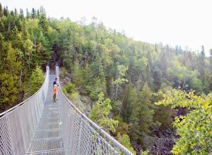
Hike to the White River Suspension Bridge in Pukaswka National Park
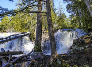
11.2 miWe chose to day hike to the White River Suspension Bridge from our backcountry site at Playter Harbour, but for a challenging hike you could start from the Hattie Cove Visitor Center and go out and back in one day. Total round trip distance is 18 km or about 11 miles.The trail to the waterfall an...Read more -
Unorganized Thunder Bay District, Ontario
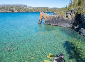
Hike to the Sea Lion of Sleeping Giant Provincial Park
5.01.3 mi / 0 ft gainPrior to the 1900s, this landmark a lion sitting on its haunches looking out to Perry Bay. The former shape of this natural arch inspired its name the Sea Lion. The lions head has fallen of but the name still continues. The softer sedimentary rock will continue to erode. The "arch" of the sea lio...Read more -
Parry Sound, Ontario
Canoe to Georgian Bay in The Massasauga
The Massasauga Provincial Park covers the islands and coastline south of Parry Sound, forming part of the globally significant Georgian Bay UNESCO Biosphere Reserve. It preserves the unique landscape of eastern Georgian Bay; clear blue water, towering pine trees and ever-present Canadian Shield b...Read more -
Nipissing, Unorganized, South Part, Ontario
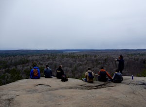
Hike Lookout Trail, Algonquin Provincial Park
5.01.2 mi / 200 ft gainJust off Hwy 60, the Lookout Trail parking lot is clearly marked. The trail is a fairly simple trip with a constant up-hill trail. Along the way there are many large bolders that will capture your attention. At the top of the cliff there is a wide viewing area clear of trees and brush to allow y...Read more -
Ayr, Ontario
Hike the Walter Bean Grand River Trail (Section 1-2)
4.04.3 mi / 100 ft gainStart by parking in the lot just off of Highway 42, and check out the trail map. There is a maintained trail perfect for biking or walking, or a forest trail for intermediate walkers. A good way to do this trail is start by heading to the waterfall, then back up and follow the forest trail north ...Read more -
Bracebridge, Ontario
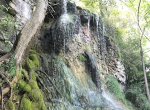
Hike to Wilson's Falls
1.9 miWilson's Falls is a beautiful hiking trail located right in the heart of Muskoka. This trail provides many different access points for stunning views of the waterfalls. Most of the trail guides you along the river bank in unique forest terrain. If you're an adventure seeker, with summer's lower w...Read more -
Killarney, Ontario
Paddle to the Devil's Door on the French River
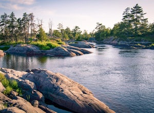
3.0French River Provincial Park is known for backcountry camping through its winding waterways and near-complete seclusion. There is lots of wildlife, great fishing, and stunning night skies to boot. Set your GPS to the Hartley Bay Marina where you can park your car and pick up (or unload) your can...Read more -
Nipissing, Unorganized, South Part, Ontario
Backpack Highland Trail in Algonquin Provincial Park
21 miThis was my first experience in the Canadian backcountry and it was remarkable. Algonquin Provincial Park is beautiful with it's range of hardwood forest trees, lakes, and overall terrain. It's popular for portaging but it also has three official backpacking trails inside the park. (Unfortunat...Read more -
Ottawa, Ontario
Surf the Ottawa River at Bates Island
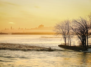
5.0To surf the wave, the first thing you need to do is check the water level of the Ottawa River at Britannia. We use the Water Office website for this information: https://wateroffice.ec.gc.ca/report/report_e.html?type=realTime&stn=02KF005Any primary water level above 59.00m is good to go. Belo...Read more -
Ayr, Ontario
Walk along the Dumfies Road Trail
1.9 mi / 10 ft gainThis little trail is located right of of dumphries rd (parking lot is hidden in some trees, be sure not to miss it). This trail is easy to follow and easy to walk. In the trail you can enjoy the local chickadees and herons while over looking small lakes. The simple walk allows for a bit of relaxa...Read more -
Floradale, Ontario
Stroll the Lions Lake Trail
5.04.3 miOne of the many entrances to the Lions Lake Trail can be found at the Crystal View Mennonite Church (marked on the map). The trail loops the Woolwich Reservoir and passes through tall trees, the Woolwich Dam, and through a local sugar bush. On the north-east side of the lake you can choose to ta...Read more -
Evansville, Ontario
Hike Coastal Alvar Trail, Misery Bay Provincial Park
5 mi / 0 ft gainThe Coastal Alvar Trail is an 8km loop that is rated as Moderate, although for those used to hiking in higher elevations or summits it would be considered easy.The trail is well-marked with hand-written signs. You begin at the Visitor Centre (that has laminated maps you can take with you) and wal...Read more -
Bracebridge, Ontario
Hike to Huckleberry Rock Lookout
1.2 miThis is a beautiful trail where many scenic Muskoka views can be observed. The trail begins in the middle of a beautiful forest which quickly opens to exposed bedrock, the oldest rock on the planet. On this excursion breathtaking views of Lake Muskoka from afar and the pink exposed rock of Huckle...Read more -
Kenora, Unorganized, Ontario
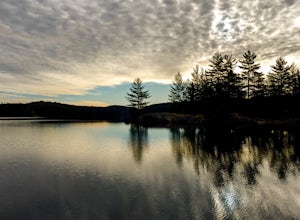
Canoe and Camp on Dogtooth Lake
4.0Located just East of Kenora, ON, Eagle-Dogtooth Provincial Park contains several peaceful lakes the makes the perfect setting to get away from society. If approaching from the West on the Trans Canada Highway, take the exit right for Highway 71 to Fort Frances after passing Kenora. If coming fr...Read more -
Kemptville, Ontario
Kayak Tip to Tip on the Rideau Canal
2.5 miThe Tip to Tip trail is the perfect location for a quick stroll, Kayak, or canoe. Located on a small quiet island called Burrits Rapids, Ontario, there is a small launch before a classic swing bridge for easy access to the water, in addition to a walking trail extending from one tip of the island...Read more -
Algoma, Unorganized, North Part, Ontario
Photograph Old Woman Bay
4.5This 3km pebble beach in Agawa Bay boast of a spectacular view and a good afternoon. Simply park your car and enjoy! Close in the area is a trail (if you wish to hike) to explore the area as well.Read more

