Squamish-Lillooet A, British Columbia
Top Spots in and near Squamish-Lillooet A
-
D'Arcy, British Columbia
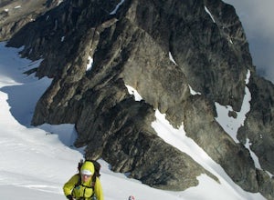
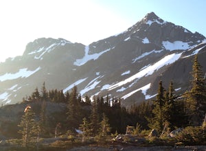
Mt Matier is an excellent mountaineering route for newer mountaineers with glacier travel experience, and a lot of scrambling experience. In good condition the glacier is manageable with fairly straight forward route finding. The Trailhead is a hard to find dirt outcrop on the side of the Duffy L...
Read more
-
Lillooet, British Columbia
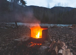
Located 3+ hours North of Vancouver on Duffey Lake Road (Highway 99), Cottonwood Recreation Site is one of 4 sites managed by the BC Forest Service. Duffey Lake Road is an extension of Highway 99 and connects Pemberton to Lillooet.If you plan on hiking or backcountry camping at Joffre Lakes, you...
Read more
-
D'Arcy, British Columbia
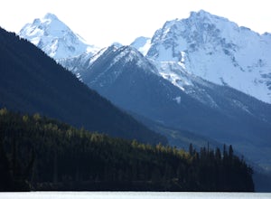
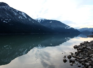
Duffey Lake sits just under Cayoosh Pass on the Duffey Lake Road (HWY 99), one of the most scenic drives in southwestern BC. Leaving from Pemberton, you'll climb just under 4000ft up to the lake, which is nestled between big, steep mountains, with the impressive Joffre group at the southwestern e...
Read more
-
D'Arcy, British Columbia
4.8
0.78 mi
/ 259 ft gain
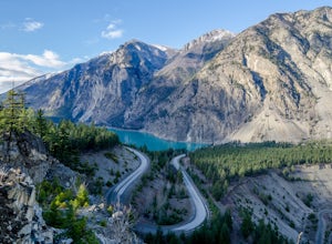
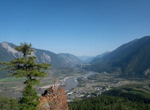
On highway 99 (Duffy Lake Road) just outside of Lillooet there is Seton Lake which is so very picturesque in its own way. It's turquoise coloured and surrounding it are cliffs and desert-like mountains.
To get to the stunning view point there is a big pull out just before the last switch back on...
Read more
-
Pemberton, British Columbia
Mt Currie is the giant mountain that sits above the village of Pemberton BC. It soars 7800 vertical feet from the valley floor to the summit in sheer cliffs. (The mountain itself is 8517ft high.)
Before 2014, the only way to reach the summit was to bushwack the entire 7800ft climb (we did this t...
Read more
-
Lytton, British Columbia
Lillooet Lake sits at the bottom of the Duffey Lake Road, just past the village of Mt Currie. In 2010, Mt Meager experienced a landslide totalling 48 million cubic metres, the largest in modern Canadian history. Sitting directly upriver of Lillooet Lake, the Meager slide turned this beautiful tur...
Read more
-
Lytton, British Columbia
If you're coming from Vancouver give yourself about 3 -4 hours of daylight driving time. This place isn't the easiest to find in the dark. From Pemberton, stay on the highway - this drive is beautiful! Follow any directions you see that will take you to the Duffy Lake road. After you drive along ...
Read more
-
100 Mile House, British Columbia
4.0
2.2 mi
/ 1700 ft gain
The trail starts on a gravel road going up towards a water tower. A doubletrack trail takes off to the right and up the hill as you near the water tower. Take the this trail and this can be followed all the way up to the red rock view point. There are several, steeper, narrower trails branching o...
Read more

