Shirley, British Columbia
Top Spots in and near Shirley
-
Port Angeles, Washington
3.7
21.52 mi
/ 3556 ft gain
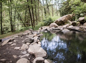
A local favorite, this moderate day hike winds its way uphill from the Appleton Pass trailhead through old growth stands of fir, hemlock and cedar for 2.2 miles to a cluster of hot springs interspersed among the trees. Note: This route is now closed due to a washed out road. The current route is ...
Read more
-
Port Angeles, Washington
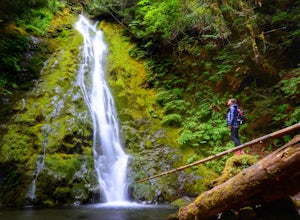
Madison Falls is at the end of a 200 foot paved pathway. It is approximately 60 feet tall and lingers in the midst of incredible lush forest. Enjoy it from a viewing point of up close and personal where you can see the greenest of moss growing up along the rocks.
Read more
-
Port Renfrew, British Columbia
To get to the Avatar Grove, drive to Port Renfrew along West Coast highway 14. Turn right onto Deering Rd and cross the long bridge over the San Juan River. Stay right at the next Y intersection, and then left at the T intersection. At the next Y keep left and cross a tall bridge over the crys...
Read more
-
Duncan, British Columbia
3.0
6.5 mi
/ 2473.8 ft gain
Mt Prevost is a local favourite for hikers, mountain bikers and if you can believe even hang gliders. Most people know it for the large war memorial tower that is perched on the cliff edge, standing guard over the valley below.The big draw of Mt Prevost is easy access to a significant distance an...
Read more
-
-
Port Angeles, Washington
5.0
6.11 mi
/ 1198 ft gain
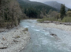
West Elwha River Trail is an out-and-back trail that takes you by a river located near Port Angeles, Washington.
Read more
-
Port Angeles, Washington
Tucked away in the trees along Olympic Hot Springs Road, the Elwha River slows to a crawl and forms a perfect natural swimming hole. It is a great place to cool off, picnic, and enjoy the beautiful forest surrounding the Elwha River.
The river's water is crystal clear and a vivid blue-green co...
Read more
-
Port Angeles, Washington
4.6
7.17 mi
/ 1729 ft gain
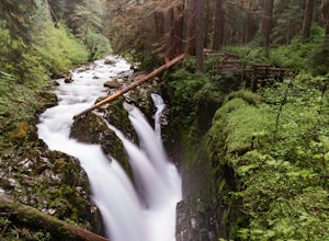
The hike to Sol Duc Falls is a simple 0.8 mile walk to a roaring falls on the Sol Duc River. If you’re up for more of a hike, continue on the trail to Deer Lake from Sol Duc Falls. At the fork in the trail, turn left and hike up away from the Lover's Lane Trail.
The trail steepens and the rocky ...
Read more
-
Port Angeles, Washington
5.0
19.93 mi
/ 5056 ft gain
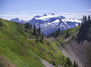
A day spent plying the trails of the High Divide in Olympic National Park changes an outdoorsman. This moderate to strenuous loop boasts the best views on the peninsula, a chance to see foraging black bears and abundant deer, stunning waterfalls and marvelous old growth forests. By the time you f...
Read more
-
Port Angeles, Washington
Olympic National Park Foothills Trail is an out-and-back trail where you may see beautiful wildflowers located near Port Angeles, Washington.
Read more
-
Port Angeles, Washington
5.0
7.12 mi
/ 2503 ft gain
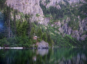
Lake Angeles is, rightfully, a popular day hike and overnight backpacking option, as its one of the larger, more accessible lakes in Olympic National Park. It can be done either as a moderate day hike with a refreshing swim and picnic lunch or a relaxing overnight with gorgeous views and reliable...
Read more
-
Port Angeles, Washington
To tackle the Wolf Creek Trail, you start by winding up Whiskey Bend Road just outside of Port Angeles, falling the curves and hills of Elwha River. The peaks of the Olympic Mountains stand in the distance.Once you approach a clearing and small parking area, you grab the gear and hit the trail. T...
Read more
-
Port Angeles, Washington
The Elwha River Trail cuts south into the heart of Olympic National Park along a densely forested valley, following the same route taken by some of the earliest explorers of the Olympic Peninsula at the end of the 19th century.
Past Port Angeles, at a hard curve in US-101, take Olympic Hot Sprin...
Read more
-
Port Angeles, Washington
5.0
4.52 mi
/ 840 ft gain
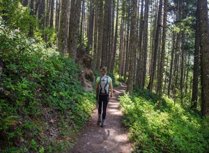
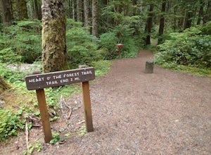
This hike is a short, 4.0 mile round trip, half-day or less hike, located just past the Hurricane Ridge entrance into Olympic National Park. Being relatively level and the trail head just off loop E of the Heart O' the Hills Campground, the Heart O' the Forest hike offers those looking for a tast...
Read more
-
Salt Spring Island, British Columbia
From the Fulford ferry terminal, turn left onto Morningside Drive and follow the road to the end, where you’ll find a small area to park your car. From here, head up towards the subdivision and keep an eye out for the trail marker on your left, located 100m past the gate into Reginald Hills Estat...
Read more
-
Port Angeles, Washington
4.8
3.13 mi
/ 689 ft gain
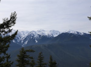
To get to this hike you drive up to Hurricane Ridge in Olympic National Park. The drive up to Hurricane Ridge is on a winding road with amazing views of the mountains. Once you reach the visitors center at Hurricane Ridge you can fill up water bottles or use the restroom. The trailhead for Hurric...
Read more

