Shirley, British Columbia
Looking for the best hiking in Shirley? We've got you covered with the top trails, trips, hiking, backpacking, camping and more around Shirley. The detailed guides, photos, and reviews are all submitted by the Outbound community.
Top Hiking Spots in and near Shirley
-
Shirley, British Columbia
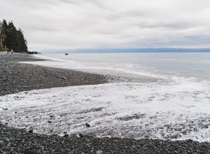
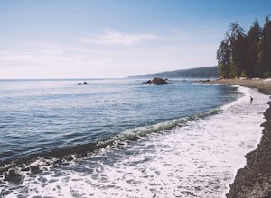
Beach Day at Sandcut Beach
The adventure begins during the rugged wooded hike from the gravel parking lot to the stunning beach (10 minutes). Once you reach the stone and pebble beach, plant yourself down to enjoy the 180 degree view of the Juan de Fuca Strait (and a picnic lunch if you’ve come prepared!).Head east to find...Read more -
Sooke, British Columbia
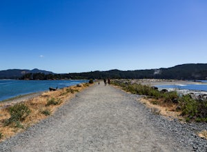
Hike Whiffin Spit
1.5 mi / 0 ft gainLocated in Sooke, between the Sooke Harbour and the Juan de Fuca Strait is Whiffin Spit Park. An easy 2.4km out and back trail with minimal elevation gain that you can walk to the end and back in about an hour. The dog-friendly gravel trail takes you down the spit to the end where you will find a...Read more -
Sooke, British Columbia
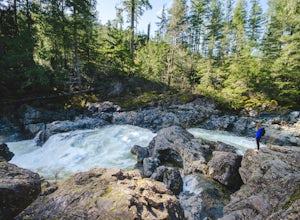
Hike and Swim at Sooke Potholes
4.2The Sooke Potholes seem to have something for everyone. Those seeking quick and easy beach access can enjoy short, well-groomed trails that lead straight to the pebble beaches from each of this spot’s multiple parking lots. There are also a number of paths leading to viewpoints overlooking the ri...Read more -
Port Renfrew, British Columbia
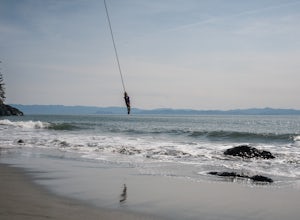
Hike to Mystic Beach
5.0Head west from Victoria along Highway 14 past Sooke and Jordan River until you see the Juan De Fuca Marine Trail - China Creek trailhead about 5km past Jordan River on the West Coast Road. Ample signage, parking, and outhouses are available here.The trail taking you to Mystic Beach is just one s...Read more -
Sooke, British Columbia
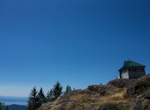
Hike Mount Manuel Quimper
The Sooke Hills is a geographic region of low hills with elevations between 350m (Mt. Wells) to a high of 682m (Mt. Empress), located in the area bounded on three sides by Highway 1 to the east, Highway 14 to the south and the Sooke River to the west. Though heavily logged 100+ years ago, in the ...Read more -
Sooke, British Columbia
Hike East Sooke Park
Sitting very close to the southernmost point of Vancouver Island, facing west towards the mouth of the Strait of Juan de Fuca and the open Pacific Ocean, East Sooke Park is a unique and magical place for a hike or trail run. Your first visit will spark the desire to keep returning, to keep explor...Read more -
Langford, British Columbia
Hiking the Goldmine Trail
4.52.2 mi / 295.3 ft gainGoldstream Provincial Park is just a short drive from Victoria. Within 20 minutes of leaving the city center, you can be immersed in an old growth temperate rain forest.From Victoria, take the Trans-Canada highway to the start of the Malahat. The Goldstream day use area is well marked. Stop here ...Read more -
Langford, British Columbia
Hiking Mt. Finlayson
4.0Mount Finlayson in Goldstream Provincial Park is 19 km north of Victoria on Hwy 1. The trail takes you up to a scenic lookout of Victoria. For the majority, this trail is quite easy, however, it gets slightly more challenging toward the end when the terrain gets steeper.Park at Goldstream Provinc...Read more -
Port Renfrew, British Columbia
Camp and Surf at Sombrio Beach
5.01 miHeading west from Victoria, take the TransCanada Highway to Hwy 14. Continue past Sooke towards Port Renfrew. Look for the sign that reads Sombrio Beach Trailhead (approximately 45 minutes past Sooke) and take the left. Note that this dirt road can be incredibly rugged (aka full of potholes) and ...Read more -
Port Renfrew, British Columbia
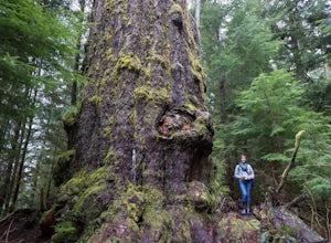
Hike to the Red Creek Fir
I’m blessed with a husband who is crazy enough to agree to my endless adventures! When I suggested we go find the tallest Douglas Fir Tree in the world, and we happened to be in the area, my husband again said, “why not!”For anyone who just has to see it for themselves, here’s some directions:Fo...Read more -
Victoria, British Columbia
Hike around Thetis Lake
4.51.9 mi / 196.9 ft gainTake Highway 1 west from Victoria. Turn onto Exit 10 (View Royal/Colwood) and continue on the Island Highway. Turn right at Six Mile Road, which leads straight to Thetis Lake Regional Park.Note that this park is also accessible by bike via the Galloping Goose Trail.With minimal elevation (~60m) a...Read more -
Port Angeles, Washington
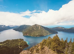
Spruce Railroad Trail
3.011.36 mi / 1138 ft gainThis versatile trail can adapt to your needs. It's can be an out-and-back hike, so you can make it as long as you like. If you do full distance, you are looking at an 8 mile day... OR, if you have two cars, you can park a car at either end of the trail and make it a 4 mile one-way hike. This des...Read more -
Duncan, British Columbia
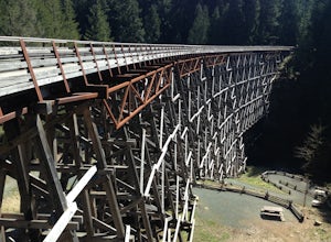
Explore the Kinsol Trestle
4.01.6 miThe Kinsol Trestle is a highlight of the Cowichan Valley Trail, which travels from Shawnigan Lake to Lake Cowichan and then onward to Duncan. The trestle is easily reached via a 1.3km, wheelchair accessible section of the CVT from the trailhead on Renfew Road. Originally built in 1911 for the r...Read more -
Victoria, British Columbia
Hike to Jocelyn Hill
4.05.75 mi / 1499 ft gainGowlland Tod is a beautiful park, running along the Finlayson Arm fjord. Jocelyn hill is in the middle of the park, and can be accessed from the Caleb Pike access at the South end (along the Ridge trail) or from the McKenzie Bight access at the North end (along the Timberman trail). With planning...Read more -
Port Angeles, Washington
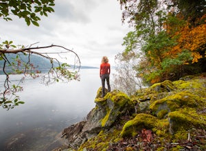
Camp at Fairholme Campground
3.0The campground is right at the very north end of Lake Crescent. It has bathroom and potable water, and for just $20 a night I think it is well worth it. Each campsite is equipped with a table and firepit (bring firewood). Open between May and October; first come first serve. As for activities, t...Read more -
Port Renfrew, British Columbia
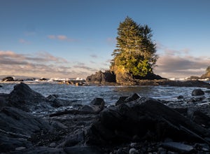
Hike the Botanical Beach and Botany Bay Loop
2.2 miThe loop trail is a short 3.5km trail that is well maintained and open year round. There's negligible elevation gain and aside from the odd slippery section the trail is easily accessible for all ages and skill levels. It is definitely busy in the Spring and Summer months but is manageable in the...Read more

