Sechelt, British Columbia
Top Spots in and near Sechelt
-
Nanaimo F, British Columbia
5.0
12.4 mi
/ 1000 ft gain
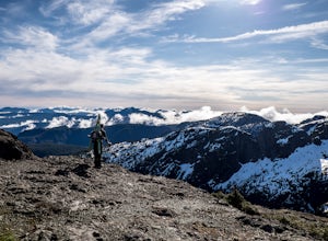
The trail from Cameron Lake to the top of Mount Cokely (5302') provides the most ready access to the alpine on Southern Vancouver Island. The route is straightforward and non-technical, albeit physically challenging. Expect to spend 6-8+ hours if hiking the entire route described below (which we ...
Read more
-
Errington, British Columbia
The starting point depends a lot on the time of year and snow level. On a bad snow year you can get all the way to the old ski area base. Depending on the road conditions, however, be prepared to snowshoe/skin in anywhere from an extra 3 to 5 km (2-3 mi). The Rousseau Chute route is an alternativ...
Read more
-
Belcarra, British Columbia
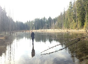
From the parking lot at Woodhaven Swamp, head down the wooden steps to the lower path and then follow the path clockwise, passing over a small boardwalk bridge at the east end of the wetland. At the west side of the swamp, look out for a smaller trail that veers off on the left and follow that as...
Read more
-
Hornby Island, British Columbia
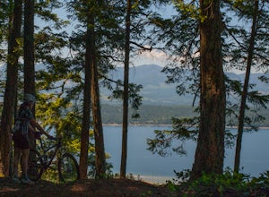
Hornby Island riding is almost too good to be true. The island itself is charming and laid-back – for its beaches and warm water swimming, it has been described as the Hawaii of the North.Furthermore, the centrally located Mt. Geoffrey is jam-packed with extremely fast, smooth, well graded trails...
Read more
-
Anmore, British Columbia
Buntzen Lake is located in a beautiful recreation area just north of Port Moody. Although the lake is man-made and maintained by BC Hydro, the surrounding area is full of forests, nice beach areas, and many trails for hiking including the Buntzen Lake Trail, which loops around the lake.Beginning ...
Read more
-
Anmore, British Columbia
This hike begins near the parking lot of Buntzen Lake. The trailhead will read "Halvor Lunden Trail,” named after the man who made it. This part of the trail is well marked, however as you continue along the loop it gets less and less worn, making things more difficult, but also more natural.The ...
Read more
-
Errington, British Columbia
Mt. Arrowmsith's claim to fame is the tallest mountain on "southern" Vancouver Island. Standing at 1,819 m (6,000 ft), it barely squeezes into the top 50 of the Island, as it stands no chance against the peaks of Strathcona, which you can see gazing north from the summit!The advantage of Arrowsmi...
Read more
-
Denman Island, British Columbia
Boyle Point Provincial Park is located on Denman Island British Columbia Canada. To get there you take the Denman Island Ferry from Buckley Bay off Hwy #19A on central Vancouver Island. Take the Buckley Bay exit #101 from Hwy #19A. Once on the island, follow Denman Road to the Hornby Island Ferry...
Read more
-
Errington, British Columbia
Mount Arrowsmith resides in the heart of Vancouver Island between Nanaimo and Tofino within the Alberni Valley region. At the height of 1817m this peak boasts being the tallest point on the southern half of the island. With it's easy access it is surely the most visited and summited mountain on t...
Read more
-
Powell River, British Columbia
The Sunshine Coast Trail is a 180-kilometre back country experience that encompasses 12 free cabins, 3 of which are winterized. The cabins are run by volunteers from the Powell River Parks and Wilderness Society (PRPAWS).Drive south on Highway 101 to Duck Lake Forest Service Road 3477 Br.1 and he...
Read more
-
Nanaimo F, British Columbia
This park is a great stop right on the side of highway 4 heading to or from the Tofino area. If you are heading to Tofino on Vancouver Island, this park is hard to miss. There are signs for it and easy parking on the side of the highway. There are two loop trails on either side of the highway, an...
Read more
-
Delta, British Columbia
You can walk on or take your car on the ferry. Either way gets you to the same views. Make sure you sit on the right side of the boat (and it sometimes turns around once leaving the dock). Set up on the upper deck, and prepare yourself for an unbelievable show. Make sure you check out the onboard...
Read more
-
Duncan, British Columbia
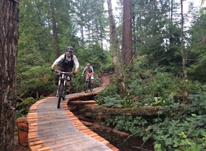
The Maple Mountain trail network has been enjoyed for countless years by hikers, but not until recently did the mountain receive the attention it deserved for mountain biking. Over the last few years the Cowichan Trail Stewardship Society in conjunction with the approval of the local municipality...
Read more
-
Delta, British Columbia
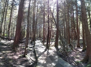
As you begin your journey into Burns Bog Delta Nature Reserve from the parking lot and small trail coming off of Westview Drive, notice the gravel trail ahead of you and across the train tracks that will take you into the bog itself and take a left. After spending a few minutes on the straight tr...
Read more
-
Whistler, British Columbia
5.0
19 mi
/ 5708.7 ft gain
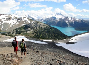
This is a very challenging trail! If you are going to carry in a backpack for an overnight hike, you should have a good level of fitness. For a day hike, the trail is nearly 30km long, so still a good level of fitness is required. The trail isn’t technically challenging, but it is up in the alpin...
Read more
-
Whistler, British Columbia
5.0
18.6 mi
/ 5700 ft gain
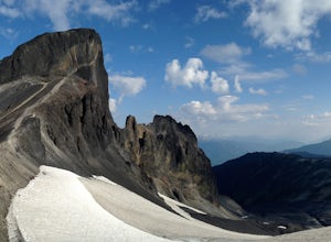
The Black Tusk is a distinctive landmark just south of Whistler (the remnants of an old volcano). There is nothing else like it, and it is visible from all over the Sea to Sky area.Depending on your experience and fitness level, you can either: climb right to the top of the Tusk (expert hiking/sc...
Read more

