Sechelt, British Columbia
Looking for the best photography in Sechelt? We've got you covered with the top trails, trips, hiking, backpacking, camping and more around Sechelt. The detailed guides, photos, and reviews are all submitted by the Outbound community.
Top Photography Spots in and near Sechelt
-
Parksville, British Columbia
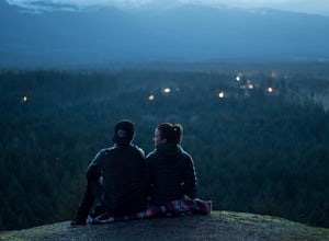
Catch a Sunset from Little Mountain Lookout
3.51 mi / 0 ft gainAmazing lookout just outside of Parksville, British Columbia. From Parksville, drive towards Coombs and turn left off of Bellevue Rd. Then take the left onto Little Mountain Road and drive to the top parking lot. You can park at the bottom of the hill and run up the steep incline in case your car...Read more -
West Vancouver, British Columbia
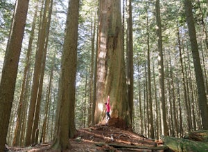
Hike Up Brothers Creek Loop
4.3 mi / 1312.3 ft gainThe directions to get to this location are a bit scattered as you need to weave through the upper streets of the British Properties. Driving Instructions If you are coming along Highway #1, take the Taylor Way exit and turn right (coming from the east) or left (coming from the west) onto Taylor W...Read more -
Vancouver, British Columbia
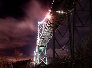
Photograph the Lions Gate Bridge
3.7Park at the parking lot at Prospect point in Stanley Park to begin your photography adventure. The first photo opp is from the walkway on the Lions Gate, at about the middle of the bridge and looking to the left towards the Seawall. This is the perfect sunset spot.Once it gets dark, head to the b...Read more -
Britannia Beach, British Columbia
Hike and Climb the Chief
4.56.8 mi / 1968.5 ft gainIf you are hiking this spot, you can do so even as a beginner so long as you have a good fitness level. I’ve seen people do this in jeans and dress shoes, although they are crazy. Wear some hikers and prepare to get your sweat on. There are three peaks, first is the most popular, second has the b...Read more -
North Vancouver, British Columbia
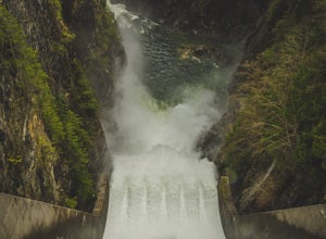
Photograph the Cleveland Dam
4.0Once you park in the parking lot near the dam, its fairly easy to tell where it is, and how to get there. The awesome spillway looks like one of the worlds most dangerous slides, (don't slide down it), and Capilano Lake and the peaks of the Lions make for a great backdrop in North Vancouver. Ph...Read more -
Sea to Sky Gondola, British Columbia
Scramble Sky Pilot
4.010 mi / 3800 ft gainSky Pilot Mountain is the highest peak past Stawamus Chief, Squamish's famous vertical rock face. Luckily, the rock just beyond the Chief is just as beautiful and reliable for climbers, hikers, and scramblers looking to stretch their legs and challenge their vertigo limits on an exposed, thrillin...Read more -
Squamish, British Columbia
Hike Al's Habrich Trail
3.07.4 mi / 3130 ft gainWe arrived at the Sea to Sky Gondola in the early morning and rode up to the top in the gondola to where the trailhead was. Once at the top there was a gift shop and a suspension bridge with a wooden viewing platform. The trail goes to the left of the complex down an old logging road. It is well ...Read more -
Squamish, British Columbia
Snowshoe Al's Habrich Trail
3.7 mi / 1312.3 ft gainStrap on your snowshoes and head up to the Sea to Sky Gondola in Squamish, about a 45 minute drive from Vancouver. You can either take the gondola up (~$40), or hike up the Sea to Sky Summit trail that begins near the parking lot to the chief to get to the trailhead for Al's Habrich. If doing the...Read more -
North Vancouver, British Columbia
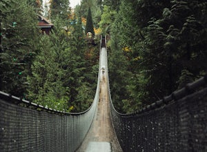
Explore the Capilano Suspension Bridge
3.8This is a great place to visit to get a feeling for the outdoors of Canada. The bridge is a little scary when a lot of people are walking across, but it is well worth the look.Measuring 140 m (460 ft) long, the bridge crosses over the Capilano River in the District of North Vancouver, British Col...Read more -
Squamish, British Columbia
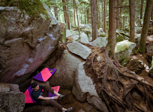
Boulder at the Stawamus Chief
There's so much climbing to be done here -- sport, trad, bouldering! If you're bouldering, it is always shady and cool so bring a light jacket. Most popular season to climb here is in the summer. *If you're visiting from out of town...Need to rent a crash pad or two?There are a few outdoor stores...Read more -
Errington, British Columbia
Hike through Englishman River Falls Provincial Park
4.31.9 miThis is an easy 3 km or so hike that you can meander along and enjoy the lush greenery and the two waterfalls. The lower waterfalls is best viewed in the spring or winter. When summer comes the river gets lower and in turn that waterfall gets hard to see. Although, when the water levels are low y...Read more -
Errington, British Columbia
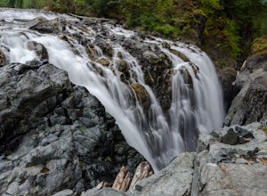
Hike to BC's Englishman River Falls
1.9 miSituated amid a quiet forest of both old and new growth Douglas firs, cedar, hemlock, and maple, the Englishman River Falls consist of two waterfalls which cascade into a deep canyon beneath a secluded bridge. Perfect for intermediate hikers, day-trippers, photographers and curious tourists, this...Read more -
Squamish, British Columbia
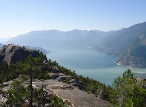
Hike the First Peak of the Stawamus Chief
2.5 mi / 1600 ft gainJust a short drive up the Sea to Sky Highway is one of my favorite hikes near Vancouver. There are two options; the hike to first peak, or the hike to second and third peak. First Peak brings you to an epic view over Sqawmish, the Sea to Sky, and the Pacific Ocean. It is a perfect hike for those ...Read more -
Squamish, British Columbia
Hike Second and Third Peak of Stawamus Chief
4 mi / 2000 ft gainJust a short drive up the Sea to Sky Highway is one of my favorite hikes near Vancouver. There are two options; the hike to first peak or the hike to second and third peak. Second Peak brings you to an epic view over Sqawmish, the first peak of the Chief, the Sea to Sky Highway, and the Pacific O...Read more -
Powell River, British Columbia
Backcountry Hike and Hut Camp the Northern Portion of the Sunshine Coast Trail
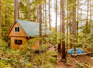
31.1 mi / 3937 ft gainThis adventure is a 50km backcountry hiking and camping trip and should not be attempted without prior backcountry experience. It is recommended you attempt this trail in a group. Below is a detailed description of how to get to the trail and your options for huts while on the trail:The Sunshin...Read more -
North Vancouver, British Columbia
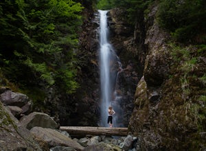
Hike to Norvan Falls
4.38.7 miThe trail starts in Lynn Headwaters Regional Park. This is a fantastic day hike that give you just enough of a challenge but isn't too long. It's about 14km to the norvan waterfalls and back ( 7km each way) and it totally work the walk. There is very minimal gain on this hike. The first bit of th...Read more

