Sea to Sky Gondola, British Columbia
Looking for the best photography in Sea to Sky Gondola? We've got you covered with the top trails, trips, hiking, backpacking, camping and more around Sea to Sky Gondola. The detailed guides, photos, and reviews are all submitted by the Outbound community.
Top Photography Spots in and near Sea to Sky Gondola
-
Sea to Sky Gondola, British Columbia
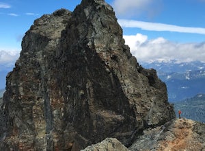
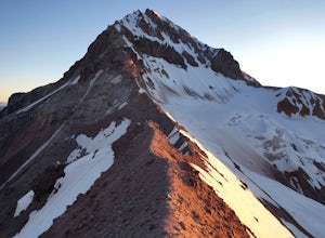
Scramble Sky Pilot
4.010 mi / 3800 ft gainSky Pilot Mountain is the highest peak past Stawamus Chief, Squamish's famous vertical rock face. Luckily, the rock just beyond the Chief is just as beautiful and reliable for climbers, hikers, and scramblers looking to stretch their legs and challenge their vertigo limits on an exposed, thrillin...Read more -
Squamish, British Columbia
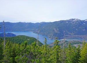
Hike Al's Habrich Trail
3.07.4 mi / 3130 ft gainWe arrived at the Sea to Sky Gondola in the early morning and rode up to the top in the gondola to where the trailhead was. Once at the top there was a gift shop and a suspension bridge with a wooden viewing platform. The trail goes to the left of the complex down an old logging road. It is well ...Read more -
Squamish, British Columbia
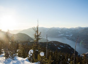
Snowshoe Al's Habrich Trail
3.7 mi / 1312.3 ft gainStrap on your snowshoes and head up to the Sea to Sky Gondola in Squamish, about a 45 minute drive from Vancouver. You can either take the gondola up (~$40), or hike up the Sea to Sky Summit trail that begins near the parking lot to the chief to get to the trailhead for Al's Habrich. If doing the...Read more -
Britannia Beach, British Columbia
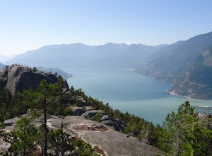
Hike and Climb the Chief
4.56.8 mi / 1968.5 ft gainIf you are hiking this spot, you can do so even as a beginner so long as you have a good fitness level. I’ve seen people do this in jeans and dress shoes, although they are crazy. Wear some hikers and prepare to get your sweat on. There are three peaks, first is the most popular, second has the b...Read more -
Squamish, British Columbia
Boulder at the Stawamus Chief
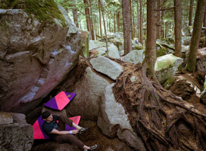
There's so much climbing to be done here -- sport, trad, bouldering! If you're bouldering, it is always shady and cool so bring a light jacket. Most popular season to climb here is in the summer. *If you're visiting from out of town...Need to rent a crash pad or two?There are a few outdoor stores...Read more -
Squamish, British Columbia
Hike the First Peak of the Stawamus Chief
2.5 mi / 1600 ft gainJust a short drive up the Sea to Sky Highway is one of my favorite hikes near Vancouver. There are two options; the hike to first peak, or the hike to second and third peak. First Peak brings you to an epic view over Sqawmish, the Sea to Sky, and the Pacific Ocean. It is a perfect hike for those ...Read more -
Squamish, British Columbia
Hike Second and Third Peak of Stawamus Chief
4 mi / 2000 ft gainJust a short drive up the Sea to Sky Highway is one of my favorite hikes near Vancouver. There are two options; the hike to first peak or the hike to second and third peak. Second Peak brings you to an epic view over Sqawmish, the first peak of the Chief, the Sea to Sky Highway, and the Pacific O...Read more -
Whistler, British Columbia
Hike to Elfin Lakes, BC
4.713.7 mi / 1968.5 ft gainTo access the trail head you will have to drive a few kilometres up a pretty beat up service road, so SUV's and 4x4 are a must but it can be done in a regular car if you take it easy. Lots of pot holes and loose rocks.The hike to Elfin Lakes might be 11km each way, but it is not very steep and is...Read more -
Whistler, British Columbia
Hike to Little Diamond Head
22 mi / 5900 ft gainGiven the total distance and cumulative elevation gain of this hike, I would suggest a good level of fitness to reach the summit. The trail does not have any technical challenges and the elevation gain is gradual. The final kick up to the summit involves some loose scree and minor exposure depend...Read more -
Whistler, British Columbia
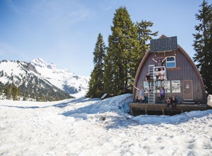
Camp Out at Elfin Lakes Hut
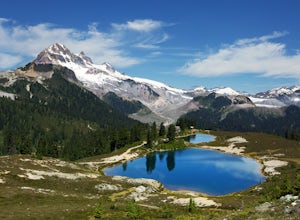
15 mi / 1900 ft gainThe cabin at Elfin Lakes is a beautiful well maintained shelter in the heart of the Garibaldi Provincial Park. It is nuzzled between two lakes (one for drinking water, and the other a swimming hole), and the Gargoyle Peaks. The cabin itself is fully stocked with 8 gas burners, tables, a fireplac...Read more -
Squamish-Lillooet D, British Columbia
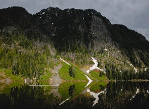
Hike to Watersprite Lake
5.08.9 mi / 2772.3 ft gainThe trailhead starts at an old service road and follows it for around 3 km until the trail turns left, off the old service road. Watch for flagging tape as this turn is often missed. Once off the service road, the trail immediately goes down and winds through a meadow with beautiful lakes and ama...Read more -
Squamish-Lillooet D, British Columbia
Hike to Deeks Lake
3.07.5 mi / 3280.8 ft gainBegin the Deeks Lake trail at the Lions Bay parking lot (same entrance as the Howe Sound Crest Trail) just off of Highway 99 North. The pullout is right before Porteau Cove Provincial Park. Begin by walking past the yellow gate and taking an immediate right into the trail where you will begin y...Read more -
Lions Bay, British Columbia
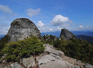
Scramble to the Summit of the West Lion via the Binkert Trail
5.010 mi / 5400 ft gainFind parking in a small gravel lot and be careful to park to the left of the sign, as cars do get towed in this area. Cross through the yellow road gate and begin by ascending the gravel road that provides moderate switchbacks before reaching a junction with the Mount Harvey trail, and keep right...Read more -
Squamish-Lillooet D, British Columbia
Hike to Crooked Falls
4.04 mi / 1400 ft gainThe trail to Crooked Falls starts at the Sigurd Creek Trail. The coordinates are: N49.910556, W-123.322817. It is a scenic dive just past the Squamish city center and the Squamish River. Once at the trail head you'll walk across a bridge over Sigurd Creek and follow the logging road for a couple...Read more -
Whistler, British Columbia
Hike to High Falls Creek, BC
5.05.3 mi / 1719.2 ft gainThis is a great hike with varied terrain. From a flat meandering path to steep, scramble sections with chains and braided ropes. The must-see attraction on this trail is the thunder force of tumbling water heard throughout the day as you hike along a steep walled canyon.You have the option of par...Read more -
Bowen Island, British Columbia
Snowshoe to Black Mountain and Eagle Bluffs
5.6 mi / 1312.3 ft gainEagle Bluffs is a perfect hike for anyone looking to get away but not too far from the city! Your trip will start by grabbing your (free) backcountry pass from the Black Mountain lodge in the lower parking lot at the top of cypress bowl road. This is not the main lodge (Cypress Creek Lodge), but ...Read more

