Salt Spring Island, British Columbia
Top Spots in and near Salt Spring Island
-
Lions Bay, British Columbia
Find parking in a small gravel lot and be careful to park to the left of the sign, as cars do get towed in this area. Cross through the yellow road gate and begin by ascending the gravel road that provides moderate switchbacks before reaching a junction with the Mount Harvey trail, and keep right...
Read more
-
Anacortes, Washington
To start this hike, jump on trail 215 for a short distance of about a 1/4 mile. From here, continue until you cross trail 320 and head left onto it. Stay on 320 until you come across trail 230.Take 230 uphill (resembles an old fire road) toward the ravine just above a creek. From here, head onto ...
Read more
-
Anacortes, Washington
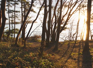
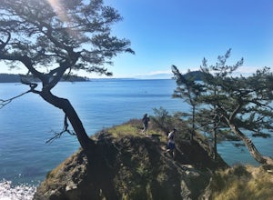
Starting at the parking area, there is a roughly 2 mile hike through the woods. Depending on which route you take, you will suddenly end up at one of many incredible view points looking West at the Olympic Mountains, open ocean, and the San Juan Islands. In some areas you will be about 150 feet a...
Read more
-
Lions Bay, British Columbia
5.0
8.75 mi
/ 5100 ft gain
Driving north from Vancouver along the Sea to Sky Highway (HWY 99) turn off at Lions Bay exit and park at the end of Sunset Dr.N 49.470653225392105, -123.23479324579239 WThe trail begins on a gravel service road which winds up for 30 minutes. Take a left at the fork where a sign on the tree reads...
Read more
-
Port Renfrew, British Columbia
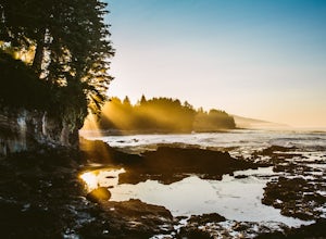
This is a gorgeous beach with so much going on. It's a quick walk from the parking lot (about .8 miles), or you can do the entire Botanical Beach Loop which is 3.5km. Go at low tide for amazing tidal pools and exploring caves if the tide is at its lowest. You can beach hop and climb up to some...
Read more
-
Port Angeles, Washington
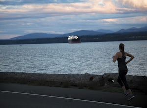
Ediz Hook or as locals call it, "the Spit" is a 3 mile long sand spit that extends out from Port Angeles along the Juan De Fuca. The views of the surrounding mountains and Vancouver Island, the marine life, beaches, and picnic areas make this a prime spot for a memorable run.
We parked at the lo...
Read more
-
Bellingham, Washington
On Chuckanut Drive (State Route 11) pull off onto a small, unmarked, one-way road that offers parking for Teddy Bear Cove before quickly rejoining the road. There is space to pull over on the road for approximately 15-20 cars. If you are heading North to South, the road is on your right, if headi...
Read more
-
North Vancouver, British Columbia
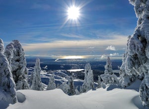
You'll see traction of all sorts in the Mt. Seymour area during Winter months, including: yak tracks, microspikes, crampons, snowshoes, skis (with and without skins), and my personal favourite, the magic carpet.The Mt. Seymour trail parallels the Seymour downhill ski area. It follows up and over...
Read more
-
Sechelt, British Columbia
Set off from Sechelt, a small seaside community on the Sunshine Coast - about two hours from Vancouver which is accessed by ferry or float plane.As soon as you start paddling from the harbour in Sechelt, the calm waters are so clear that starfish and other marine life are easily visible beneath t...
Read more
-
Anacortes, Washington
5.0
2.12 mi
/ 259 ft gain
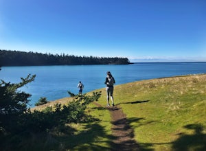
Starting from the Rosario Beach parking lot, the trail heads out past a large recreation area for families and into a wooded area leading up to Rosario Head. At this point in the trail there are beaches on either side that provide a great opportunity to explore some tidal pools. If you choose to...
Read more
-
Bellingham, Washington
Take Chuckanut Drive to the trailhead which is located directly across from the entrance to Larrabee State Park. A small lot in front of the trail has space for 8-10 cars, or you can park at the State Park and walk across the road (carefully!) to reach the trailhead. Either way you will need a Di...
Read more
-
Oak Harbor, Washington
THE TRAIL: On the north side of the bridge, you'll come across Rosario Rd. Take this down to the Bowman Bay parking lot and your trailhead begins here. Take a moment to walk out on the fishing pier or watch what people are catching before you continue south on the trail towards Lottie Bay/Lightho...
Read more
-
4399 Bowman Bay Road, Washington
The Lighthouse Point Trail is yet another offshoot of Deception Pass Park’s wonderful trail system, which weaves itself through the northern corners to the southern ends of the park’s expansive walking paths. Perfect for families and for adventurers just getting their hiking legs warmed up for th...
Read more
-
15671 Rosario Road, Washington
One of the best routes to add to your itinerary when exploring Deception Pass State Park, one of Washington’s most popular year-round camping, hiking, and kayaking destinations; The Lottie Point Loop trail is a great offshoot of a larger trail system that takes you across soaring cliffsides and a...
Read more
-
Errington, British Columbia
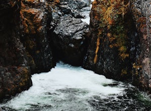
This is an easy 3 km or so hike that you can meander along and enjoy the lush greenery and the two waterfalls. The lower waterfalls is best viewed in the spring or winter. When summer comes the river gets lower and in turn that waterfall gets hard to see. Although, when the water levels are low y...
Read more
-
Errington, British Columbia
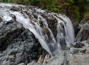
Situated amid a quiet forest of both old and new growth Douglas firs, cedar, hemlock, and maple, the Englishman River Falls consist of two waterfalls which cascade into a deep canyon beneath a secluded bridge. Perfect for intermediate hikers, day-trippers, photographers and curious tourists, this...
Read more

