Mount Currie, British Columbia
Looking for the best hiking in Mount Currie? We've got you covered with the top trails, trips, hiking, backpacking, camping and more around Mount Currie. The detailed guides, photos, and reviews are all submitted by the Outbound community.
Top Hiking Spots in and near Mount Currie
-
Whistler, British Columbia
Hike to Rainbow Lake
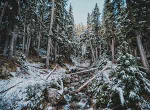
5.09.9 mi / 2788.7 ft gainWith a low elevation to start you'll be greeted with a mossy canopy of luscious wilderness. As you venture deeper through the trail you can notice the wilderness progress to a sub-alpine climate and here you'll be pleasantly surprised by snow tipped pines & surroundings. The Rainbow Trail is ...Read more -
Whistler, British Columbia
Snowshoe the Rainbow Lake Loop
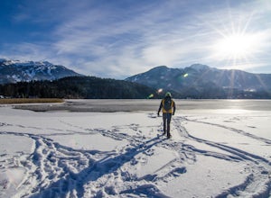
6 mi / 400 ft gainIn Whistler Village, stop by the information booth and get one of the maps that has the mountain bike paths on it. This will be your map of all the different snowshoeing options in the area, and any of the trails are sure to take you on a fun adventure.From Whistler Village make your way to Rainb...Read more -
Pemberton, British Columbia
Tenquille Lake
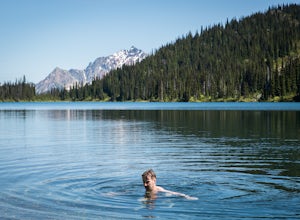
14.99 mi / 3373 ft gainTenquille Lake is the perfect spot to head from Vancouver if you have the time for a long drive and are looking for a people-less adventure. The hike is a manageable 24km round trip with a 1,000m elevation gain that takes you through wildflower meadows, lush forest, and past some stunning views...Read more -
Squamish-Lillooet C, British Columbia
Backpack to Semaphore Lakes
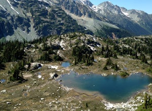
3.1 mi / 1000 ft gainHow does a series of sparkling blue alpine lakes, beautiful mountains, a huge waterfall, glacier and uncrowded camping sound to you? For me, the area around Semaphore Lakes has been one of my favorite destinations for quite a while. It has some of the best camping you could hope for, and two incr...Read more -
Whistler, British Columbia
Explore Whistler Mtn in the Off-Season
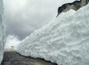
Whistler Mountain is a world class ski destination in winter and a biking paradise in summer, but if you happen to be here in spring or fall, there's a whole other world of magic to enjoy. The access road is cut with machinery in early spring once the mountain has closed for the ski season, and a...Read more -
D'Arcy, British Columbia
Seton Lake Lookout
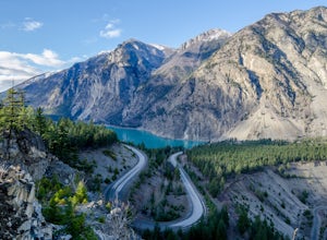
4.80.78 mi / 259 ft gainOn highway 99 (Duffy Lake Road) just outside of Lillooet there is Seton Lake which is so very picturesque in its own way. It's turquoise coloured and surrounding it are cliffs and desert-like mountains. To get to the stunning view point there is a big pull out just before the last switch back on...Read more -
Whistler, British Columbia
Backpack Helm Creek
11.2 mi / 3000 ft gainStart your drive by driving up the Cheakamus Lake forestry road to the parking lot (approximately 7km up the road). From the parking lot, start walking down the trail towards Cheakamus lake. About 2km down the trail, you will see a sign post indicating that you can continue straight to Cheakamus...Read more -
Whistler, British Columbia
Hike to Helm Lake
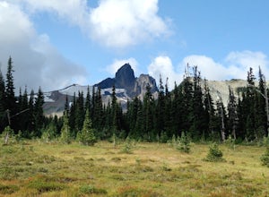
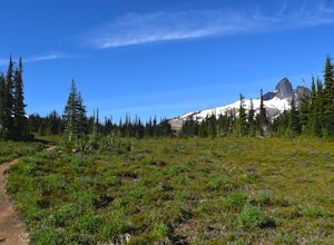
4.012.4 mi / 3000 ft gainHelm Lake is a sparkly body of water tucked into one of the most scenic alpine meadows around. The lake sits on a lava field, just under the Black Tusk, with the unique volcanic remains of Cinder Cone and Helm Peak on the opposite side of the meadow.The big draw for this hike is that it's far les...Read more -
Whistler, British Columbia
Hike the Cinder Flats in Garibaldi Park
5.0Enter from the Cheakamus Lake side, which mean a steady climb up the Helm Creek Trail, but you won't battle the crowds coming up the Rubble Creek side. Plan for a full day in the mountains - it's ~25k total with quite a bit of climbing in the beginning. Bring lots of water, as it can get pretty h...Read more -
Whistler, British Columbia
Hike to the Whistler Train Wreck
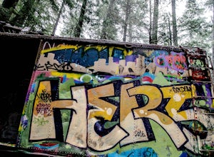
4.33.1 mi / 50 ft gainThe hike to the train wreck in Whistler changed significantly on September 1st, 2016. The town of whistler installed a suspension bridge over the Cheakamus river, allowing hikers to access the site from the whistler athletes centre, down a well maintained path. There are two options to get to the...Read more -
Whistler, British Columbia
Explore the Cheakamus Forest on Snowshoes
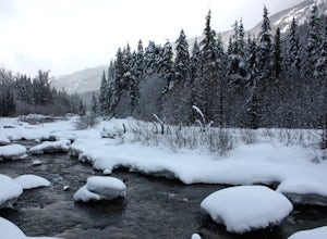
5.03.1 miSnowshoeing is one of the best ways to experience true solitude in the beautiful snowy mountain landscape. The area surrounding the Cheakamus Crossing neighbourhood of Whistler has some of the very best low elevation snowshoeing in the valley.Riverside and Suspension Bridge Loop:A great 5km loop ...Read more -
Whistler, British Columbia
Hike the Cheakamus Lake Trail
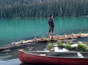
3.58.7 miCheakamus Lake is tucked in behind Whistler Mountain. If you've hike the Musical Bumps trail, or any of the paths off the peak of Whistler, chances are you saw a huge turquoise lake below you. This is Cheakamus Lake.From Whistler Village, drive south on HWY99 to the stop lights at Function Juncti...Read more -
Lillooet, British Columbia
Drive the Molybdenite Ridge
5.012.4 miStarting at the Lytton Cable Ferry the gravel road begins. You are immediately greeted with views of the iconic Fraser River and local mountains. After approximately 40 km on the road, you turn onto Texas Creek FSR and follow this for 7 km before turning onto Molybdenite Main. This road takes you...Read more -
Whistler, British Columbia
Paddle Callaghan Lake
5.0The South Coast Mountains are full of high elevation alpine lakes. There are a few of considerable size (Garibaldi Lake, Duffey Lake, Lake Lovely Water, etc) and Callaghan Lake is one of them. This huge silvery lake sits up in the beautiful Callaghan Valley, a destination for ski touring, snowsho...Read more -
Whistler, British Columbia
Hike Cirque Lake
4.05 mi / 984.3 ft gainCirque Lake can only be accessed by boating across Callaghan Lake. Start from the Callaghan parking/camping area and take your boat over to the lake. You must then paddle 2km all the way to the far end of Callaghan Lake. You will see a waterfall at the far end. The trailhead to Cirque Lake begins...Read more -
100 Mile House, British Columbia
Hike to Red Rock Lookout
4.02.2 mi / 1700 ft gainThe trail starts on a gravel road going up towards a water tower. A doubletrack trail takes off to the right and up the hill as you near the water tower. Take the this trail and this can be followed all the way up to the red rock view point. There are several, steeper, narrower trails branching o...Read more

