Mayne Island, British Columbia
Looking for the best hiking in Mayne Island? We've got you covered with the top trails, trips, hiking, backpacking, camping and more around Mayne Island. The detailed guides, photos, and reviews are all submitted by the Outbound community.
Top Hiking Spots in and near Mayne Island
-
Bow, Washington
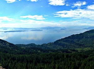
Oyster Dome via Chuckanut Trail
4.36.57 mi / 1857 ft gainThe trail begins on the Pacific Northwest Trail, which ascends quickly up the side of Blanchard Mountain. The trail contains several switchbacks which wind through second-growth alder, Western red cedar, and Douglas fir forest. After about one mile there is an overlook with a bench that offers a...Read more -
Nanaimo, British Columbia
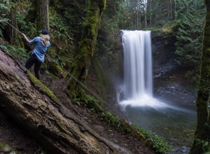
Hike to Ammonite Falls
4.82.69 mi / 558 ft gainThe falls cascades off of a sheet of rock that is filled with Ammonite fossils, thus the name Ammonite Falls! The trailhead is very distinct and has a parking lot close to the start of the trail. From the Nanaimo Parkway (#19) head onto Jingle Pot Road. Follow that for a few kilometres and turn ...Read more -
Lions Bay, British Columbia
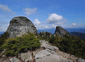
Scramble to the Summit of the West Lion via the Binkert Trail
5.010 mi / 5400 ft gainFind parking in a small gravel lot and be careful to park to the left of the sign, as cars do get towed in this area. Cross through the yellow road gate and begin by ascending the gravel road that provides moderate switchbacks before reaching a junction with the Mount Harvey trail, and keep right...Read more -
Lions Bay, British Columbia
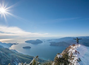
Hike Mt. Brunswick
5.08.75 mi / 5100 ft gainDriving north from Vancouver along the Sea to Sky Highway (HWY 99) turn off at Lions Bay exit and park at the end of Sunset Dr.N 49.470653225392105, -123.23479324579239 WThe trail begins on a gravel service road which winds up for 30 minutes. Take a left at the fork where a sign on the tree reads...Read more -
Shirley, British Columbia
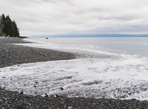
Beach Day at Sandcut Beach
The adventure begins during the rugged wooded hike from the gravel parking lot to the stunning beach (10 minutes). Once you reach the stone and pebble beach, plant yourself down to enjoy the 180 degree view of the Juan de Fuca Strait (and a picnic lunch if you’ve come prepared!).Head east to find...Read more -
Port Renfrew, British Columbia
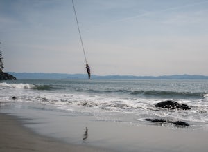
Hike to Mystic Beach
5.0Head west from Victoria along Highway 14 past Sooke and Jordan River until you see the Juan De Fuca Marine Trail - China Creek trailhead about 5km past Jordan River on the West Coast Road. Ample signage, parking, and outhouses are available here.The trail taking you to Mystic Beach is just one s...Read more -
Port Renfrew, British Columbia
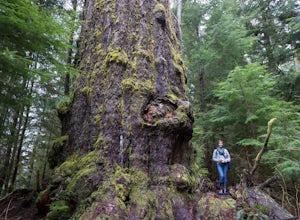
Hike to the Red Creek Fir
I’m blessed with a husband who is crazy enough to agree to my endless adventures! When I suggested we go find the tallest Douglas Fir Tree in the world, and we happened to be in the area, my husband again said, “why not!”For anyone who just has to see it for themselves, here’s some directions:Fo...Read more -
Pitt Meadows, British Columbia
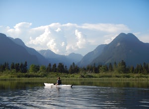
Paddle Pitt Lake to Widgeon Falls
5.03.7 miThe 12km (7.5 mi) drive on Neaves Road to Pitt Lake from Pitt Meadows is one of BC's most scenic routes. As soon as you start this section of the drive you already feel miles from the city, but this route is only 30-45 minutes from Vancouver, depending on city traffic.Once you reach the parking l...Read more -
Maple Ridge, British Columbia
Stroll along the Spirea Nature Trail
3.01.5 mi / 0 ft gainAn hour outside of downtown Vancouver lies the beautiful 150,000 acre Provincial Park of Golden Ears. The park has a myriad of hikes and adventures all with varying degrees of difficulty. The Spirea Nature Trail likely clocks in as one easiest amongst the dozens within the park. However, don’t le...Read more -
Sequim, Washington
Hike Dungeness Spit
3.511 mi / 130 ft gainPark at a the north side of the Dungeness Spit Recreation Area, in the Refuge parking lot. There is a kiosk at the Refuge where you can pay an entrance fee ($3) and check the Tide Table. Only attempt the hike at low tide or the sand spit becomes narrow and you have to climb over logs.Follow the R...Read more -
Squamish-Lillooet D, British Columbia
Hike to Deeks Lake
3.07.5 mi / 3280.8 ft gainBegin the Deeks Lake trail at the Lions Bay parking lot (same entrance as the Howe Sound Crest Trail) just off of Highway 99 North. The pullout is right before Porteau Cove Provincial Park. Begin by walking past the yellow gate and taking an immediate right into the trail where you will begin y...Read more

