Mayne Island, British Columbia
Looking for the best hiking in Mayne Island? We've got you covered with the top trails, trips, hiking, backpacking, camping and more around Mayne Island. The detailed guides, photos, and reviews are all submitted by the Outbound community.
Top Hiking Spots in and near Mayne Island
-
Bellingham, Washington
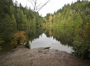
Hike to Fragrance Lake
4.75.5 mi / 950 ft gainTake Chuckanut Drive to the trailhead which is located directly across from the entrance to Larrabee State Park. A small lot in front of the trail has space for 8-10 cars, or you can park at the State Park and walk across the road (carefully!) to reach the trailhead. Either way you will need a Di...Read more -
North Vancouver, British Columbia
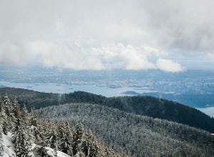
Hike Goat Mountain
4.05 mi / 984.3 ft gainGoat Mountain is a picturesque hike that starts from the top of the Grouse Mountain Ski Resort. On a sunny, clear day, the top of Goat Mountain can offer views of Vancouver and even as far away as Mount Baker, Vancouver Island, and some of the mountain ranges in Garibaldi Provincial Park near Squ...Read more -
West Vancouver, British Columbia
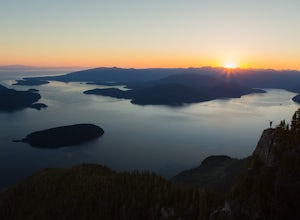
St Mark's Summit
4.46.45 mi / 1801 ft gainFrom the Cypress Mountain downhill parking lot, head north toward the nearby chairlift and look for the Howe Sound Crest Trail sign. The trail follows alongside the several ski runs until a sign that points to the right to the Howe Sound Crest Trail. Follow this trail uphill until it merges onto ...Read more -
West Vancouver, British Columbia
Hiking the Howe Sound Crest Trail
18 mi / 6000 ft gainDistance: 18 miles / 29 kms.Duration: 1 - 3 DaysElevation Gain: 6000 ft. / 1800 m.Magnesia Meadows: 49.483708, -123.190377The Howe Sound Crest Trail (HSCT) is one of the most epic hiking trips one can do in the Vancouver area. The trail is entirely located within the Cypress Mountain Provincial P...Read more -
West Vancouver, British Columbia
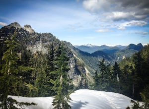
Snowshoe to St. Mark's Summit
1.08 mi / 1500 ft gainIf you are looking for the perfect snowshoe adventure you've found the right place. St. Marks is located on Cypress Mountain. It is more difficult than the nearby Hollyburn, and sometimes inaccessible due to heavy snow. For those two reasons makes it the most secluded hike just minutes from downt...Read more -
Bowen Island, British Columbia
Hike Eagle Bluffs
5.05 mi / 1148.3 ft gainStart at the Cypress Mountain ski area and walk towards the first chairlift. You will see a giant sign showing the ski trails and you go to the right of that. You will then see a post that lists which direction to go for each hike.To start this trail, walk towards the previously mentioned chair ...Read more -
Bowen Island, British Columbia
Hike to Mt. Strachan
4.03.7 mi / 1804.5 ft gainOn November 23, 1963, the world was faltered by the news of John F. Kennedy’s assassination (the previous day). Vancouver was dealing with it's own tragedy; a military plane crash in the North Shore Mountains. The hike to Mt. Strachan gives you the opportunity to visit the crash site.The Mount St...Read more -
West Vancouver, British Columbia
Bowen Lookout
4.02.48 mi / 443 ft gainThe trailhead is located just off the Cypress Mountain lodge. It winds past old growth forest, and the Yew Lake Meadows. After passing these features the trail turns into a series of switchbacks, gaining the elevation in the last 850m of trail. Before you know it you are rewarded with a beautif...Read more -
Bowen Island, British Columbia
Snowshoe to Black Mountain and Eagle Bluffs
5.6 mi / 1312.3 ft gainEagle Bluffs is a perfect hike for anyone looking to get away but not too far from the city! Your trip will start by grabbing your (free) backcountry pass from the Black Mountain lodge in the lower parking lot at the top of cypress bowl road. This is not the main lodge (Cypress Creek Lodge), but ...Read more -
Sooke, British Columbia
Hike East Sooke Park
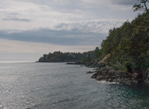
Sitting very close to the southernmost point of Vancouver Island, facing west towards the mouth of the Strait of Juan de Fuca and the open Pacific Ocean, East Sooke Park is a unique and magical place for a hike or trail run. Your first visit will spark the desire to keep returning, to keep explor...Read more -
Sooke, British Columbia
Hike Whiffin Spit
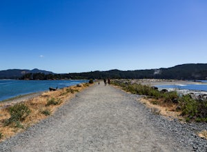
1.5 mi / 0 ft gainLocated in Sooke, between the Sooke Harbour and the Juan de Fuca Strait is Whiffin Spit Park. An easy 2.4km out and back trail with minimal elevation gain that you can walk to the end and back in about an hour. The dog-friendly gravel trail takes you down the spit to the end where you will find a...Read more -
Bellingham, Washington
Hike to Pine & Cedar Lakes
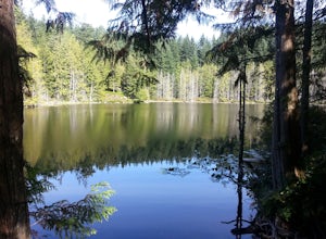
5.05 mi / 1400 ft gainThese two quaint lakes in the Chuckanuts are a must-do for people looking for a day hike, short camping trip or steep trail run in the Bellingham area. Starting at the trailhead off of Old Samish Road, one begins the 2 mile ascent to the two lakes. The first 1,400ft climb has its fair share of up...Read more -
Anacortes, Washington
Hike to the Summit of Mt. Erie
4.05 mi / 900 ft gainTo start this hike, jump on trail 215 for a short distance of about a 1/4 mile. From here, continue until you cross trail 320 and head left onto it. Stay on 320 until you come across trail 230.Take 230 uphill (resembles an old fire road) toward the ravine just above a creek. From here, head onto ...Read more -
Anmore, British Columbia
Backpack the Dilly Dally Loop
15.5 mi / 3800 ft gainThis hike begins near the parking lot of Buntzen Lake. The trailhead will read "Halvor Lunden Trail,” named after the man who made it. This part of the trail is well marked, however as you continue along the loop it gets less and less worn, making things more difficult, but also more natural.The ...Read more -
North Vancouver, British Columbia
Hike Mount Seymour to First Peak
4.0The elevation gain to first peak is approximately 451m and is about 9km.There are several ways to get to the top, each trail is marked well. One way is to follow the ski run up to brockton point and then take the turn off to Mount Seymour. Do not follow the Elsay Lake trail as it's signifciantly ...Read more -
North Vancouver, British Columbia
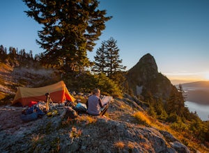
Hike and Camp on Mt. Seymour
From the end of the parking lot next to the BC Parks sign board, walk towards the ski run and follow it uphill to a green sign on the left. The first trail goes to Dog Mountain, another scenic and shorter hike then Mount Seymour. Instead, follow the trail that heads uphill and parallel to the ski...Read more

