Lytton, British Columbia
Top Spots in and near Lytton
-
Lytton, British Columbia
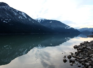
Explore Lillooet Lake
Lillooet Lake sits at the bottom of the Duffey Lake Road, just past the village of Mt Currie. In 2010, Mt Meager experienced a landslide totalling 48 million cubic metres, the largest in modern Canadian history. Sitting directly upriver of Lillooet Lake, the Meager slide turned this beautiful tur...Read more -
Yale, British Columbia
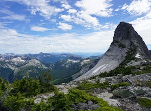
Hike to Guanaco Peak
4.5 mi / 2950 ft gainThe Coquihalla Summit Recreation Area is a zone comprised of several oddly shaped granite peaks. A few of these mountains demand your attention while driving along the Coquihalla Highway, but many remain hidden and require backroad exploration and elevation gain to be seen. Guanaco Peak is rea...Read more -
Harrison Mills, British Columbia
Relaxing at Sloquet Hot Springs
4.3Nestled between Harrison Hot Springs and Pemberton, the Sloquet Hot Springs are a great place to unwind. With multiple natural pools, it is easy to settle in and enjoy a beer, or my winter favourite, Baileys and coffee. If things heat up too fast, take refuge in a lower pool or cool off in the ri...Read more -
Yale, British Columbia
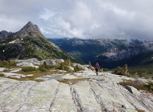
Summit Needle Peak
5.08.1 mi / 2893.7 ft gainMake your way to the Zopkios exit (#217) on the Coquihalla Highway (Hwy 5), which is almost exactly halfway between the Lower Mainland and the Okanagan of BC. The trailhead is off the pipeline service road on the opposite side of the highway as the rest stop. The hike can be done in one day, but ...Read more -
Yale, British Columbia
Hike to Tasty Lake
8.1 mi / 2894 ft gainTo Needle PeakTotal Distance: 13.0 km (return)Estimated Time: 4 - 7 hoursAverage Grade: 13.6%Structure: Linear - ReturnElevation Gain: 882 mStart Elevation: 1210 mMax Elevation: 2092 mTo Small LakeTotal Distance: 13.0 km (return)Estimated Time: 4 - 6 hoursAverage Grade: ...Read more -
Yale, British Columbia
Hike & Swim at Falls Lake, BC
3.0Usually the Coquihalla is a means of a way to get from Point A to Point B, but why drive past all that rugged B.C. beauty? Skip the usual travel rest stops and have a micro adventure while passing through the transition zone between B.C.'s coastal and interior landscapes.The trailhead is 1km (0.6...Read more -
Squamish-Lillooet C, British Columbia
Camp at the Top of Kafir Peak
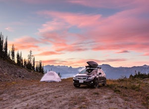
5.0At the turn off to Birkenhead Lake Provincial Park, take a hard left to the Telus cell phone tower access road (there is a telus branded sign). Drive up the road, which is very steep at times. High clearance and four wheel drive are a must! Drive up to the top, take in the view, and find a place ...Read more -
Yale, British Columbia
Hike Yak Peak
5.03.4 mi / 2755.9 ft gainThe granite slab of Yak Peak is easily identified by those passing by on the Coquihalla Highway. What most don't know is there is a hiking trail and climbing opportunities, both offering amazing 360 degree views of the Zopkios range and beyond.This hike starts at the Zopkios rest area (across the...Read more

