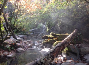
Lytton, British Columbia
Looking for the best chillin in Lytton? We've got you covered with the top trails, trips, hiking, backpacking, camping and more around Lytton. The detailed guides, photos, and reviews are all submitted by the Outbound community.
Top Chillin Spots in and near Lytton
-
Lillooet, British Columbia
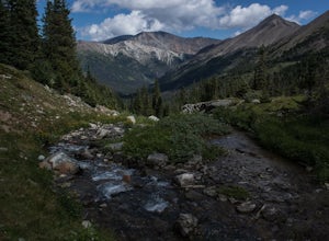
Drive the Molybdenite Ridge
5.012.4 miStarting at the Lytton Cable Ferry the gravel road begins. You are immediately greeted with views of the iconic Fraser River and local mountains. After approximately 40 km on the road, you turn onto Texas Creek FSR and follow this for 7 km before turning onto Molybdenite Main. This road takes you...Read more -
Lillooet, British Columbia
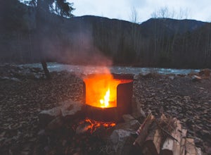
Camp at Cottonwood Recreation Site
5.0Located 3+ hours North of Vancouver on Duffey Lake Road (Highway 99), Cottonwood Recreation Site is one of 4 sites managed by the BC Forest Service. Duffey Lake Road is an extension of Highway 99 and connects Pemberton to Lillooet.If you plan on hiking or backcountry camping at Joffre Lakes, you...Read more -
D'Arcy, British Columbia
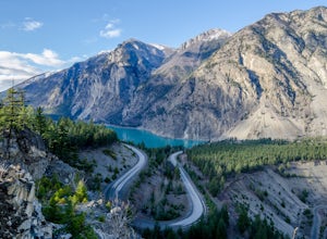
Seton Lake Lookout
4.80.78 mi / 259 ft gainOn highway 99 (Duffy Lake Road) just outside of Lillooet there is Seton Lake which is so very picturesque in its own way. It's turquoise coloured and surrounding it are cliffs and desert-like mountains. To get to the stunning view point there is a big pull out just before the last switch back on...Read more -
Yale, British Columbia
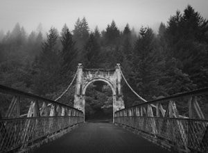
Visit Alexandra Bridge Provincial Park
5.00.6 miThe Alexandra Bridge Provincial Park is 136 acres dedicated to the original Cariboo Wagon Road Bridge over the Fraser River. It was originally established in 1984 and until the first European visit by Simon Fraser, remained inhabited by First Nations. The bridge was constructed in 1861 shortly af...Read more -
Squamish-Lillooet C, British Columbia
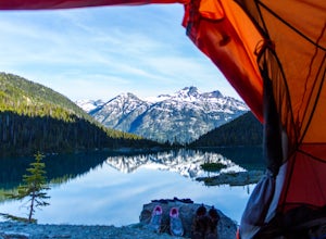
Backcountry Camp Upper Joffre Lake
3.03.1 mi / 2952.8 ft gainJoffre Lakes Provincial Park is located roughly three hours from Vancouver north of Whistler and Pemberton on Highway 99 (Sea-to-Sky Highway). The drive itself up to the trailhead is very scenic and worth it in itself. Once you get to the parking lot, park your car anywhere in the lot and consi...Read more -
Squamish-Lillooet C, British Columbia
Snowshoe Joffre Lakes
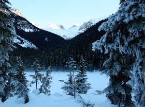
6.2 mi / 1312.3 ft gainThe Canadian west coast mountains around Whistler BC receive over thirty feet of snow each winter. This area is well known for epic skiing and snowboarding, and it's also a really fun place to go snowshoeing. Here's a winter version of the incredible Joffre Lakes adventure (see my profile to read...Read more -
Lytton, British Columbia
Camp at Strawberry Point
2.0If you're coming from Vancouver give yourself about 3 -4 hours of daylight driving time. This place isn't the easiest to find in the dark. From Pemberton, stay on the highway - this drive is beautiful! Follow any directions you see that will take you to the Duffy Lake road. After you drive along ...Read more -
Lytton, British Columbia
Explore Lillooet Lake
Lillooet Lake sits at the bottom of the Duffey Lake Road, just past the village of Mt Currie. In 2010, Mt Meager experienced a landslide totalling 48 million cubic metres, the largest in modern Canadian history. Sitting directly upriver of Lillooet Lake, the Meager slide turned this beautiful tur...Read more -
Harrison Mills, British Columbia
Relaxing at Sloquet Hot Springs
4.3Nestled between Harrison Hot Springs and Pemberton, the Sloquet Hot Springs are a great place to unwind. With multiple natural pools, it is easy to settle in and enjoy a beer, or my winter favourite, Baileys and coffee. If things heat up too fast, take refuge in a lower pool or cool off in the ri...Read more

