Fraser Valley F, British Columbia
Looking for the best photography in Fraser Valley F? We've got you covered with the top trails, trips, hiking, backpacking, camping and more around Fraser Valley F. The detailed guides, photos, and reviews are all submitted by the Outbound community.
Top Photography Spots in and near Fraser Valley F
-
North Vancouver, British Columbia
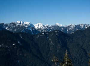
Snowshoe Dog Mountain
2.7 mi / 328.1 ft gainA perfect way to get outside before or after work. Dog mountain is an easily accessible snowshoe trail that takes you up to the short peak from the Mt. Seymour parking lot. This is a perfect spot for sunrise or sunset photography, and you can catch great 360 views from the top. Start at the BC Pa...Read more -
North Vancouver, British Columbia
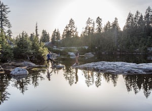
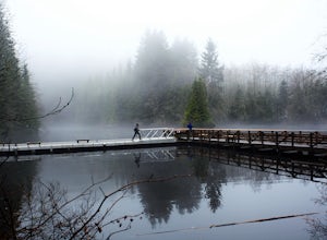
Hike to Mystery Lake
4.03.1 mi / 492.1 ft gainFrom the Mt. Seymour ski area parking lot, head towards the Mystery Peak Express. Once you have passed the base of the Mystery Peak Express, you will continue up the trail to your left (right goes to dog mountain, straight to the 3 peaks of Seymour). Follow the trail all the way up to the lake. T...Read more -
Belcarra, British Columbia
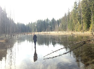
Hike the Springboard Trail and Explore Woodhaven Swamp
5.9 mi / 1312.3 ft gainFrom the parking lot at Woodhaven Swamp, head down the wooden steps to the lower path and then follow the path clockwise, passing over a small boardwalk bridge at the east end of the wetland. At the west side of the swamp, look out for a smaller trail that veers off on the left and follow that as...Read more -
Belcarra, British Columbia
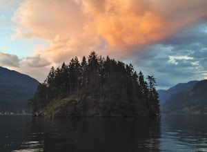
Hike the Jug Island Trail
4.7From the parking lot at Belcarra Regional Park, follow the Jug Island Trail. It is well marked and well walked so it's near impossible to wander off in the wrong direction! The beach near Jug Island is at the very tip of the peninsula and offers beautiful views of the Indian Arm and surrounding m...Read more -
North Vancouver, British Columbia
Hike Quarry Rock
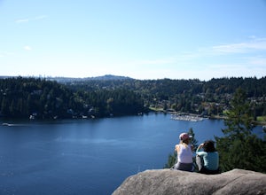
3.82.4 mi / 328.1 ft gainDeep Cove is a cozy little town located at the base of Mt. Seymour, lying on the shores of the Indian Arm which is a branch of the Burrard Inlet in North Vancouver. In autumn, the tree-lined streets glow orange in the sunlight and the sailboats, kayakers and paddleboarders fill the harbour with ...Read more -
Whistler, British Columbia
Camp Out at Elfin Lakes Hut
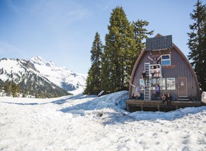
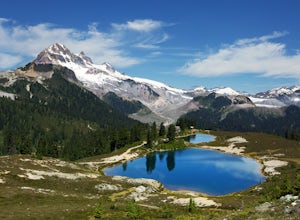
15 mi / 1900 ft gainThe cabin at Elfin Lakes is a beautiful well maintained shelter in the heart of the Garibaldi Provincial Park. It is nuzzled between two lakes (one for drinking water, and the other a swimming hole), and the Gargoyle Peaks. The cabin itself is fully stocked with 8 gas burners, tables, a fireplac...Read more -
Whistler, British Columbia
Hike to Little Diamond Head
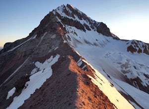
22 mi / 5900 ft gainGiven the total distance and cumulative elevation gain of this hike, I would suggest a good level of fitness to reach the summit. The trail does not have any technical challenges and the elevation gain is gradual. The final kick up to the summit involves some loose scree and minor exposure depend...Read more -
Whistler, British Columbia
Hike to Elfin Lakes, BC
4.713.7 mi / 1968.5 ft gainTo access the trail head you will have to drive a few kilometres up a pretty beat up service road, so SUV's and 4x4 are a must but it can be done in a regular car if you take it easy. Lots of pot holes and loose rocks.The hike to Elfin Lakes might be 11km each way, but it is not very steep and is...Read more -
North Vancouver, British Columbia
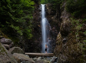
Hike to Norvan Falls
4.38.7 miThe trail starts in Lynn Headwaters Regional Park. This is a fantastic day hike that give you just enough of a challenge but isn't too long. It's about 14km to the norvan waterfalls and back ( 7km each way) and it totally work the walk. There is very minimal gain on this hike. The first bit of th...Read more -
North Vancouver, British Columbia
Hike Rice Lake
3.4Walk down Rice Lake Road, cross the bridge, and follow the pathway towards the park ranger buildings. Past the buildings you will find a gravel path going into the trees, which will take you towards a fence beside the trail. Continue on the path towards the lake, while the trees and moss along th...Read more -
North Vancouver, British Columbia
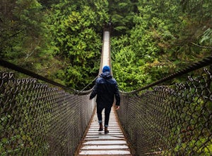
Explore the Lynn Canyon Suspension Bridge
4.4Lynn Canyon Suspension Bridge spans Lynn Canyon and is located near the popular Lynn Headwaters Park. To get there, exit the Trans Canada Highway onto Lynn Valley Road. Shortly after passing through the centre of the Lynn Valley community, turn right onto Peters Rd. This road will turn into "P...Read more -
Squamish, British Columbia
Hike the First Peak of the Stawamus Chief
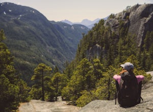
2.5 mi / 1600 ft gainJust a short drive up the Sea to Sky Highway is one of my favorite hikes near Vancouver. There are two options; the hike to first peak, or the hike to second and third peak. First Peak brings you to an epic view over Sqawmish, the Sea to Sky, and the Pacific Ocean. It is a perfect hike for those ...Read more -
Squamish, British Columbia
Hike Second and Third Peak of Stawamus Chief
4 mi / 2000 ft gainJust a short drive up the Sea to Sky Highway is one of my favorite hikes near Vancouver. There are two options; the hike to first peak or the hike to second and third peak. Second Peak brings you to an epic view over Sqawmish, the first peak of the Chief, the Sea to Sky Highway, and the Pacific O...Read more -
Squamish, British Columbia
Boulder at the Stawamus Chief
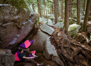
There's so much climbing to be done here -- sport, trad, bouldering! If you're bouldering, it is always shady and cool so bring a light jacket. Most popular season to climb here is in the summer. *If you're visiting from out of town...Need to rent a crash pad or two?There are a few outdoor stores...Read more -
Squamish, British Columbia
Hike Al's Habrich Trail
3.07.4 mi / 3130 ft gainWe arrived at the Sea to Sky Gondola in the early morning and rode up to the top in the gondola to where the trailhead was. Once at the top there was a gift shop and a suspension bridge with a wooden viewing platform. The trail goes to the left of the complex down an old logging road. It is well ...Read more -
Squamish, British Columbia
Snowshoe Al's Habrich Trail
3.7 mi / 1312.3 ft gainStrap on your snowshoes and head up to the Sea to Sky Gondola in Squamish, about a 45 minute drive from Vancouver. You can either take the gondola up (~$40), or hike up the Sea to Sky Summit trail that begins near the parking lot to the chief to get to the trailhead for Al's Habrich. If doing the...Read more

