Fraser Valley F, British Columbia
Looking for the best photography in Fraser Valley F? We've got you covered with the top trails, trips, hiking, backpacking, camping and more around Fraser Valley F. The detailed guides, photos, and reviews are all submitted by the Outbound community.
Top Photography Spots in and near Fraser Valley F
-
Squamish-Lillooet D, British Columbia
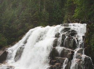
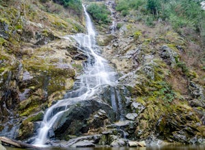
Hike to Crooked Falls
4.04 mi / 1400 ft gainThe trail to Crooked Falls starts at the Sigurd Creek Trail. The coordinates are: N49.910556, W-123.322817. It is a scenic dive just past the Squamish city center and the Squamish River. Once at the trail head you'll walk across a bridge over Sigurd Creek and follow the logging road for a couple...Read more -
Whistler, British Columbia
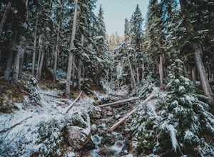
Hike to Rainbow Lake
5.09.9 mi / 2788.7 ft gainWith a low elevation to start you'll be greeted with a mossy canopy of luscious wilderness. As you venture deeper through the trail you can notice the wilderness progress to a sub-alpine climate and here you'll be pleasantly surprised by snow tipped pines & surroundings. The Rainbow Trail is ...Read more -
Whistler, British Columbia
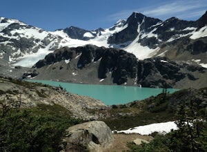
Hiking to Wedgemount Lake
5.08.7 mi / 1160 ft gainJust a little ways past Whistler BC Canada, you'll find a steep mountain trail leading to one of the true gems of Garibaldi Provincial Park and the Sea to Sky area: Wedgemount Lake. This is the stuff dreams are made of.The route ascends 7km through beautiful old growth forest, and as you crest th...Read more -
Whistler, British Columbia
Hike to High Falls Creek, BC
5.05.3 mi / 1719.2 ft gainThis is a great hike with varied terrain. From a flat meandering path to steep, scramble sections with chains and braided ropes. The must-see attraction on this trail is the thunder force of tumbling water heard throughout the day as you hike along a steep walled canyon.You have the option of par...Read more -
Whistler, British Columbia
Paddle on Whistler's Green Lake
4.7The name Green Lake says it all: this is a beautiful glacier-fed lake right next to Whistler village. There's easy access to the water from paved roads, making this a great outing for anyone visiting Whistler for a couple of days and looking for an afternoon adventure.Getting There To reach Green...Read more -
Hope, British Columbia
Hike to Flood Falls, British Columbia
5.00.6 mi / 262.5 ft gainYou can see the waterfall up high cascading down to the ground from where you park. Once you get to the trailhead and park on the side of the road, follow the trail toward the waterfall. The trail is a bit rough in spots with lots of roots, so be careful where you step. On the way to the falls, t...Read more -
Fraser Valley D, British Columbia
Camp at Jones Lake
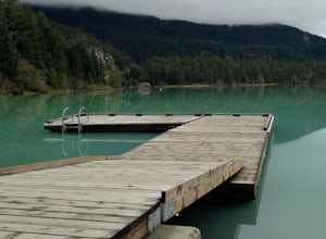
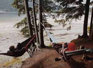
3.0Southwest of Hope and just east of Chilliwack, Jones Lake is a recreation site at a reservoir lake in the coastal mountain range, managed by BC Hydro. Set below granite mountain peaks and surrounded by a dense forest (that is unfortunately being logged), this lake isn't pristine, but it sure is p...Read more -
Fraser Valley D, British Columbia
Paddle on Jones Lake, BC
5.0Jones Lake Reservoir is approximately 25 km southwest of the town of Hope, British Columbia. Directly off of BC Highway #1 at the community of Laidlaw. To reach the lake, you will have to drive 9 km (5.6 mi.) on a steep and pretty beat up gravel road. The Jones Lake Forest Service Road is car ac...Read more -
Whistler, British Columbia
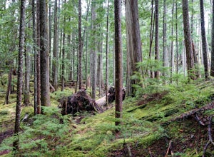
Visit the Ancient Cedars
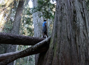
The Sea to Sky area is covered in old growth forest, but few people would expect to find trees of this size in Whistler. The Ancient Cedars Trail is a beautiful hike through breezy sunny forest to a little hidden grove of giant trees, tucked into the side of Cougar Mountain.If you're looking for ...Read more -
Yale, British Columbia
Visit Alexandra Bridge Provincial Park
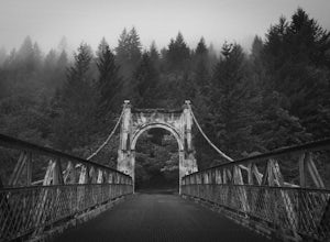
5.00.6 miThe Alexandra Bridge Provincial Park is 136 acres dedicated to the original Cariboo Wagon Road Bridge over the Fraser River. It was originally established in 1984 and until the first European visit by Simon Fraser, remained inhabited by First Nations. The bridge was constructed in 1861 shortly af...Read more -
Lytton, British Columbia
Explore Lillooet Lake
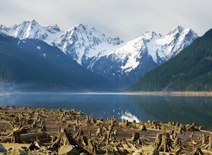
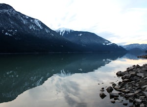
Lillooet Lake sits at the bottom of the Duffey Lake Road, just past the village of Mt Currie. In 2010, Mt Meager experienced a landslide totalling 48 million cubic metres, the largest in modern Canadian history. Sitting directly upriver of Lillooet Lake, the Meager slide turned this beautiful tur...Read more -
Delta, British Columbia
Take a Sunset Ride on the Tsawwassen-Swartz Bay Ferry
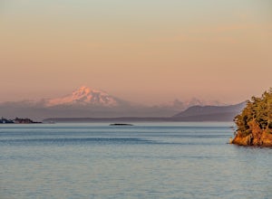
4.0You can walk on or take your car on the ferry. Either way gets you to the same views. Make sure you sit on the right side of the boat (and it sometimes turns around once leaving the dock). Set up on the upper deck, and prepare yourself for an unbelievable show. Make sure you check out the onboard...Read more -
Hope, British Columbia
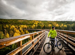
Cycle the Kettle Valley Rail-Trail
4.0Top 10 Areas of Interest - from West to East (1) Coquihalla Canyon Provincial Park(2) Red Ochre cliffs in the Tulameen(3) Trout Creek Trestle & The Kettle Valley Steam Train(4) Penticton's Munson Mountain & the Naramata Bench(5) The Little & Big Tunnel above Naramata(6) Myra-Bellevue ...Read more

