Fanny Bay, British Columbia
Looking for the best photography in Fanny Bay? We've got you covered with the top trails, trips, hiking, backpacking, camping and more around Fanny Bay. The detailed guides, photos, and reviews are all submitted by the Outbound community.
Top Photography Spots in and near Fanny Bay
-
Comox-Strathcona D, British Columbia
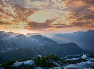
Mt. Myra via Tennent Lake Trail
9.33 mi / 4810 ft gainVery few people know about this hidden gem which makes it less crowded and all the more special. The views and serenity that this place possess are what will really draw you in. The hike starts at the Westmin Mine parking lot, located 2 hours north of Courtenay. To find the start of the trailhea...Read more -
Nanaimo, British Columbia
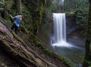
Hike to Ammonite Falls
4.82.69 mi / 558 ft gainThe falls cascades off of a sheet of rock that is filled with Ammonite fossils, thus the name Ammonite Falls! The trailhead is very distinct and has a parking lot close to the start of the trail. From the Nanaimo Parkway (#19) head onto Jingle Pot Road. Follow that for a few kilometres and turn ...Read more -
Comox-Strathcona D, British Columbia
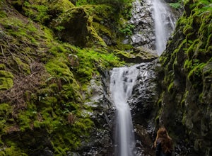
Explore Lupin Falls
5.0The drive to Lupin Falls from Courtenay BC is approximately 1.5 hours. Along the way you will drive past beautiful lakes, forests and mountains. Once at the parking/day use area the trailhead for Lupin Falls is on the opposite side of the road. Everything is very well marked and signed. The walk ...Read more -
Nanaimo, British Columbia
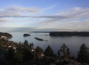
Catch a Sunset at Sugarloaf Mountain
You can easily put Sugarloaf Mountain Park into your GPS when in Nanaimo, but lets, just say you have an old school map. First make your way from the Island Highway onto Departure Bay Rd. Just before you get to Hammond Bay Rd turn onto Little John Way and take your first left, then take your firs...Read more -
Refuge Cove, British Columbia
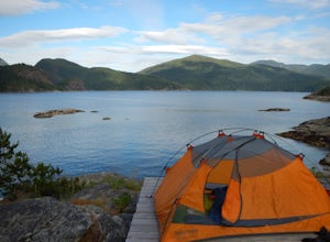
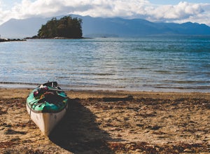
Kayak Camping in Desolation Sound Marine Park
5.0Leave from Okeover Arm just north of Powell River to get into the passage to the park. If you are coming from Vancouver, expect a 6 hour drive with multiple ferry rides.The paddle to the campground is fairly easy for an intermediate kayaker. Distances are about 10km from one camp to the next. Onl...Read more -
Egmont, British Columbia
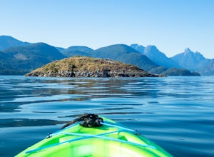
Kayak the Miller Islet
The coast of British Columbia defies description. It is a wonderland of natural treasures both living and geological, and the vast majority of it is only accessible by water or seaplane. The Miller Islet at the entrance to the glacier-carved Jervis Inlet is both a harbor seal and seabird colony a...Read more -
Nanaimo, British Columbia
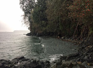
Scramble Down to Nanaimo's Hidden Cove
Firstly, use google maps to take you to Stephenson Rd in Nanaimo. About a mile down, the road forks, follow the left road (It says no exit, but the road just ends at a property so you will need to turn around to get back out). Continue down the road another half mile or so and you will see a smal...Read more -
Campbell River, British Columbia
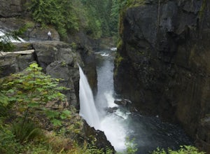
Elk Falls, B.C.
4.71.9 mi / 292 ft gainOnce you park, you'll walk along the tracks roughly northeast-ish and then cross over the tacks. The trail marker is shown at the parking lot to the falls, where you can enjoy some wooden carvings. When you head out on the trail, continue straight. You will come to a gravel road used for construc...Read more -
Bamfield, British Columbia
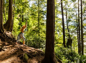
Swing on the West Bamfield Rope Swing
5.0On the island of West Bamfield, accessible only by foot and by taking a ferry from East Bamfield, itself only accessible via a 60 mile brutal dirt road from Port Alberni, is a taste of the free-wheeling, regulations-be-damned old-Vancouver-Island-made-manifest in an epic rope swing that hurls its...Read more -
Cowichan Valley F, British Columbia
Camp at Nitinat Lake
Nitinat Lake is located about 70 km from Lake Cowichan on Vancouver Island. It's about a 2 h drive from Lake Cowichan with 1 h on logging roads. When you get close to Lake Cowichan, the highway splits into two possible routes, one on the south side of the lake, the second on the north side. Since...Read more -
Alberni-Clayoquot A, British Columbia
Kayaking the Broken Group Islands
The Broken Group Islands are an internationally acclaimed sea kayaking destination. They can only be done properly on a multi-day trip and it’s not recommended for novice paddlers. The stunning archipelago located on the west coast of Vancouver Island features hundreds of islands, lagoons, caves,...Read more -
Alberni-Clayoquot A, British Columbia
Hike to Keeha Beach
5.03.7 miFar on the west coast of Vancouver Island, accessed only by a harrowing dirt road, is a wild and rugged coast begging to be explored. Bamfield is about a 3 hour drive from Nanaimo, half of which is on the gnarliest (and most active) logging road I've ever been on - and I grew up driving on loggin...Read more -
Comox-Strathcona D, British Columbia
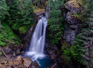
Hike to Lady Falls
5.01.2 mi / 131.2 ft gainThis waterfall is a pretty stellar sight. Located in one part of Strathcona Provincial Park, it plunges about 90 feet from a small slot canyon into a wide deep canyon. From the view point you can feel the mist from the waterfall on your face. For a different perspective, there is a small trail ju...Read more -
Ucluelet, British Columbia
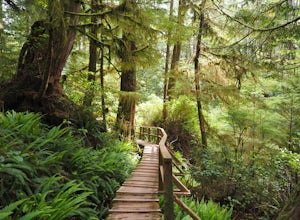
Hike the Rainforest Trails in Clayoquot Sound
5.0For an amazing jungle experience in Clayoquot Sound, the fantastic Rainforest Trails is the place to go. Located in the Pacific Rim National Park, the forest is deep, wet and massive. The wonderful aroma of nature fills your lungs as an incredibly elaborate boardwalk leads you along massive nurs...Read more

