East Kootenay F, British Columbia
Looking for the best hiking in East Kootenay F? We've got you covered with the top trails, trips, hiking, backpacking, camping and more around East Kootenay F. The detailed guides, photos, and reviews are all submitted by the Outbound community.
Top Hiking Spots in and near East Kootenay F
-
Kananaskis, Alberta
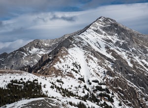
Hike Opal Ridge's South Summit
5.0Opal Ridge is located on the East side of highway 40 in Kananaskis.The trailhead starts at Fortress Gas Station. Park at the North end of the parking lot. The trailhead is easy to spot from here. Follow the creek a couple hundred meters till you reach an open area with power lines. Turn left. Con...Read more -
Estes Park, Colorado
Hike to Bear Lake, BC
4.05.6 mi / 1699.5 ft gainStart your hike at 6,100 feet elevation at the parking lot. The first section of the trail will take you through the forest on a rather steep trail. After half a mile keep left on the main trail that leads you away from the creek. Watch your step, the gully you're walking in can be slippery at ti...Read more -
Turner Valley, Alberta
Mist Mountain Scramble
4.5This is a pretty big objective, but doesn't feature any technical climbing, so anyone who keeps a clear head and can put one foot in front of the other can do it.Mist Mountain is located in Highwood Pass - whose highway is only open between June and December, so scheduling Mist Mountain as a big ...Read more -
Kananaskis, Alberta
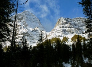
Hike up Galatea Creek to Lillian Lake
Located on Highway 40 (Kananaskis Trail) and marked by the "Galatea" sign, there's not much more to this hike other than putting one foot in front of the other, but the amount of traffic it sees is a testament to the quality of this hike.Even on the backend of winter the numerous shades of green ...Read more -
Kananaskis, Alberta
Hike to Lillian Lake and Galatea Lakes
2.09.3 mi / 3018.4 ft gainMake the trek down Hwy. 40 (about 33 km’s) to the trail head - Galatea Day Use Area. It’s very easy to find, as this is one of Kananaskis most popular day hikes. The trail leads into the forest, crossing a suspension bridge and a couple more bridges after that. Due to some flood damage, the bridg...Read more -
Longview, Alberta
Backpack to Pickle Jar Lakes
4.05 mi / 1328.7 ft gainPark in the Lantern Creek Recreation Area across the street from the trailhead. Highway #40 is closed at the Upper Lakes and Highwood House Junction from Dec 1st to June 14th for wildlife preservation, so you will have to plan your trip here accordingly. Once you cross the street you will see the...Read more -
Kananaskis, Alberta
Scramble up Mount Sparrowhawk for Sunrise
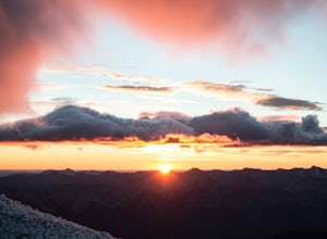
7.5 mi / 4527.6 ft gainMount Sparrowhawk was the first mountain I ever fell in love with -- I knew it well, and I knew that the summit would still be accessible with a bit of snow on it in October. With waning daylight hours, it was a perfect option - albeit intense - for a sunrise hike.The trailhead is located on the ...Read more -
Turner Valley, Alberta
Photograph Wedge Pond
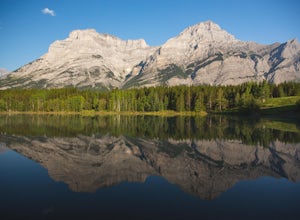
3.00.25 mi / 10 ft gainJust off Highway 1 in Kananaskis Country is a beautiful pond that makes for a wonderful spot to enjoy the first light on the Canadian Rockies. Bring warm clothes as this place can be especially cold. Don't forget a camera and a blanket. I recommend going for sunrise as this is when the lighting i...Read more -
Kananaskis, Alberta
Scramble the Wedge
5 mi / 3444.9 ft gainDrive south on Highway 40 and your adventure begins at Wedge Pond. Parking in the parking lot is easy enough if you're there early enough in the day (before 10:00). The trail up the Wedge starts near the bathrooms, and heads south - not southwest towards the pond. After only a few minutes of walk...Read more -
Kananaskis, Alberta
Hike Spencer Creek
2.5 mi / 1968.5 ft gainSouth of the Driftwood turnoff (approximately 4 km) on Spray/Smith-Dorrien Trail a large creek bed on the east of the road is the beginning of Spencer Creek. The trail is easy enough to find, just have to do a bit of looking.Once on the trail, you'll basically have no trouble at all. The trail it...Read more -
East Kootenay G, British Columbia
Hike to Cobalt Lake
5.010 mi / 2400 ft gainYou most likely won't find another person hiking this trail the same day as you, and for good reason; the trailhead is at the end of a 55 km gravel road that begins at British Columbia Highway 95, near the remote town of Spillimacheen. There is helicopter transportation if you are staying at the ...Read more -
East Kootenay G, British Columbia
Climb Bugaboo Spire, NE Ridge
6 mi / 2300 ft gainThe adventure of the Bugaboos starts almost at the highway when you turn off at Brisco. A collection of rough and tumble roads that are only recently signed towards the Bugaboo Provincial Parking Lot are exciting enough... 4WD isn't required, but a car with decent clearance will make the drive mu...Read more -
Kananaskis, Alberta
Hike Old Baldy Ridge
9.3 mi / 2952.8 ft gainPark at the Evan Thomas parking lot to and the trailhead is in the south of that parking lot. It follows a well-defined trail up for most of the way before you start gaining elevation. When the trail starts heading south, keep an eye out for a small trail that will keep you heading east. This por...Read more -
Longview, Alberta
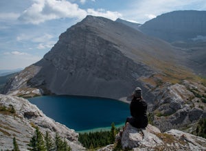
Carnarvon Lake Trail
12.9 mi / 2221 ft gainI first heard about Carnarvon Lake (mistakenly called Carnivore Lake) in 2015 at my sister's wedding in Rhode Island - which is actually the last place I figured I'd get a recommendation. I spent a good amount of time trying to find any mention of Carnivore Lake on the internet, and asked anyone ...Read more -
Kananaskis, Alberta
Snowshoe to Old Goat Glacier
6.2 mi / 2296.6 ft gainThe trialhead is found on West Side Road on the west side of Spray Lakes Resevoir. In winter, West Side Road is closed to vehicles due to dogsled tours, but is still open to walking - it's a pretty neat experience to get passed by a dozen sled dog teams. Since the road is closed, it adds an extra...Read more -
Kananaskis, Alberta
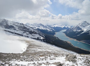
Hike up Windtower Mountain
5.06.2 mi / 3182.4 ft gainSpray Lakes is one of my favorite areas in Kananaskis, and the view of Spray Lakes from the summit is absolutely breathtaking.The trailhead is located along the Smith-Dorrien Trail (Spray Lakes Road) – look for a yellow sign on the eastern side of the road, about 1 mile (1.5 km) south of the Drif...Read more

