East Kootenay F, British Columbia
Looking for the best camping in East Kootenay F? We've got you covered with the top trails, trips, hiking, backpacking, camping and more around East Kootenay F. The detailed guides, photos, and reviews are all submitted by the Outbound community.
Top Camping Spots in and near East Kootenay F
-
East Kootenay F, British Columbia
Camp at Alces Lake in Whiteswan Provincial Park
The park offers vehicle accessible campsites on a first-come, first-served basis. There are 114 campsites located at five campgrounds. Alces lake is the closest to the Lussier hot springs and the first campsite in the park. With sunny lakeside sites it is frequently the busiest. At $23/night with...Read more -
East Kootenay F, British Columbia
Hike to Jumbo Pass
6 mi / 2200 ft gainFrom Invermere, British Columbia, head West towards Panorama Ski Area on Toby Creek Forest Service Road. At the turnoff for the bridge that heads towards Panorama, set your trip odometer to 0. At a fork in the road at about 12 miles, stay right on Jumbo Creek Road. In another mile, stay left. At ...Read more -
Arrow Creek, British Columbia
Hike or Bike to Fish Lake
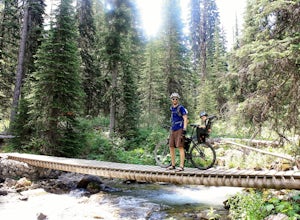
3.7 mi / 500 ft gainTop of the World Park is located 48 kilometres northeast of the village of Kimberley, access is via White Swan and Lussier Forest Service Roads, and extreme caution must be exercised at all times while travelling these roads. The access route is normally passable from late May until late October....Read more -
East Kootenay G, British Columbia
Hike to Lake of Hanging Glaciers
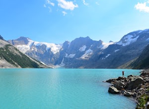
5.0Do you like rushing rivers, impressive waterfalls, serene forests and massive glaciers? How about glacier fed lakes, epic mountains and starry nights to boot? This is it, all of it in one place.Beginning at the trailhead 50km west of Radium in British Columbia, this 16km hike runs over and around...Read more -
Kananaskis, Alberta
Backpack the Fortress Cirque
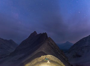
5.012.19 mi / 3507 ft gainNo better way to watch the stars with friends than huddled up in your sleeping bag on top of a 3000m summit. This describes the bivy at The Fortress. Starting at the Chester Lake Trailhead, take the unmarked trail on the right side of the parking lot. These winter cross-country ski trails take y...Read more -
Edgewater, British Columbia
Explore Mount Assiniboine Provincial Park
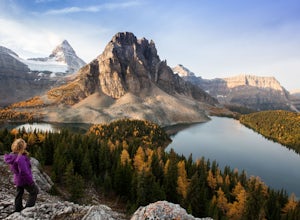
5.0Mount Assiniboine Provincial Park is a UNESCO World Heritage Site sequestered 27 km from the nearest road. We took a helicopter in, and hiked out . You can also hike both ways, but the hiking once you are there is more amazing than on the way in. You can also ski in on backcountry skis in the Win...Read more -
Edgewater, British Columbia
Hike to Nub Peak
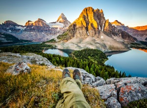
5.07.3 mi / 2789 ft gainStarting right at Mt. Assiniboine Lodge, there is very clear signage for this hike. The arrows will lead you over a wooden walkway right before you begin a gentle assent through the woods,gaining elevation the further you go, and then arrive at The Nublet which is before the peak. The Nublet has ...Read more -
Kananaskis, Alberta
Bryant Creek Lodge via Watridge Lake Trail
16.65 mi / 1401 ft gainThis moderate-graded backcountry hike or ski in the winter can take 5-8 hours (one way). Most people hike or ski in from the Mt. Shark parking lot in Kananaskis Country, a 30 min. drive from Canmore, Alberta. From Mt. Shark Parking Lot (off the Smith-Dorrien Road), take the Watridge Lake Trail t...Read more -
Estes Park, Colorado
Hike to Bear Lake, BC
4.05.6 mi / 1699.5 ft gainStart your hike at 6,100 feet elevation at the parking lot. The first section of the trail will take you through the forest on a rather steep trail. After half a mile keep left on the main trail that leads you away from the creek. Watch your step, the gully you're walking in can be slippery at ti...Read more -
Longview, Alberta
Backpack to Pickle Jar Lakes
4.05 mi / 1328.7 ft gainPark in the Lantern Creek Recreation Area across the street from the trailhead. Highway #40 is closed at the Upper Lakes and Highwood House Junction from Dec 1st to June 14th for wildlife preservation, so you will have to plan your trip here accordingly. Once you cross the street you will see the...Read more -
Longview, Alberta
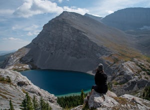
Carnarvon Lake Trail
12.9 mi / 2221 ft gainI first heard about Carnarvon Lake (mistakenly called Carnivore Lake) in 2015 at my sister's wedding in Rhode Island - which is actually the last place I figured I'd get a recommendation. I spent a good amount of time trying to find any mention of Carnivore Lake on the internet, and asked anyone ...Read more

