East Kootenay F, British Columbia
Looking for the best hiking in East Kootenay F? We've got you covered with the top trails, trips, hiking, backpacking, camping and more around East Kootenay F. The detailed guides, photos, and reviews are all submitted by the Outbound community.
Top Hiking Spots in and near East Kootenay F
-
Kananaskis, Alberta
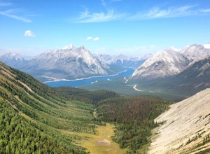
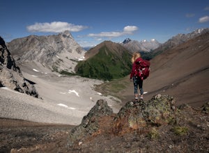
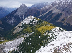
Hike Along Tent Ridge
4.5Starting off just past the Mt Engadine Lodge there is a make shift parking lot on your right hand side (usually filled with 10 or so cars depending when you go) This trail is a loop so there are two trail heads. The first is easily seen about 500m up the road on your left and the second was about...Read more -
Kananaskis, Alberta
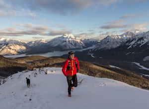
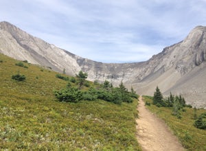
Running on the Tent Ridge
1.06.3 mi / 2706.7 ft gainTent Ridge is located in Kananaskis Country, a 45 minute drive from Calgary, Alberta. Start on Mount Shark Road at the pull out to your right. You will have to walk a few 100 meters back down the road to access the trail head to begin this hike.Some decent elevation is gained during the hike with...Read more -
Edgewater, British Columbia
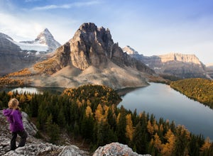
Explore Mount Assiniboine Provincial Park
5.0Mount Assiniboine Provincial Park is a UNESCO World Heritage Site sequestered 27 km from the nearest road. We took a helicopter in, and hiked out . You can also hike both ways, but the hiking once you are there is more amazing than on the way in. You can also ski in on backcountry skis in the Win...Read more -
Edgewater, British Columbia
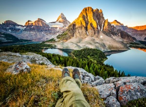
Hike to Nub Peak
5.07.3 mi / 2789 ft gainStarting right at Mt. Assiniboine Lodge, there is very clear signage for this hike. The arrows will lead you over a wooden walkway right before you begin a gentle assent through the woods,gaining elevation the further you go, and then arrive at The Nublet which is before the peak. The Nublet has ...Read more -
Kananaskis, Alberta
Hike to Grizzly Ridge near Highwood Pass
4.2 mi / 1840.6 ft gainThe hike starts at 2206 meters elevation Highwood Pass, and takes you through beautiful Pocaterra Cirque up to the peak of Grizzly ridge at 2767 meters, an impressive altitude to attain with only a 561 meter climb.Park at the parking lot at Highwood Pass, and follow the interpretive trail to a s...Read more -
Kananaskis, Alberta
Hike Ptarmigan Cirque
4.03.1 mi / 754.6 ft gainPtarmigan Cirque is a great beginner hike in Highwood Pass. Take Hwy. 40 approximately 50 km's from Hwy. 1. You will find the trail head at the Highwood Pass Day Use Area. This interpretive trail heads north along the road for about 100 meters and then crosses the highway. The trail is easy to na...Read more -
Kananaskis, Alberta
Ice Climb at King Creek
4.0Follow the defined path trailing roughly along the creek bed, a 20 minute hike from the car park. King Creek lies at the bottom of a gorge with steep rock walls on either side and a cascade of fat ice being forced out of the rocks. It's a gorgeous spot, showcasing the true beauty of Kananaskis.It...Read more -
Kananaskis, Alberta
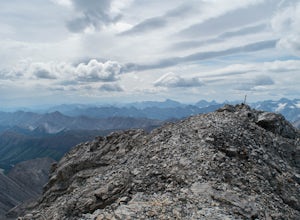
Scramble Mount Rae
4.0Mount Rae has given me the slip a couple times before, so I opted to take it on solo in the hopes of getting a successful attempt in. Damn, this is a good one.Park at the Highwood Pass parking lot, and start off on the Ptarmigan Cirque Trail. Forested until you get to the cirque, check beforehand...Read more -
Kananaskis, Alberta
Hike Pocaterra Ridge
4.09 mi / 650 ft gainDuring the fall I find the biggest treat is the changing of the larch trees and the beautiful contrast they provide against the landscape with their intense golden yellow colors. One of the best places to experience this is Pocaterra Ridge, located in the Highwood Pass of the Kananaskis region in...Read more -
Kananaskis, Alberta
Explore the Pocaterra Cirque
Start at the Pocaterra/Highwood pass parking lot. The pond is about 1.5km directly west from the parking lot, but the trail head is not always obvious, especially if there is snow. Keep an eye out for the flagging tape that marks the trail. Consider bringing snowshoes in November.This makes for ...Read more -
Kananaskis, Alberta
Snowshoe Mount Tyrwhitt
1.05.6 mi / 2132.5 ft gainDescribing snowshoeing trails is always a bit difficult, but luckily the way up Mount Tyrwhitt gets used heavily by people going to Pocaterra Cirque - first thing to remember is to take the first fork off the main trail to the left after you cross the bridge.Even if the trail is snow covered and ...Read more -
Kananaskis, Alberta
Bryant Creek Lodge via Watridge Lake Trail
16.65 mi / 1401 ft gainThis moderate-graded backcountry hike or ski in the winter can take 5-8 hours (one way). Most people hike or ski in from the Mt. Shark parking lot in Kananaskis Country, a 30 min. drive from Canmore, Alberta. From Mt. Shark Parking Lot (off the Smith-Dorrien Road), take the Watridge Lake Trail t...Read more -
Kananaskis, Alberta
Hiking to Karst Spring in Kananaskis Country
4.5Every year, over 5 million visitors make their way through Banff National Park to soak in the surrounding peaks, bountiful wildlife, and turquoise-colored lakes. With this many visitors, it's hard to find yourself alone, especially during the peak seasons of summer and fall. Right next door to Ba...Read more -
Kananaskis, Alberta
Hike to Little Arethusa
2.8 mi / 2034.1 ft gainUnfortunately, pictures of larches in autumn never actually do them justice. It's worth it to go out and experience them for yourself. This hike is pretty scenic for the short distance it is, but my favourite part is that you get to be up close and personal with the larches as the forest is bathe...Read more -
Edgewater, British Columbia
Hike to Windy Ridge
10.6 mi / 1640.4 ft gainWindy Ridge is located by Og Pass in the Mount Assiniboine Provincial Park. Whether you start from any of the campgrounds, huts or the lodge, the way to the Windy Ridge Trail is well indicated and the trail itself is well worn. Beware that if you are using the Gem Trek map (1:100,000), the notes ...Read more -
Kananaskis, Alberta
Hike Alberta's Grizzly Peak
4.0The trailhead is located on the north side of Ripple Creek, the first creek you come across after passing the Grizzly Creek turnoff. There is an easy pull-off on the east side of the highway. You should be able to see the trailhead from the road, which follows the southern slope of the mountain f...Read more

