Columbia-Shuswap A, British Columbia
Top Spots in and near Columbia-Shuswap A
-
Improvement District No. 9, Alberta
5.0
5.6 mi
/ 508.5 ft gain
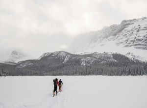
The trailhead begins directly behind the Num-Ti-Jah Lodge on km 37 of the Icefields Highway. The trail is well marked and winds along the shore of Bow Lake for the first 1.2km of the hike. Eventually you will lead up to a narrow gorge and onto the crest of a glacial moraine. There are only a few...
Read more
-
Field, British Columbia
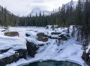
Whether you are traveling north or south on the Trans-Canada Highway in Yoho National Park you will see a sign that directs you west to travel on Emerald Lake Road. When you turn west you will travel about one mile, or 1.6 km, and then you will see the parking area for the Natural Bridge. After p...
Read more
-
Improvement District No. 9, Alberta
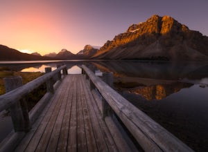
Make sure check the sunrise time and to try to arrive 30 minutes to an hour before. If you're driving north or south along the Icefields Parkway, you'll see a sign for Bow Lake, it's about 38km north of Lake Louise. There are two pull-offs for the lake, if you're heading north take the second roa...
Read more
-
Improvement District No. 9, Alberta
2.0
4.3 mi
/ 2099.7 ft gain
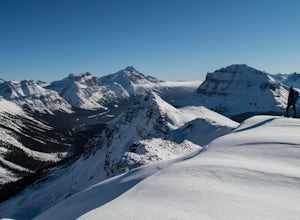
For anyone looking to leave crowds behind but still have a killer day, Crystal Ridge might be up your alley! On an unseasonably warm January Saturday, I was the only one to access the trail. My singular trail was the only blemish on the pristine field of snow.The trailhead is located in the north...
Read more
-
Improvement District No. 9, Alberta
Park at the viewpoint for the Crowfoot Glacier, roughly 32 kilometers after turning off Highway 1. It does sometimes get busy so you might end up parking on the side of the road. From the parking lot head southwest, there is almost always a skin track here. No skin track? Freshies! YAY! After a s...
Read more
-
Improvement District No. 9, Alberta
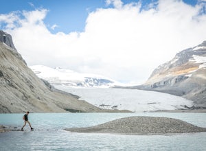
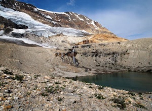
The Saskatchewan Glacier is usually seen from above, on Parker's Ridge, but this much quieter trail will give you access to the very base of the glacier. Though much longer than the famous Parker's Ridge, this trail is easy and meanders through morraines and forest before reaching the toe of the ...
Read more
-
Field, British Columbia
This hike begins at a trailhead 1.5 km (0.9 mi) from Field, B.C., Canada. When heading west on the Trans Canada Highway towards Field, turn right 1.5 km before Field onto a small dirt road. Immediately turn left and continue driving straight for 500 m (0.3 mi) to a small open area for parking at ...
Read more
-
Improvement District No. 9, Alberta
5.0
5.5 mi
/ 1000 ft gain
While the drive from Banff to Jasper on the Icefields Parkway is astoundingly beautiful, it's long enough to make even the most seasoned roadwarrior crave the chance to stretch their legs. At almost the exact halfway point on the lengthy drive lies Parker Ridge, a short but fairly steep hike rig...
Read more
-
Improvement District No. 9, Alberta
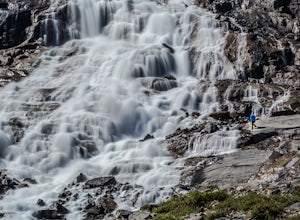
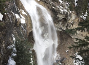
The extraordinary Panther Falls can be found along the Columbia Icefields Parkway in Banff National Park, Alberta. This 0.3 mile long trail requires a little scrambling and extreme caution. It leads to a breathtaking view of the falls from the top where Nigel Creek descends out from a rock canyon...
Read more
-
Jasper, Alberta
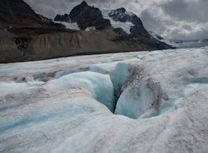
This is not an advertisement for the guided tour, but you will see so much more of the glacier than if you do a bus tour or just visit the roped off visitor area. Do you research and you can find a company that will take you up onto the glacier safely. It was amazing looking into the crevasses an...
Read more
-
Jasper, Alberta
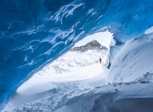
The Icefields Parkway is without a doubt one of the most beautiful drives in the world. Just off the road, you’ll find one of Jasper’s hidden gems where you can explore this stunning ice cave. Venture inside (with extreme caution) to marvel at the brilliant blue walls and admire epic views of the...
Read more
-
Improvement District No. 12, Alberta
5.0
7.45 mi
/ 1100 ft gain
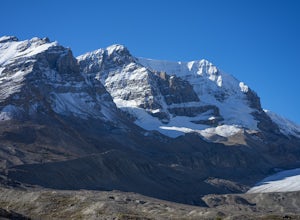
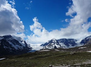
Views of the Columbia Icefield from the Icefields Parkway pale in comparison with those achieved along this trail. Few trails anywhere are so instantly and extravagantly gratifying. That being said, be prepared to share the trail with a dozen other hikers as this premier scenery is no secret.Begi...
Read more
-
Improvement District No. 12, Alberta
Starting from the Wilcox Campground, this hike is 12km roundtrip. If you're just looking to stretch your legs a bit, you don't have to go the full distance, you can hike as far as the first opening.Along the route, you'll take in the expanse of the Columbia Icefield and Athabasca and Dome Glacier...
Read more
-
52.013448,-116.628897, Alberta
4.0
14.56 mi
/ 6535 ft gain
Starting 105 miles (169kms) from Rocky Mountain House, the trailhead for this hike begins across the highway from Thompson Creek Campground. There is a grassy area to park and the path extends obviously on the east side of the creek.
The initial 2.5 miles (4.2kms) meanders along the creek with 2...
Read more
-
Field, British Columbia
The trail begins towards the backside of Kicking Horse camp area near the washrooms. Please know that access to this area is typically closed between October and June. Look for the large trail sign and be sure to grab a brochure to enjoy the self-guided tour. The brochures may not be available, ...
Read more
-
Parson, British Columbia
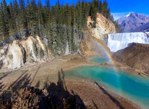
This short 1.2 mile hike leads you through a relatively level forest to a spot on the Kicking Horse River where the water crashes off a river-wide cliff, producing almost a guaranteed rainbow at the bottom. The trail starts at the Wapta Falls Trailhead, which is a short drive off the Trans Canadi...
Read more

