Columbia-Shuswap A, British Columbia
Looking for the best hiking in Columbia-Shuswap A? We've got you covered with the top trails, trips, hiking, backpacking, camping and more around Columbia-Shuswap A. The detailed guides, photos, and reviews are all submitted by the Outbound community.
Top Hiking Spots in and near Columbia-Shuswap A
-
Improvement District No. 9, Alberta
Hike to the Summit of Parker Ridge
5.05.5 mi / 1000 ft gainWhile the drive from Banff to Jasper on the Icefields Parkway is astoundingly beautiful, it's long enough to make even the most seasoned roadwarrior crave the chance to stretch their legs. At almost the exact halfway point on the lengthy drive lies Parker Ridge, a short but fairly steep hike rig...Read more -
Jasper, Alberta
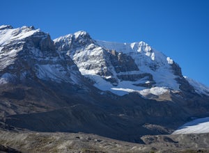
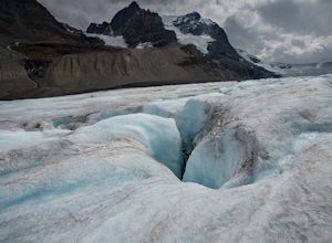
Hike along the Athabasca Glacier
4.73 mi / 700 ft gainThis is not an advertisement for the guided tour, but you will see so much more of the glacier than if you do a bus tour or just visit the roped off visitor area. Do you research and you can find a company that will take you up onto the glacier safely. It was amazing looking into the crevasses an...Read more -
Jasper, Alberta
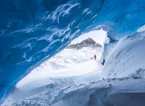
Athabasca Ice Caves
3.01 miThe Icefields Parkway is without a doubt one of the most beautiful drives in the world. Just off the road, you’ll find one of Jasper’s hidden gems where you can explore this stunning ice cave. Venture inside (with extreme caution) to marvel at the brilliant blue walls and admire epic views of the...Read more -
Improvement District No. 12, Alberta
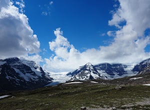
Hike to Wilcox Pass
5.07.45 mi / 1100 ft gainViews of the Columbia Icefield from the Icefields Parkway pale in comparison with those achieved along this trail. Few trails anywhere are so instantly and extravagantly gratifying. That being said, be prepared to share the trail with a dozen other hikers as this premier scenery is no secret.Begi...Read more -
52.013448,-116.628897, Alberta
Mount Cline
4.014.56 mi / 6535 ft gainStarting 105 miles (169kms) from Rocky Mountain House, the trailhead for this hike begins across the highway from Thompson Creek Campground. There is a grassy area to park and the path extends obviously on the east side of the creek. The initial 2.5 miles (4.2kms) meanders along the creek with 2...Read more -
Field, British Columbia
Hike "A Walk in the Past Trail," Yoho NP
3.02 mi / 396 ft gainThe trail begins towards the backside of Kicking Horse camp area near the washrooms. Please know that access to this area is typically closed between October and June. Look for the large trail sign and be sure to grab a brochure to enjoy the self-guided tour. The brochures may not be available, ...Read more -
Parson, British Columbia
Hike to Wapta Falls, Yoho National Park
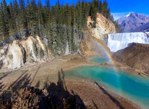
5.02.4 mi / 180 ft gainThis short 1.2 mile hike leads you through a relatively level forest to a spot on the Kicking Horse River where the water crashes off a river-wide cliff, producing almost a guaranteed rainbow at the bottom. The trail starts at the Wapta Falls Trailhead, which is a short drive off the Trans Canadi...Read more -
Improvement District No. 9, Alberta
Mosquito Creek Backpacking Adventure
18.7 mi / 3822.2 ft gainThe Mosquito creek trailhead is on the east side of the Icefield parkway road just across from the Mosquito Creek Hostel. You park in front of the hostel, and hop across the road to begin the trek.The trail winds up the Mosquito Valley, occasionally popping into a clearing where you get good view...Read more -
Field, British Columbia
Ski Tour/Snowshoe Mt. Paget
6.8 mi / 8399 ft gainTrailhead: Approximately 5.5km West of the Alberta/British Columbia border sits the Great Divide Lodge. Towards the back left of the main building is the trailhead. Route: The trail is clear from the trailhead and for most of the way to the summit of Mt. Paget. Be aware on your descent if you ...Read more -
Improvement District No. 9, Alberta
Ski Mt. Hector
8.6 mi / 5275.6 ft gainMt Hector's main route requires a ski mountaineering ascent. It moves through a lot of complex avalanche terrain, across glaciers, and through many terrain traps. Most people will do this route in spring, aiming to be off the mountain before noon. This route should be attempted only by very fit ...Read more -
Improvement District No. 9, Alberta
Hike to Hector Lake
5.03.1 miHector Lake is one of the larger lakes in Banff National Park. It is surrounded by the Waputik Range to the west, and offers pristine views of the mountains. Hector Lake is idyllic and peaceful. Most tourists drive past the trailhead on the parkway, which means the hike is not at all busy. An...Read more -
Field, British Columbia
Scramble Little Odaray
6.2 mi / 3116.8 ft gainFirst things first: prior to August 15, there are only 4 groups of people allowed in this area per day, and after August 15, only 2 groups are allowed in. Start early!Starting at Lake O'Hara, head towards the Elizabeth Parker ACC Hut. Continue past the hut and meander through meadows and forests....Read more -
Field, British Columbia
Explore Lake O'Hara
4.8Hidden deep in the Canadian Rockies is Lake O'Hara, a diamond among the rough peaks. Ten minutes drive east of a small town called Field in British Columbia, or sixty minutes west of Banff, Alberta; is a small parking lot where the adventure begins. A $25 return, 30 minute bus ride from there tak...Read more -
Field, British Columbia
Hike to the Opabin Prospect
5.02.5 mi / 820 ft gainLocated in Yoho National Park, Lake O'Hara is said to be the crown jewel of the Canadian Rockies (rightly so!). Callum Snape has described a bit of the process on what it takes to gain access to Lake O'Hara at this post here. Once you arrive at Lake O'Hara, either at the lodge or at the neighbori...Read more -
Field, British Columbia
Backpack to Alberta's Abbot Pass Hut
3.016.2 mi / 1500 ft gainBuilt in 1922 with the stones from the pass, the Abbot Pass Hut and has served both as a base for mountaineers and as a destination for strong hikers ever since. Sitting at 2,926 meters' elevation, it is second only to the Neil Colgan Hut on the list of highest permanent structures in Canada. The...Read more -
Field, British Columbia
Hike the Yuckness Ledges in Yoho National Park
5.5 mi / 0 ft gainThe Lake O’Hara Alpine Circuit is short loop - but it's not for the faint-hearted. We walked Yuckness Ledges, which is a trail under a large cliff with incredible views over Lake O'Hara and the rest of Yoho National Park. The trail starts from the Lake O’Hara outlet bridge across from the Le Rela...Read more

