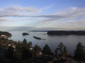
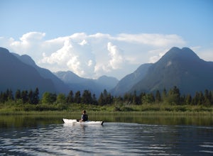
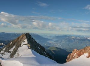
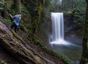
Bowen Island, British Columbia
Top Spots in and near Bowen Island
-
Squamish, British Columbia
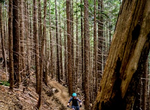
This is a big climb. Be warned. The easiest option is to drive past Quest University in Squamish up Mamquam Road to the Half Nelson trail exit (this is the second parking area up the road). From there, you can either ride up the road to the left, or take the legacy climbing trail until you get to...
Read more
-
Delta, British Columbia
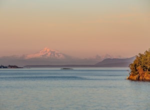
You can walk on or take your car on the ferry. Either way gets you to the same views. Make sure you sit on the right side of the boat (and it sometimes turns around once leaving the dock). Set up on the upper deck, and prepare yourself for an unbelievable show. Make sure you check out the onboard...
Read more
-
Whistler, British Columbia
4.7
13.7 mi
/ 1968.5 ft gain
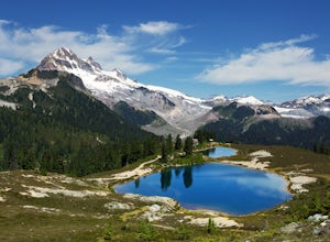
To access the trail head you will have to drive a few kilometres up a pretty beat up service road, so SUV's and 4x4 are a must but it can be done in a regular car if you take it easy. Lots of pot holes and loose rocks.The hike to Elfin Lakes might be 11km each way, but it is not very steep and is...
Read more
-
Whistler, British Columbia
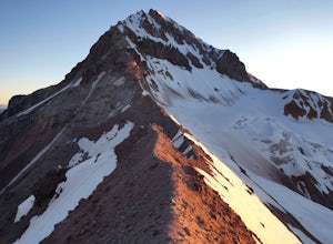
Given the total distance and cumulative elevation gain of this hike, I would suggest a good level of fitness to reach the summit. The trail does not have any technical challenges and the elevation gain is gradual. The final kick up to the summit involves some loose scree and minor exposure depend...
Read more
-
Whistler, British Columbia
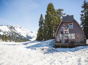
The cabin at Elfin Lakes is a beautiful well maintained shelter in the heart of the Garibaldi Provincial Park. It is nuzzled between two lakes (one for drinking water, and the other a swimming hole), and the Gargoyle Peaks.
The cabin itself is fully stocked with 8 gas burners, tables, a fireplac...
Read more
-
Squamish-Lillooet D, British Columbia
5.0
8.9 mi
/ 2772.3 ft gain
The trailhead starts at an old service road and follows it for around 3 km until the trail turns left, off the old service road. Watch for flagging tape as this turn is often missed. Once off the service road, the trail immediately goes down and winds through a meadow with beautiful lakes and ama...
Read more
-
Squamish, British Columbia
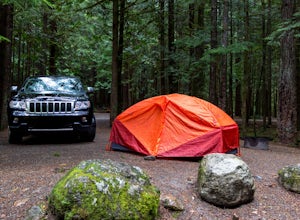
Alice Lake Provincial Park is located just North of Squamish. To get here, exit right off Highway 99 when coming from the South onto Alice Lake Rd. The campground is located under 5 minutes up the road and is first come first serve during low season. From late Spring to Early fall, make sure y...
Read more
-
Nanaimo, British Columbia
Firstly, use google maps to take you to Stephenson Rd in Nanaimo. About a mile down, the road forks, follow the left road (It says no exit, but the road just ends at a property so you will need to turn around to get back out). Continue down the road another half mile or so and you will see a smal...
Read more
-
Surrey, British Columbia
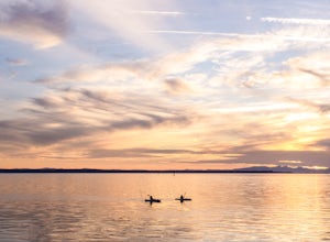
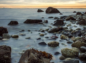
Crescent beach is a great place to end your day, by taking some sunset pictures. It often lights up the sky and really pops with colour. It is best to park at the main parking lot near the pier and start from there. The beach walk from the pier to the end is just over a kilometre, so is very shor...
Read more
-
Nanaimo, British Columbia
You can easily put Sugarloaf Mountain Park into your GPS when in Nanaimo, but lets, just say you have an old school map. First make your way from the Island Highway onto Departure Bay Rd. Just before you get to Hammond Bay Rd turn onto Little John Way and take your first left, then take your firs...
Read more
-
Surrey, British Columbia
Head over to this magical little park by the water. The forested area between the 2 entrances to the park has many large trees often used by eagles and hawks to survey the surrounding area for prey. The habitat functions of the marsh significantly contribute to the ecological value of the lower N...
Read more
-
Squamish, British Columbia
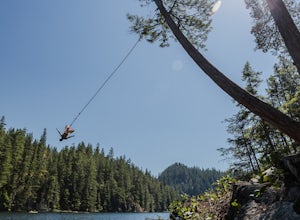
This lake is popular with the locals for a reason - it's right off the highway and has lots to offer. There are a few 40+ foot cliffs on the east side, and some smaller ones if you're not feeling that adventurous, as well as a rope swing on the west side of the lake. It only takes about 15 minute...
Read more
-
Surrey, British Columbia
One of Surrey's hidden gems, head down to this short trail down a set of stairs that will take you to an uninhabited beach.The zig zagged steps take you down to the Birlington Rail Lines and you can walk along a trail to an opening under the tracks. Head to the beach from here where you will like...
Read more
-
Pitt Meadows, British Columbia
The 12km (7.5 mi) drive on Neaves Road to Pitt Lake from Pitt Meadows is one of BC's most scenic routes. As soon as you start this section of the drive you already feel miles from the city, but this route is only 30-45 minutes from Vancouver, depending on city traffic.Once you reach the parking l...
Read more
-
Squamish-Lillooet, British Columbia
Duration: 2 DaysClosed Gate (described below): 49.831834, -123.088424Camp Ground: 49.855926, -123.016797
Driving north from Vancouver along the Sea to Sky Highway (HWY 99) pass through Squamish. Turn right on to Cat Lake Road (Cheekye FSR).49°48’52.6”N 123°07’25.5”W
From here the route becomes ...
Read more
-
Nanaimo, British Columbia
4.8
2.69 mi
/ 558 ft gain
The falls cascades off of a sheet of rock that is filled with Ammonite fossils, thus the name Ammonite Falls!
The trailhead is very distinct and has a parking lot close to the start of the trail. From the Nanaimo Parkway (#19) head onto Jingle Pot Road. Follow that for a few kilometres and turn ...
Read more

