Jasper, Alberta
Top Spots in and near Jasper
-
Improvement District No. 12, Alberta
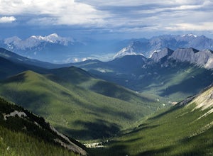
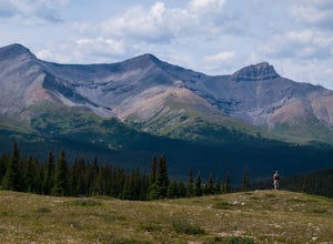
Hike the Sulphur Skyline Trail
4.75 mi / 2296.6 ft gainTake Highway 16 to Pocahontas. Turn onto the Miette Hot Springs Road (Pocahontas). Drive to the Miette Hot Springs parking area.The trailhead is to the right and behind the hot springs building. Walk up the stairs to the hot springs and through the passenger drop off loop drive. Don't be confused...Read more -
Improvement District No. 12, Alberta
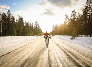
Fat Bike Maligne Lake Road
5.08.7 miMaligne Lake Rd can be explored after February 28. The late start to the season is due to avalanches and Caribou migrations during the early stages of winter. There is an abundance of trail, both short and long that start from Maligne Lake carpark ranging from 2.5km to 14km and vary from moderate...Read more -
Pocahontas, Alberta
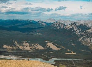
Hike Roche Miette
2.08.1 mi / 4265.1 ft gainThis mountain is one of those most prominent features as you enter Jasper National Park. Although it's North Face is sheer, this scramble leads you up the North East Col to the summit. 3.5km West of the Miette Hot Spring road there is a small parking lot with a gate. Park here and follow a fores...Read more -
Jasper, Alberta
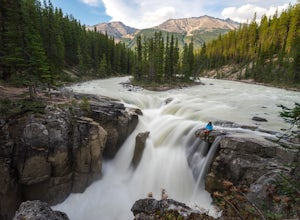
Sunwapta Falls
4.61.91 mi / 0 ft gainLocated in Jasper National Park, Alberta, Sunwapta is a short drive along the Icefields Parkway to the Rocky Mountain Lodge. You can park at the lodge and take a short walk out to the falls or if there's room, park at the parking area located next to the falls. This stunning waterfall lunges abou...Read more -
Jasper, Alberta
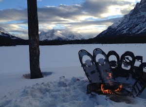
Snowshoe to Big Bend Campground
10.9 miThe Big Bend Trail is the first part of the greater Fortress Lake trail system. Situated in Jasper National Park, Canada, this hike is extremely quiet during the winter, so if you're looking for seclusion, this winter trail is for you. The trail is transformed into a wonderland during the winter ...Read more -
Yellowhead County, Alberta
Cardinal Divide Ridge
4.98 mi / 607 ft gainWhitehorse is located in the northern front ranges of the Rocky Mountains. It shares a portion of its west boundary with Jasper National Park and its east boundary with a coal mine. The majority of the park is located above tree line with extensive alpine meadows and subalpine slopes. The view o...Read more -
Fraser-Fort George H, British Columbia
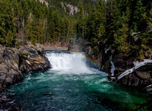
Hike to Overlander Falls
4.50.6 mi / 150 ft gainOnce you get to the pull out and head down the trail it is a 500m downhill walk to the lookout point of Overlander Falls. The waterfall is 10m (33ft) tall and 30m (98ft) wide. On a clear day you can see tall mountains around you and if you look down stream away from the falls it is just as beauti...Read more -
Fraser-Fort George H, British Columbia
Heli-Hike the Berg Lake Trail
5.014.3 mi / -2610 ft gainIf you do not have the time (or energy) to backpack into Berg Lake and camp overnight, one solution is to fly into Berg Lake via Robson Helimagic's chopper and hike out. Going with this heli-hiking route allows you to experience this iconic trail without the hassle of camping and getting proper p...Read more -
Mount Robson, British Columbia
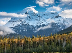
Backpack to Berg Lake
4.726.6 mi / 3734 ft gainMount Robson Provincial Park is vast and surrounded by the Canadian Rockies with an area of 2,249 km². If you want to experience the highest mountain in the Canadian Rockies you've gotta check out Mount Robson. From the parking lot to Berg Lake is 21 km, with 790m of elevation gain. You will fir...Read more -
Mount Robson, British Columbia
Backpack to Robson Pass
5.024.01 mi / 3766 ft gainThis trail is one of the most popular in all of Canada, and so reservations must be made to stay at campgrounds quite a way in advance. Find more information here http://www.env.gov.bc.ca/bcpar... Make sure to check out this map for trail and campsite information, an elevation profile, and good ...Read more -
Fraser-Fort George H, British Columbia
Hike to Snowbird Pass, Mount Robson Provincial Park
14 mi / 2300 ft gainThis epic day hike to Reef Icefield can be done if you are staying at the Berg Lake Campground. Berg Lake is accessible from the Berg Lake Trailhead just off of Canada Highway 16. Permits to stay at Berg Lake can be purchased at the Visitor Centre near the trailhead.Snowbird Pass is located 7 mil...Read more -
Fraser-Fort George H, British Columbia
Backpack the Berg Lake Trail
5.026.1 mi / 2500 ft gainThis hike starts at Mount Robson visitor centre and has 8 campsites along the hike. Be sure to stop by the visitor center for up-to-date details. We stayed at campsites located at Kinney Lake 7km in, then whitehorn 11 km in, and then Berg lake 21km in. Kinney lake is a light blue coloured lake, n...Read more -
Jasper, Alberta
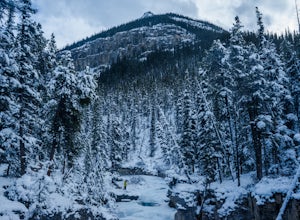
Explore Beauty Creek in Winter
3.7 miHiking up Beauty Creek to Stanley Falls is a must do summer activity for all those who love waterfalls. In the winter, this canyon gets transformed into a magical winter wonderland full of interesting ice formations. The creek and falls freeze over, but open holes of flowing water are easily foun...Read more

