Eldon, Alberta
Top Spots in and near Eldon
-
Columbia-Shuswap A, British Columbia
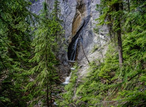
Hike to Hamilton Falls, Yoho NP
4.01.76 mi / 474 ft gainHamilton Falls trail sign is across the parking lot from Emerald Lake and points you in the direction of the trail. The trail will start with a gentle incline which immediately places you into a lush forest as the noise of tourism begins to fade. Approximately 0.4 miles up the trail, you will rea...Read more -
Field, British Columbia
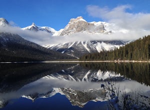
Hike the Emerald Lake Circuit
5.03.2 miEmerald Lake is without a doubt one of the most beautiful lakes in the Canadian Rockies and is the jewel (see what I did there...) of Yoho National Park. The circuit surrounding the lake allows great opportunities for pictures and views from all sides.Getting there: Just west of Field, BC turn of...Read more -
Field, British Columbia
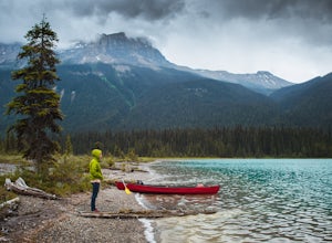
Canoe Emerald Lake
4.32 miBeat the crowd at Moraine Lake and paddle Emerald Lake instead! This lake is a must for any Banff/Yoho explorer. It's an easy drive off HWY 1 but stop at the Natural Bridge along the way. There's a restaurant, Cilantro, inside the lodge with a patio along the shore. Canoe rentals are around $90 ...Read more -
Improvement District No. 9, Alberta
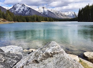
Hike to the Hermit of Inglismaldie
4.02 mi / 34 ft gainAs you drive towards Johnson Lake, the road will end at a parking lot where you should park. There are restrooms and picnic tables located in this same area. Due to the low elevation, the trail around Johnson Lake is a gentle walk, but trail conditions should always be checked especially during ...Read more -
Improvement District No. 9, Alberta
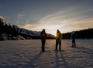
Snowshoe to Johnson Lake
2 miThis is a well-traveled hike, so if you stay on the path, you'll likely need only a good pair of boots. However, in the middle of winter, the lake freezes solid, and you might enjoy exploring a little out on the frozen lake like we did. Snowshoes definitely came in handy out there.This is a very ...Read more -
Improvement District No. 9, Alberta
Mosquito Creek Backpacking Adventure
18.7 mi / 3822.2 ft gainThe Mosquito creek trailhead is on the east side of the Icefield parkway road just across from the Mosquito Creek Hostel. You park in front of the hostel, and hop across the road to begin the trek.The trail winds up the Mosquito Valley, occasionally popping into a clearing where you get good view...Read more -
Parson, British Columbia
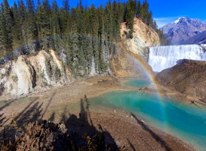
Hike to Wapta Falls, Yoho National Park
5.02.4 mi / 180 ft gainThis short 1.2 mile hike leads you through a relatively level forest to a spot on the Kicking Horse River where the water crashes off a river-wide cliff, producing almost a guaranteed rainbow at the bottom. The trail starts at the Wapta Falls Trailhead, which is a short drive off the Trans Canadi...Read more -
Improvement District No. 9, Alberta
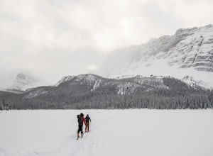
Ski Tour the Crowfoot Glades
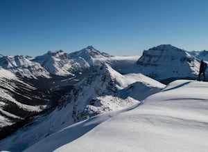
Park at the viewpoint for the Crowfoot Glacier, roughly 32 kilometers after turning off Highway 1. It does sometimes get busy so you might end up parking on the side of the road. From the parking lot head southwest, there is almost always a skin track here. No skin track? Freshies! YAY! After a s...Read more -
Improvement District No. 9, Alberta
Snowshoe up Crystal Ridge
2.04.3 mi / 2099.7 ft gainFor anyone looking to leave crowds behind but still have a killer day, Crystal Ridge might be up your alley! On an unseasonably warm January Saturday, I was the only one to access the trail. My singular trail was the only blemish on the pristine field of snow.The trailhead is located in the north...Read more -
Improvement District No. 9, Alberta
Watch the Sunrise at Bow Lake, Banff NP
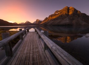
5.0Make sure check the sunrise time and to try to arrive 30 minutes to an hour before. If you're driving north or south along the Icefields Parkway, you'll see a sign for Bow Lake, it's about 38km north of Lake Louise. There are two pull-offs for the lake, if you're heading north take the second roa...Read more -
Canmore, Alberta
Climbing at Grassi Lakes
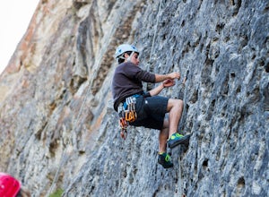
4.0From the parking lot walk about 350 meters back towards Canmore. At this point you will go down the hill towards Grassi Lakes. From here you have your pick of climbs, be warned though the area is a popular, short hike for locals and tourists. Get there early to enjoy some peace and quiet.You will...Read more -
Improvement District No. 9, Alberta
Hike to Bow Glacier Falls
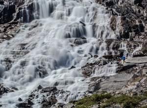
5.05.6 mi / 508.5 ft gainThe trailhead begins directly behind the Num-Ti-Jah Lodge on km 37 of the Icefields Highway. The trail is well marked and winds along the shore of Bow Lake for the first 1.2km of the hike. Eventually you will lead up to a narrow gorge and onto the crest of a glacial moraine. There are only a few...Read more -
Kananaskis, Alberta
East End of Rundle Scramble
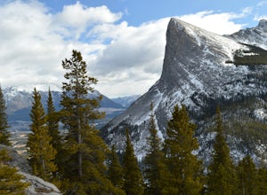
4.44.7 mi / 2880 ft gainThis well marked, fun hike that has a bit of everything, from easy forest walking, to steep slabs, minor hands on scrambling, and a scree slope to the summit.From the parking lot, head north up the hill, where the trail begins around the power poles. There a few different paths to start, so it's ...Read more -
Canmore, Alberta
Ha Ling Sunrise Hike
4.15 mi / 2296.6 ft gainStart at the Goat Creek parking lot and cross the road towards Ha Ling. There is an access road with a gate on the other side. Walk up the road and across the bridge. From there the trail is obvious and will lead you to the summit. Overall it's a fairly easy hike with switchbacksOnce above tree l...Read more -
Canmore, Alberta
Hike to Grassi Lake
4.52.4 mi / 820.2 ft gainTo get to the Grassi Lake trailhead, continue past the Nordic Center about 2km and take a small left when you reach a junction between a gravel road and a paved road. You want to be on the paved road, as this will lead you down to the Grassi Lake parking lot. The trail starts right behind the res...Read more -
Edgewater, British Columbia
Hike to Windy Ridge
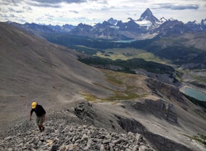
10.6 mi / 1640.4 ft gainWindy Ridge is located by Og Pass in the Mount Assiniboine Provincial Park. Whether you start from any of the campgrounds, huts or the lodge, the way to the Windy Ridge Trail is well indicated and the trail itself is well worn. Beware that if you are using the Gem Trek map (1:100,000), the notes ...Read more

