Banff, Alberta
Looking for the best photography in Banff? We've got you covered with the top trails, trips, hiking, backpacking, camping and more around Banff. The detailed guides, photos, and reviews are all submitted by the Outbound community.
Top Photography Spots in and near Banff
-
Turner Valley, Alberta
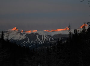
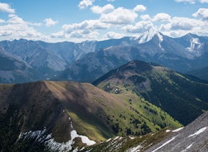
Snowshoe to Midnight Peak
7.5 mi / 3120 ft gainWhen exploring, sometimes the best days are when you bite off a bit more than you can chew and push your limits. On a summer day without a cloud in the sky, Midnight Peak would be challenging, but in winter it's a difficult test to be attempted by the prepared and able.The trail to Midnight Peak ...Read more -
Turner Valley, Alberta
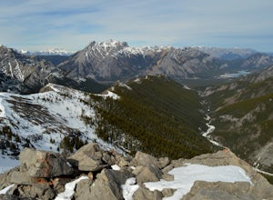
Scramble up to Wasootch Peak
Wasootch Peak is for people who's inner scrambler is screaming to push on when they're on Wasootch Ridge. This description will be focusing on the trail to the summit from the main cairn on Wasootch Ridge. For an excellent description on how to get to that cairn, check out Hike to the Top of Waso...Read more -
Kananaskis, Alberta
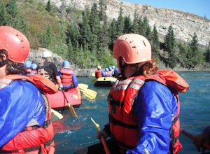
Raft the Kananaskis River
4.7The river is perfect for first time rafters and families, but the Kananaskis River also provides enough thrills for even a seasoned whitewater enthusiast. You will spend approximately 2 hours paddling, surfing and, if you feel brave enough, swimming in this glacial fed river! The section of rive...Read more -
Turner Valley, Alberta
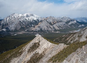
Hike Porcupine Ridge
5.9 mi / 2231 ft gainThis trail was really easy to find and follow, unfortunately that means the description will be short.Park your car at Porcupine Creek on Highway 40 and take off to the southeast! The path follows the creek and requires a couple of creek crossings on makeshift bridges, but once the creek forks yo...Read more -
Kananaskis, Alberta
Scramble Smutwood Peak
5.011.8 mi / 2772.3 ft gainThe trailhead is is located at the first left after the bridge past Engandine Lodge in Kananaskis. The trail forks after a while and you need to take a right which takes you into Smuts Pass. This trail is actually really cool and fun to walk - undulating, narrow, rooted, and right along the edge ...Read more -
Kananaskis, Alberta
Snowshoe to Rummel Lake and Pass
4.07.5 mi / 2000 ft gainThe trailhead to Rummel Lake/Pass is off of Kananaskis Trail (Smith Dorrien Trail) directly across from the turn to Mt. Shark at the south end of Spray Lakes - it will likely be marked by cars attempting the same trail. The trail is well packed and snowshoes aren't even necessary until after Rumm...Read more -
Kananaskis, Alberta
Hike Old Baldy Ridge
9.3 mi / 2952.8 ft gainPark at the Evan Thomas parking lot to and the trailhead is in the south of that parking lot. It follows a well-defined trail up for most of the way before you start gaining elevation. When the trail starts heading south, keep an eye out for a small trail that will keep you heading east. This por...Read more -
Kananaskis, Alberta
Hike up Galatea Creek to Lillian Lake
Located on Highway 40 (Kananaskis Trail) and marked by the "Galatea" sign, there's not much more to this hike other than putting one foot in front of the other, but the amount of traffic it sees is a testament to the quality of this hike.Even on the backend of winter the numerous shades of green ...Read more -
Turner Valley, Alberta
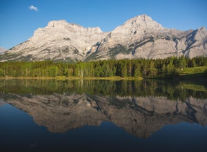
Photograph Wedge Pond
3.00.25 mi / 10 ft gainJust off Highway 1 in Kananaskis Country is a beautiful pond that makes for a wonderful spot to enjoy the first light on the Canadian Rockies. Bring warm clothes as this place can be especially cold. Don't forget a camera and a blanket. I recommend going for sunrise as this is when the lighting i...Read more -
Kananaskis, Alberta
Scramble the Wedge
5 mi / 3444.9 ft gainDrive south on Highway 40 and your adventure begins at Wedge Pond. Parking in the parking lot is easy enough if you're there early enough in the day (before 10:00). The trail up the Wedge starts near the bathrooms, and heads south - not southwest towards the pond. After only a few minutes of walk...Read more -
Improvement District No. 9, Alberta
Eiffel Lake via Valley of Ten Peaks
5.07.35 mi / 1647 ft gainHike with amazing views of Valley of Ten Peaks, including Mount Fay (10,613 ft), Mount Little (10,131 ft), Deltaform Mountain (11,234 ft), and Wenkchemna Peak (10,401 ft) to two breathtaking glacial lakes in the heart of the Continental Divide. From the lake, the trail is quite easy to follow, a...Read more -
Improvement District No. 9, Alberta
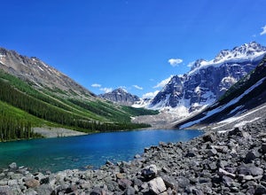
Hike to Consolation Lakes
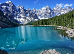
4.03.7 mi / 196.9 ft gainOnce at Moraine Lake, the directions to Consolation Lakes are quite clear. From the parking lot, head northeast past the rockpile, which provides fantastic views of Moraine, then follow the Consolation Lakes Trail for another 2.9 km (1.8 miles) past Taylor Lake until you reach the lake. Depending...Read more -
Improvement District No. 9, Alberta
Larch Valley Trail to Minnestimma Lakes
5.05.61 mi / 1909 ft gainStarting at the Moraine Lake parking lot take, take the main trail the leads down past the cafe and lodges on the lake shore. A short way down the trail splits, to the left is just the lakeside walk. For Larch Valley take a right, it is clearly signed. Depending on the time of the year there are ...Read more -
Improvement District No. 9, Alberta
Eiffel Peak
5.07.14 mi / 3917 ft gainTake in stunning alpine views of the famous Valley of the Ten Peaks as you head to Eiffel Peak. A much more unique photo opportunity of Moraine Lake. Views of several prominent glaciers and the gorgeous Paradise Valley. The Eiffel Tower rock formation viewable from the summit. 11km roundtrip. 130...Read more -
Improvement District No. 9, Alberta
Scramble the Ten Peaks via the Perren Route
A true adventure with lots of route finding, glacier travel, loose rock and high altitude views. This is not for the faint hearted or first timers.From the Moraine Lake parking lot walk down the east side of the lake along the well maintained trail. Towards the end of the lake you will cross the ...Read more -
Improvement District No. 9, Alberta
Scramble the Tower of Babel
4.01.94 mi / 1726 ft gainStarting at the Moraine Lake parking lot follow the trail East along behind the large pile of boulders along the lake shore. Once you reach the foot of the Tower of Babel scramble up the slope to heading towards the valley between the two peaks. The easiest route is along one of the cliff faces w...Read more

