Banff, Alberta
Looking for the best photography in Banff? We've got you covered with the top trails, trips, hiking, backpacking, camping and more around Banff. The detailed guides, photos, and reviews are all submitted by the Outbound community.
Top Photography Spots in and near Banff
-
Kananaskis, Alberta
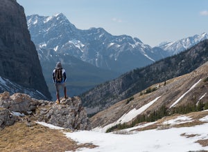
Hike Spencer Creek
2.5 mi / 1968.5 ft gainSouth of the Driftwood turnoff (approximately 4 km) on Spray/Smith-Dorrien Trail a large creek bed on the east of the road is the beginning of Spencer Creek. The trail is easy enough to find, just have to do a bit of looking.Once on the trail, you'll basically have no trouble at all. The trail it...Read more -
Bighorn No. 8, Alberta
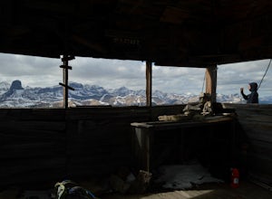
Scramble Up Black Rock Mountain
4.0Fortunately, or unfortunately depending on your point of view, getting to/finding the trailhead is the most difficult part of this hike! On top of Black Rock Mountain is an abandoned fire lookout that was utilized from 1928 to 1950. Through all those years, the lookout was supplied by pack horses...Read more -
Bighorn No. 8, Alberta
Heart Mountain and Grant MacEwan Scramble
2.0A bit of a jaunt is required to get to the start of the scramble - follow the Heart Creek Trail, and after crossing the creek, look for a yellow sign that marks the scramble route. There will be exposure as well as use of hands, but it is totally do-able as long as you keep your head right!After ...Read more -
Bighorn No. 8, Alberta
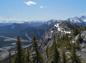
Summit Door Jamb Mountain and Loder Peak
4.0If you're looking for views, vistas, and great scrambles in the Rockies, this is a great place to start. For any geology enthusiast, furthermore, this hike cannot be missed, offering great opportunities to search for some seriously ancient fossils.The trail begins on the west side of the parking ...Read more -
Bighorn No. 8, Alberta
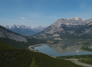
Hiking Jura Creek
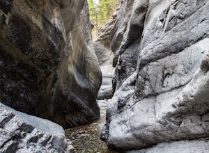
5.0From the parking lot find the trail head that leads away from the highway. This is an easy, but very interesting hike that will take you through a winding slot canyon.Take your time and explore all the various options, there are small waterfalls, and if you're feeling really adventurous you can c...Read more -
Improvement District No. 9, Alberta
Hike to Boom Lake
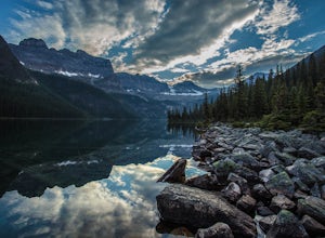
4.06.2 miBoom Lake offers amazing views of Boom Mountain and the ridge separating Alberta and British Columbia. It is not as popular as many other hikes in the area, which means exclusion for anyone willing to explore the lake. The abundant wildlife in the area includes wolves, bears, mountain goats, de...Read more -
Eldon, Alberta
View the Castle Mountain Lookout
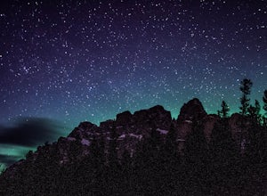
Castle mountain, so named for its fortress-like shape, is a quick hop away from the town of Banff. If you don't have time to hike to Rockbound Lake (at the base of Castle), head to the viewpoint just off of Highway 91 and snap some pictures of this epic mountain. Drive north for about 10 minutes...Read more -
East Kootenay G, British Columbia
Hike The Floe Lake Trail
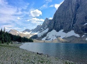
13 mi / 2350 ft gainKootenay National Park is one of the lesser visited parks in a chain of spectacular parks in the Canadian Rockies between Banff and Jasper. Straddling the Trans-Canadian Highway, the park offers hot springs, awesome mountain views, and glaciers. As you enter the park, keep an eye out for the griz...Read more -
Kananaskis, Alberta
Hiking to Karst Spring in Kananaskis Country
4.5Every year, over 5 million visitors make their way through Banff National Park to soak in the surrounding peaks, bountiful wildlife, and turquoise-colored lakes. With this many visitors, it's hard to find yourself alone, especially during the peak seasons of summer and fall. Right next door to Ba...Read more -
Kananaskis, Alberta
Bryant Creek Lodge via Watridge Lake Trail
16.65 mi / 1401 ft gainThis moderate-graded backcountry hike or ski in the winter can take 5-8 hours (one way). Most people hike or ski in from the Mt. Shark parking lot in Kananaskis Country, a 30 min. drive from Canmore, Alberta. From Mt. Shark Parking Lot (off the Smith-Dorrien Road), take the Watridge Lake Trail t...Read more -
East Kootenay G, British Columbia
Hiking in Marble Canyon
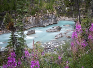
1.2 miMarble Canyon is easily accessible off of the 93S in Kootenay National Park between Banff and Radium.This is a really beautiful area and a nice easy walk for the family with some beautiful scenery to go along with it. Make a visit here in August when the the Fireweed is at its prime, lining the f...Read more -
Kananaskis, Alberta
Ribbon Falls
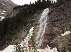
3.812.4 mi / 1148.3 ft gainRibbon Creek trail is accessible via Highway 40 at the turn off for Nakiska Mountain Resort. From there take a left at Centennial Drive and then a right onto Ribbon Creek Road. The hike begins at the far end of the Ribbon Creek Trailhead parking lot. There is an old coal mining cart at the start...Read more -
Kananaskis, Alberta
Hike Centennial Ridge
9.9 mi / 4592 ft gainThis hike can be done as a full traverse, starting at the Ribbon Creek Trailhead and taking you to Dead Man's Flats, just off of the Trans Canada Highway. Starting at the trailhead in the Ribbon Creek parking lot, go north on Hidden Trail. You will be on this trail for ~ 200 m before you need to ...Read more -
Kananaskis, Alberta
Winter Climb Mount Allan
5.08.7 mi / 4429.1 ft gainMount Allan is a 14 km hike that gains 1400 metres of elevation and was one of my favourite hikes when I first moved to Calgary. On a recent snowshoe, a couple I crossed paths with mentioned they had just done Mount Allan in December, so I knew I had to put it on my winter list!The trail begins a...Read more -
Turner Valley, Alberta
Hike to the Top of the Wasootch Ridge
4.08.7 mi / 3280 ft gainThe start to this hike is located about 45 minutes west of Calgary and about the same East of Banff. Off the Trans Canada Highway take the highway 40 exit into Kananaskis and continue until you reach the Wasootch Creek area. There is ample parking, however during spring and summer months it can b...Read more -
Kananaskis, Alberta
HIke to Barrier Lake Lookout
3.3From the parking lot, cross the dam, heading west onto the trail, with the lake on your left. Once you reach the forest, you will come to a 'Y' intersection, from which point you have two options:6.7 miles (10.8 km), 4 hours roundtrip, out-and-back For a shorter hike, go right at the 'Y' intersec...Read more

