Michael
Hike the Sleeping Bear Point Trail
Glen Arbor, Michigan
5.0
2.8 mi
The Sleeping Bear Point Trail is a 2.8 mile loop through the sand dunes with amazing views of Lake Michigan and South Manitou Island. There is a 0.5 mile spur hike from the trailhead to the Lake Michigan beach. It is less strenuous than the hike from the Dune Climb to Lake Michigan.
Hike to Wildcat Canyon at Starved Rock SP
Oglesby, Illinois
4.5
2 mi
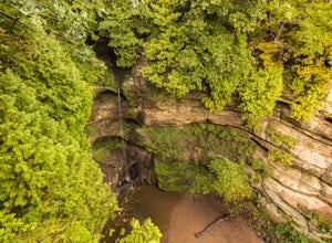
If you happen to find yourself in the Chicagoland area be sure to check out the Wildcat Canyon hike at Starved Rock State Park. This is a 2 mile out and back hike from the visitor's center that leads to the largest waterfall in the park. There are two viewpoints from the top of the canyon or you can descend the stairs to the bottom and explore the canyon. The waterfall tends to be at its ful...
Hike Ottawa Canyon at Starved Rock State Park
Oglesby, Illinois
5.0
3.9 mi
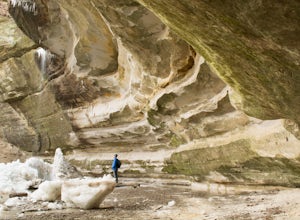
This canyon is not as popular as some of the others in this park but it is my favorite by far. You can either hike the full 3.9 miles from the visitor center or you can jump in your car and head over to one of the parking lots on the east side for a shorter hike. Either way you will not be disappointed.Starved Rock has some very interesting rock formations you can explore. The valley was form...
Hike to St. Louis Canyon at Starved Rock State Park
Oglesby, Illinois
5.0
3 mi
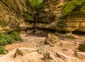
Starved Rock has some very interesting rock formations you can explore. The valley was formed by a series of floods as glacial melt waters broke through moraines, sending torrents of flood water surging across the land that eventually eroded the sandstone and sedimentary rock. If you arrive in the winter you get to experience ice falls and bald eagles from December to early March.
Black Oak Trail
Willow Springs, Illinois
4.5
2.64 mi
/ 148 ft gain
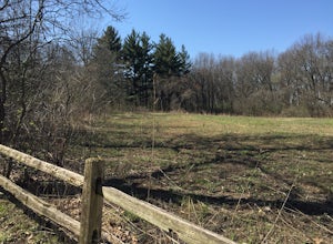
The trails traverse a rolling glacial highland of oak woods and prairie. The hiking trails connect to miles of multi-use trails where you can hike, mountain bike, cross country ski and snowshoe. Lastly, there is an interpretive center with exhibits about local nature and history.
The trailhead starts just west of the Farm Pond Trail and interpretive center and loops for 2.6 miles through a w...
Cemetery Hill
Willow Springs, Illinois
2 mi
/ 100 ft gain
Just outside of Chicago the Palos Region of the Cook County Forest Preserve offers a few thousand acres of dirt single track and limestone paths. Here you will find rolling hills and bluff that will rev up your hill workouts.
This single track loop is great for mountain biking and trail running. You can access the trail by parking in the Maple Lake East parking lot and finding the trailhead ...
Photograph Yosemite's Half Dome at Glacier Point
Mariposa County, California
4.7
Glacier Point gives you a classic view of Half Dome and Yosemite Valley. You can get a different perspective of Half Dome if you jump on any of the trails heading out of Glacier Point. Illilouette Falls trail gives you a different view of Half Dome. This trail is around 4-5 miles round trip from the Glacier Point parking lot.
Community
© 2024 The Outbound Collective - Terms of Use - Privacy Policy

