Wisconsin
Looking for the best photography in Wisconsin? We've got you covered with the top trails, trips, hiking, backpacking, camping and more around Wisconsin. The detailed guides, photos, and reviews are all submitted by the Outbound community.
Top Photography Spots in and near Wisconsin
-
Saxon, Wisconsin
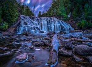
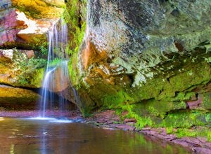
Lower Potato Falls
3.60.48 mi / 207 ft gainComing into the park off Hwy 169 in Gurney, WI, you will turn West onto Falls Rd. It is a gravel road that ends at a circular parking lot, complete with a pit toilet, picnic area, viewing areas, and trailheads. Starting at the trailhead labeled "Lower Potato Falls", you will descend a couple hun...Read more -
Mellen, Wisconsin
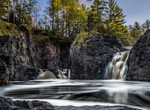
Hike to Copper Falls
4.62 mi / 85 ft gainComing into the park on Hwy 169, you will turn west/northwest into the park entrance. After passing the Ranger's Station you will follow the road (passing camp areas and showers along the way) all the way to the main parking lot near a concessions building. *The handicap parking lot is a little f...Read more -
Delafield, Wisconsin
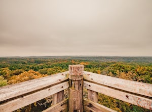
Hike the Kettle View Trail at Lapham Peak
5.05.8 miHead 30 minutes west from Milwaukee along I-94 and you'll find yourself in the quaint town of Delafield, WI. Head south down Genesee St. for a half mile and you'll see the entrance to Lapham Peak, part of the Kettle Moraine State Forest. Once there, you can head up the winding road to the parking...Read more -
Baraboo, Wisconsin
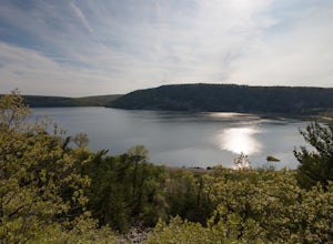
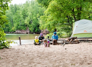
Camp at Devils Lake State Park
3.0Devil's Lake State Park has 29 miles of trail that vary in difficulty. The most popular trails are the East and West Bluff trails that circle Devil's Lake and offer some of the best views in the park. If you want a more relaxing day, head to the beach! It's a family-friendly spot that is the perf...Read more -
Cudahy, Wisconsin
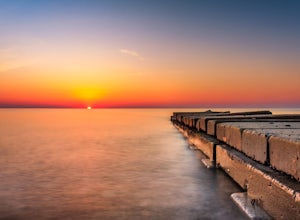
Experience a Sunrise at Sheridan Park
5.0Sheridan Park is home to one of the most beautiful, stunning and scenic sunrises in Wisconsin. Located about 10 minutes south of downtown Milwaukee, this location is accessible by hiking about 10 minutes from your parking location. Follow the winding path down to the beach and you'll find abandon...Read more -
South Range, Wisconsin
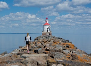
Explore Wisconsin Point
5.0If you’re in the Twin Ports area, (Duluth, MN and Superior, WI) be sure to check out Wisconsin Point. This peninsula is about 3 miles long and has several great spots to relax on the sandy beach (or swim in the chilly waters of Lake Superior). At the end of the peninsula is the Wisconsin Point Li...Read more -
Baileys Harbor, Wisconsin
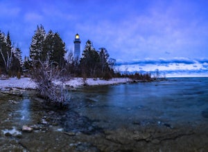
Explore Cana Island Lighthouse
4.01 miYou will arrive at a parking lot that is on the mainland. Once parked, you will need to walk across the land bridge to Cana Island where you will come to a small building to pay an admission fee. Hours and Fees are below.Once on the island, you can walk around and explore the light keeper's house...Read more -
Marengo, Wisconsin
Hike to Morgan Falls
1.2 miIt's a easy hike to the waterfall being only 1.2 mile round trip, but traveling to the waterfall might take time as it's fairly remote. There is a $5 daily park fee.Directions can be complicated depending on which direction you are coming from, so I highly recommend entering it into your google m...Read more -
Cross Plains, Wisconsin
Hike through Indian Lake Park
4.04.7 mi / 324 ft gain442 acre park just outside of Madison is a perfect spot to escape for awhile. About a 20 minute drive from Madison makes it easily accessible even on a tight schedule. It provides a great place for lots of outdoor activities, year round.I love this place enough that I have been there many times a...Read more -
Horicon, Wisconsin
Hike through the Wetlands of the Horicon Marsh
4.55.25 miHoricon Marsh is located about an hour north of Milwaukee. The wildlife refuge features several trails ranging from a quarter mile up to nearly 3 miles long. Terrain can vary slightly, but most of the land, especially around the wetlands, is flat. The marsh features an abundance of wildlife. Hund...Read more -
Cornucopia, Wisconsin
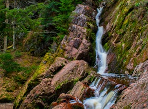
Siskiwit Falls
3.00.35 mi / 7 ft gainSiskiwit Falls is located on the Siskiwit River in Cornucopia. There are a few different drops and slides along the river that can be easily explored. To access the falls (from Bayfield), follow Highway 13 to County Rd C, and take a left on Siskiwit Falls Road. There is a bridge shortly after th...Read more -
La Pointe, Wisconsin
Hike the Point Trail at Big Bay State Park
1.7 miLocated at the tip of Wisconsin on Madeline Island, Big Bay State Park is a must see for any Wisconsinite. To get to Madeline Island, you'll need to purchase a round trip ferry ride in Bayfield. The ferry is a quick 20 minute trip across Lake Superior. Once you get onto Madeline Island, head out ...Read more -
Sturgeon Bay, Wisconsin
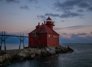
Photograph the Lighthouse at Sturgeon Bay Ship Canal Pierhead
4.0Driving on Highway 42 from Sturgeon Bay, cross the bridge over the canal heading north. Take the first right after crossing the bridge on Utah Street. Turn right on Cove Road, followed by a left on Canal Road. Follow Canal Road along the canal until the road comes to a dead end at the U.S. Coast ...Read more -
La Pointe, Wisconsin
Camp on Stockton Island
5.0To get out to the Apostle Islands you have to travel by boat. Many people choose to sea kayak, but with small kids we opted to take the ferry/taxi through the Apostle Islands concierge (apostleisland.com ). However, there was one man who brought his kayak over on the ferry and then paddled around...Read more -
Port Wing, Wisconsin
Explore Twin Falls, WI
3.00.5 miIt’s located on Highway 13 on the outskirts of Port Wing, WI. If you are coming from the west, you’ll see a sign on your right for the park. This will be before you get to the town of Port Wing. If you are coming from the East on Highway 13, you will pass through the town and it’s shortly after ...Read more -
Stevens Point, Wisconsin
Hike to Moses Creek in Schmeeckle Reserve
5.02 mi280-acre Schmeeckle Reserve is maintained by the University of Wisconsin-Stevens Point College of Natural Resources. Everything about it is in pristine condition. You will almost certainly encounter wildlife, and sometimes the wildlife is quite curious. I have had deer walk within five feet of me...Read more

