Necedah, Wisconsin
Looking for the best hiking in Necedah? We've got you covered with the top trails, trips, hiking, backpacking, camping and more around Necedah. The detailed guides, photos, and reviews are all submitted by the Outbound community.
Top Hiking Spots in and near Necedah
-
Tomah, Wisconsin
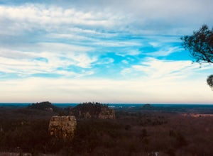
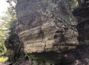
Hike the Mill Bluff Trail
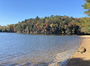
5.01.25 mi / 175 ft gainMill Bluff State Park is located south of I-90 in Tomah. The park is known for it's featured bluffs that can be seen very prominently in the flat landscapes in the area. The park offers campsites, a small swimming hole, and some hiking trails along the bluffs. The trail along the main bluffs fol...Read more -
Wisconsin Dells, Wisconsin
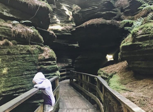
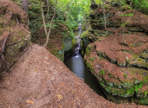
Hike through Witches Gulch Slot Canyon
5.0You can most easily visit Witches Gulch via the Upper Dells Boat Ride and it was phenomenal! My kids were mesmerized by the mossy rocks, the walkways. Bring an extra layer because it is significantly cooler in the slot canyons than the boat ride.Read more -
Wisconsin Dells, Wisconsin
Chapel Gorge Trail
5.01.85 mi / 240 ft gainChapel Gorge Trail is a loop trail that takes you by a river located near Wisconsin Dells, Wisconsin.Read more -
Reedsburg, Wisconsin
Hike the Echo Rock Trail
2 mi / 60 ft gainPark near the boat launch parking lot and follow signs for the "Echo Rock" trail. This trail will take you roughly 45 minutes round trip to complete from the parking lot. Well worth your time if you are already in the park as it is one of the best scenic areas and topographical landmarks that the...Read more -
Ontario, Wisconsin
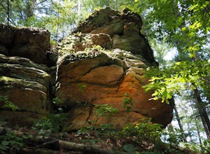
Hike the Hemlock Trail
4.52.7 mi / 356 ft gainTake the unnamed road that turns off of Highway 33 (see map). At the end of this road is a parking lot and the trailhead. The trail will take you along the Kickapoo River in a 2.7 mile loop through hemlock forest. You can see exposed rock formations on this trail.Read more -
Black River Falls, Wisconsin
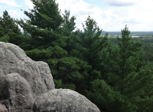
Castle Mound Lookout at Black River State Forest
5.01.99 mi / 200 ft gainThis trail is found at the Castle Mounds Campground within the Black River State Forest. Black River State Forest is huge so follow these instructions to get to the correct campgrounds: From I-94, take Black River Falls Exit 116, travel west on Hwy 54 into Black River Falls. Drive to the third s...Read more -
Baraboo, Wisconsin
Explore Pewit's Nest State Natural Area
3.81 mi / 30 ft gainPlease note this warning from the park's website: Climbing on rock walls, cliff jumping or entering the closed area for any reason is prohibited, and violators will be subject to a $175 citation. Visitors are also prohibited from bringing in food or beverage or being on the property between 8 p.m...Read more -
Stevens Point, Wisconsin
Hike to Moses Creek in Schmeeckle Reserve
5.02 mi280-acre Schmeeckle Reserve is maintained by the University of Wisconsin-Stevens Point College of Natural Resources. Everything about it is in pristine condition. You will almost certainly encounter wildlife, and sometimes the wildlife is quite curious. I have had deer walk within five feet of me...Read more -
Stevens Point, Wisconsin
Bike the Green Circle
27 miThe Green Circle was established over thirty years ago, providing urban community members a trail system that encircles the entire Stevens Point area. The 27 mile loop is comprised of 12 unique sections and is accessible at numerous locations. The official trail head is located at the Schmeekle ...Read more -
Neillsville, Wisconsin
Levis/Trow Mounds Trail
5.89 mi / 846 ft gainLevis/Trow Mounds Trail is a loop trail where you may see beautiful wildflowers located near Neillsville, Wisconsin.Read more -
Baraboo, Wisconsin
Camp at Devils Lake State Park
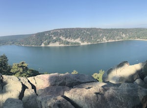
3.0Devil's Lake State Park has 29 miles of trail that vary in difficulty. The most popular trails are the East and West Bluff trails that circle Devil's Lake and offer some of the best views in the park. If you want a more relaxing day, head to the beach! It's a family-friendly spot that is the perf...Read more -
Baraboo, Wisconsin
Hike the East Bluff Trail to Devil's Doorway
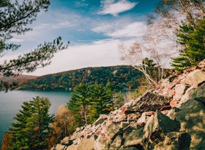
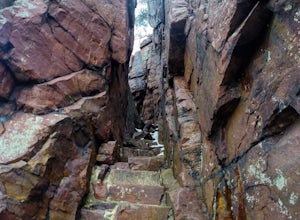
4.82.4 mi / 500 ft gainThis hike begins at the east end of the North Shore Visitors' area. The hike starts relatively level before turning to the right and leading you up steps. The spectacular views come quickly on this hike as immediately after you reach the top steps you will be treated to your first glimpse of the ...Read more -
Baraboo, Wisconsin
Bouldering at Devil's Lake State Park in Wisconsin
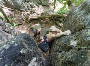
5.0Devil's Lake State Park in Wisconsin offers some of the craziest views in the midwest as well as an abundance of supreme bouldering sites. To start off this endeavor there is one key item: a parking sticker. You can obtain one of these by heading over to either the north shore or south shore park...Read more -
Baraboo, Wisconsin
Hike the Perimeter of Devil's Lake
5.05 mi / 500 ft gainDevil's Lake State Park has over 22 miles of trails for all hiking skill levels. To hike the perimeter of the lake, Begin with West Bluff Trail, hook into Balanced Rock Trail, and finish with East Bluff Trail. The bluffs surrounding the lakes reach elevations up to 500 feet. West Bluff Trail is a...Read more -
Baraboo, Wisconsin
Balanced Rock Trail at Devil's Lake
5.00.75 mi / 433 ft gainDevil's Lake is one of Wisconsin's most visited and most beautiful state parks, offering many trails, activities, gorgeous scenery and more. There are various trails to explore in the park, including the East Bluff Trail and the Potholes & CCC Trail Loop, as well as camping that's offered. T...Read more -
Merrimac, Wisconsin
Potholes & CCC Trail Loop
4.31.2 mi / 315 ft gainPark in the South entrance group camping lot to find the trailhead, just a few steps North of the parking lot. A few different paths you can take, but took grotto trail (.3 miles) to Potholes trail (.4miles) and looped back on the CCC trail (1 mile). Very steep climb for a decent amount of the tr...Read more

