Wisconsin
Looking for the best hiking in Wisconsin? We've got you covered with the top trails, trips, hiking, backpacking, camping and more around Wisconsin. The detailed guides, photos, and reviews are all submitted by the Outbound community.
Top Hiking Spots in and near Wisconsin
-
Cornucopia, Wisconsin
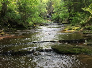
Hike to Lost Creek Falls
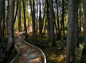
4.02.5 miThe trailhead has been updated for Lost Creek Falls and can now be found on Trail Drive in Cornucopia. On this well-marked 3-mile trail, there are signs along the trail, new boardwalks, and a larger parking area. This is a very nice trail en route to beautiful falls.Read more -
Hartford, Wisconsin
Hike to Loew Lake
5.03 miStarting from county rd K you turn in on Emerald Drive . at the start of Emerald drive is an old and tiny cemetery. Travel all the way on Emerald drive until you reach a sign that says Emerald Lot which is where you park, you can go left or right along the Ice age trail that crosses all across WI...Read more -
Fish Creek, Wisconsin
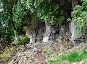
Hike the Bluffs on Eagle Trail in Door County's Peninsula State Park
5.02.1 mi / 200 ft gainThe loop begins at the parking lot of Eagle Bluff/Panorama and immediately descends 200 feet along the Green Bay coast. While paralleling the shoreline, you'll have a chance to explore caves, get your feet wet on the shores of Green Bay, and wander through white cedar forests. The hike is moderat...Read more -
Adell, Wisconsin
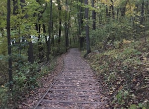
Visit the Parnell Observation Tower
4.00.5 mi / 200 ft gainLocated southwest of Plymouth, WI, the Parnell Observation Tower is located just west of the intersection of Cty Road A and Cty Road U. At the trail-head, the parking lot has a restroom facility, drinking water, and a picnic area.The start of the trail has well established wooden steps along the ...Read more -
Gibraltar Rock State Natural Area, Wisconsin
Gibraltar Rock Loop
5.01.5 mi / 322 ft gainStarting at the trailhead at the base of the hill, follow the paved asphalt path that ascends the backside of Gibraltar Rock. While the trail is paved all the way to the top, there are sections of it that are rather rough due to tree roots tearing the pavement up. There is also a slightly longer ...Read more -
Waukesha, Wisconsin
Bike or Run the Glacial Drumlin Trail (Waukesha to Wales Segment)
5.014 miYour journey begins at the Fox River Sanctuary and E.B. Shurts Environmental Education Center at 810 College Avenue in Waukesha, Wisconsin. Parking is plentiful, and you'll find restrooms and bubblers (or, water fountains to you non-natives) available seasonally. The Glacial Drumlin Trailhead is ...Read more -
La Pointe, Wisconsin
Camp on Madeline Island
5.0The largest of Wisconsin's Apostle Islands, Madeline Island is about the size of Manhattan, but extremely sparsely populated and a great place to explore a north woods ecosystem. The best way to get to the island is by ferry from Bayfield to La Pointe. From La Pointe, it is about a ten minute dri...Read more -
Hubertus, Wisconsin
Walk the Stations of the Cross At Holy Hill
5.01.3 mi / 450 ft gainHoly Hill National Shrine is a landmark within the Wisconsin area, both as a tourist spot and a great location for fall colors. Located outside of Hubertus, WI, it is east of the Kettle Moraine Scene Drive and Cty Rd 167 intersection. Once arriving, there are three parking locations: the top of t...Read more -
Milwaukee, Wisconsin
Hike the Hank Aaron and Oak Leaf Trails in Lakeshore SP
4.31.7 mi / 0 ft gainLakeshore State Park is kind of considered a hidden gem. While yes, it's right along the Milwaukee lakefront, people don't realize just how nice and beautiful it is! This urban state park features two loops (the Hank Aaron and Oak Leaf) that total 1.7 miles. To access the park, you can either par...Read more -
La Pointe, Wisconsin
Hike Bay View Trail, Big Bay State Park
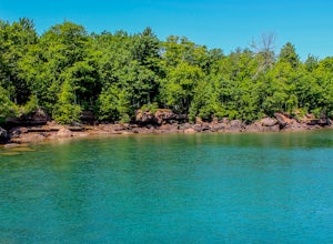
2.6 miStarting at the parking lot, you will walk into an open field with a couple picnic tables. On the right side of the field, the trail enters into a forest and walks along Lake Superior. There are several spots along the trail that you can find to cliff jump and go for a swim. The lake is so clear ...Read more -
Hubertus, Wisconsin
Scenic Tower at Holy Hill
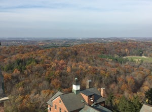
4.51 mi / 200 ft gainThe scenic tower at Holy Hill is one of the highest accessible peaks in the area if you do not own a drone! The views are endless! There are many glacial drumlins, bluffs, and hills everywhere that fill the eye to meet the horizon. You can park in any of the main parking lots at Holy Hill. You w...Read more -
Birnamwood, Wisconsin
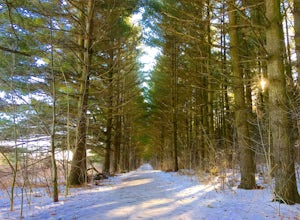
Hike the Plover River Segment of the Ice Age National Scenic Trail
5.05.7 mi / 0 ft gainParking is available at the southern terminus on Sportsman Drive and at the northern terminus on County Hwy HH. There is also parking available mid-trail at the intersection of Highland Drive and State Hwy 52, and south of State Hwy 52 along Highland Drive. Hike the trail as 5.7 miles one way by ...Read more -
Bayfield, Wisconsin
Meyer's Beach Sea Cave Trail
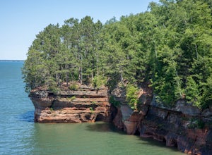
4.33 mi / 791 ft gainWhile many visitors view the mainland Apostle Island Caves via kayak, this trail provides an alternative view of the caves. The Meyer’s Beach Sea Cave Trail follows 2.3 miles of the Lakeshore Trail, which begins at the Meyer’s Beach parking lot near Cornucopia, Wisconsin. The first 0.7 miles of t...Read more -
Menomonee Falls, Wisconsin
Hike through the Menomonee River at Lime Kiln Park
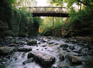
1 mi / 0 ft gainPark right behind Main Street, and you can go on trails on either side of the river, or you can get your rain boots on and go through the river and see these bluffs with your own eyes up close. This is truly a hidden gem here in Menomonee Falls and you will be one of the few people that will disc...Read more -
Hartford, Wisconsin
Catch A Sunset from Powder Hill
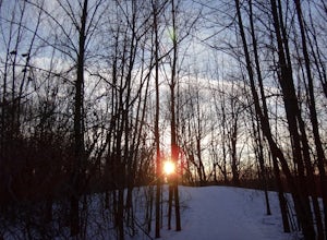
5.02.2 mi / 1350 ft gainAt 1350 feet, Powder Hill is the second highest point in southeastern Wisconsin. You can start the hike to Powder Hill from the Nature Trail parking lot (0.5 miles) or from the beach/picnic area parking lot (1.1 miles). There is an observation tower near the top of the peak that provides a pano...Read more -
Ontario, Wisconsin
Hike the Hemlock Trail
4.52.7 mi / 356 ft gainTake the unnamed road that turns off of Highway 33 (see map). At the end of this road is a parking lot and the trailhead. The trail will take you along the Kickapoo River in a 2.7 mile loop through hemlock forest. You can see exposed rock formations on this trail.Read more

